Map of Roanoke
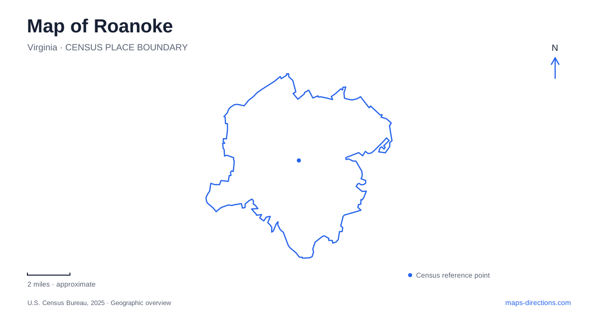
Street tiles load from OpenStreetMap when opened. The blue line shows the 2025 Census boundary.
- State
- Virginia
- Population · July 2025
- 99,111
- Land area
- 42.5 sq mi
- Water area
- 0.3 sq mi
Roanoke's map has three especially useful organizing features: the downtown railway corridor, the river through the valley, and Mill Mountain rising above the urban streets. Market Square belongs to the central commercial and cultural district, while Wasena and Grandin provide other neighborhood reference points. The mountain's visible star is an orientation landmark, but reaching it involves a different route from following the river. Separating those landscapes makes the city easier to understand before choosing a particular road or trail.
Market Square and the railway edge
Center in the Square is at 1 Market Square Southeast, in a seven-story building containing museums, theatres, aquariums, and educational attractions. The address places a range of indoor destinations within the market district rather than scattering them across unrelated parts of town. An internal building guide is useful here because several attractions share the same street location.
The preservation foundation's downtown walking tour connects the City Market area with railway history. Its David and Susan Goode Railwalk links the passenger station with the market, interpreting the railroad landscape along the way. This gives the railway edge a role in a walking visit as well as in regional transportation.
The Virginia Museum of Transportation stands at 303 Norfolk Avenue Southwest. Norfolk Avenue thus provides another concrete downtown reference, distinct from the Market Square address. In Roanoke, the rail corridor is both working infrastructure and a historical subject, and the museum and interpretive walk help explain why it occupies such a prominent position in the central map.
Mill Mountain is a climb, not a riverside stroll
Mill Mountain Greenway connects downtown with the star, but it is not a continuously separated path. The city describes an urban section through plazas and Elmwood Park, a separated shared-use segment along Williamson Road, and another on-road portion using Jefferson Street and the Walnut Avenue bridge.
Beyond Sylvan Road, the route climbs the old road toward the Discovery Center. Historic houses and an old toll booth mark that ascent. The final section from the center toward the star returns to a shared-use path with overlooks. These changes in route character matter more than a single green line on a map: downtown sidewalks, a bridge crossing, a climb, and a mountaintop path form one named route.
For a Roanoke walk or bicycle outing, the distinction also prevents the mountain route from being mistaken for the flatter valley corridor. Mill Mountain has additional natural-surface trails with different permitted uses. A destination at the star and a trailhead elsewhere on the mountain therefore require attention to the actual route network, not simply the park boundary.
Wasena and the river greenway
Wasena Park supplies a major neighborhood access point to the river corridor. The city lists a greenway trailhead parking lot at 1113 Winchester Avenue Southwest, while the park includes picnic shelters, ballfields, a playground, and a skatepark with a pump track. The new skating facility opened in early 2026, adding another specific destination within the park.
The river greenway passes a sequence of parks including Vic Thomas, Wasena, Smith, River's Edge, and Piedmont. Their names divide a long corridor into useful local sections. A person meeting friends at Smith Park is planning a different arrival from someone headed to the skating facilities, even though both destinations relate to the same river route.
Construction has also affected river access at Wasena. River works can alter the position of a takeout or restrict wading independently of the park's land-based paths, so consult the city's river-access guidance for the intended activity. That is a reason to distinguish the permanent park location from temporary river-entry arrangements. The river corridor is a real recreation system, but a familiar park name does not establish which access is available during a project.
Grandin Village has its own cultural anchor
Grandin Theatre stands at 1310 Grandin Road. Opened in 1932, it anchors a neighborhood commercial area separate from the downtown market district. Its history includes periods of film exhibition, stage productions, closure, and community-led restoration, culminating in its 2002 reopening under the theatre foundation.
A cultural map of Roanoke should retain Grandin as its own destination rather than treating the theatre as another Market Square venue. The distinction helps organize an evening around the neighborhood where the performance actually takes place. It also reveals how cultural activity extends beyond the central railway and market blocks.
The city's geography becomes coherent when these elements are read together: Market Square's concentrated attractions, Norfolk Avenue's railway landmarks, the mixed urban and climbing route to Mill Mountain, the river parks around Wasena, and Grandin Road's theatre district. Each contributes a different scale and purpose to a map of Roanoke.
Map and statistics: U.S. Census Bureau, 2025 Gazetteer, January 2025 generalized place boundaries and Vintage 2025 population estimates. Local references: Center in the Square; Roanoke Valley Preservation Foundation; Virginia Museum of Transportation; Roanoke Parks and Recreation; Grandin Theatre Foundation; Historic Grandin Village. Article prepared by Maps & Directions.