Map of Riviera Beach
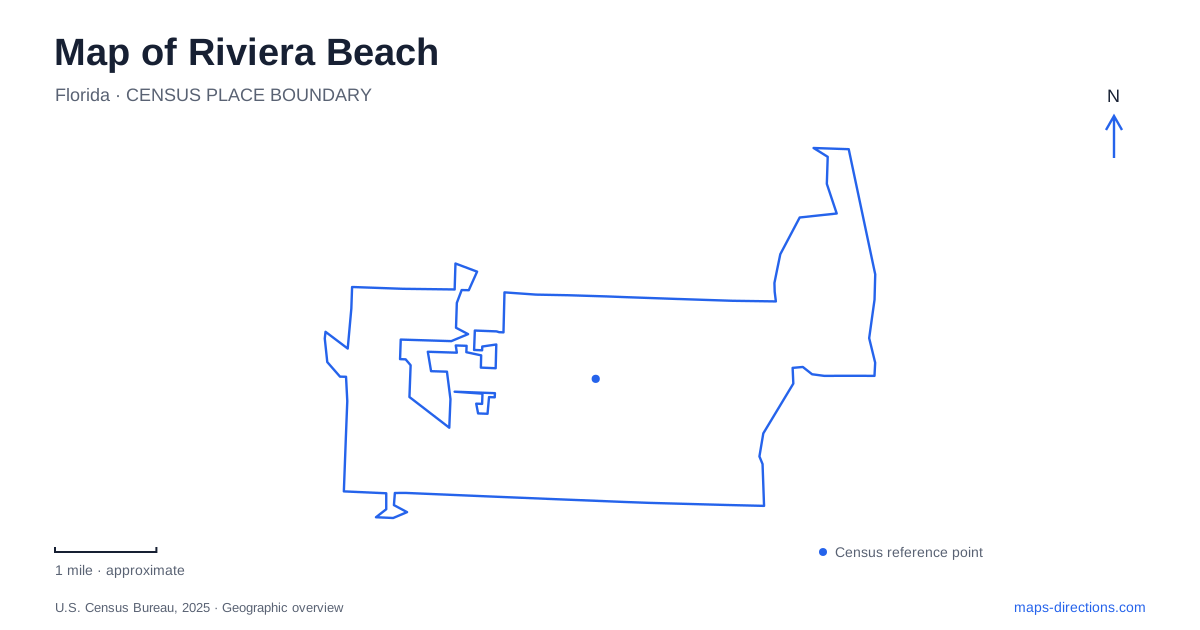
Street tiles load from OpenStreetMap when opened. The blue line shows the 2025 Census boundary.
- State
- Florida
- Population · July 2025
- 39,357
- Land area
- 8.3 sq mi
- Water area
- 1.4 sq mi
Riviera Beach has several waterfronts rather than a single interchangeable beach district. The Atlantic shore faces open ocean, Lake Worth Lagoon supports sheltered-water recreation and wildlife, and the port serves commercial shipping. Blue Heron Boulevard and its bridge provide an important connection toward Singer Island, but the bridge does not connect every island or shoreline destination. A useful map separates road access, water access, and the different purposes of the land beside each body of water.
The port explains the working shoreline
The Port of Palm Beach is located in Riviera Beach despite its regional name. Its establishment dates to 1915, and its relationship with the Florida East Coast Railway has long been important to its operation. The main rail line runs along the port's western side, connecting maritime cargo movement with an inland transport network.
This working waterfront is different from the public parks visible nearby. A ship, terminal, or industrial parcel on a map represents an operational facility rather than an invitation to explore the shoreline on foot. The port's close proximity to recreation is part of the area's distinctive geography: shipping channels, marinas, parks, and residential waterfronts occupy neighboring spaces while serving very different users. The inlet provides a connection to the ocean, but its navigational purpose should not be confused with the swimming areas elsewhere along the lagoon.
Phil Foster Park has an underwater landscape
Phil Foster Memorial Park lies beside the Blue Heron Bridge. Its snorkel trail is constructed from limestone boulders and prefabricated reef modules spread across a shallow underwater area. The county describes water depths of roughly six to ten feet, with the artificial structures providing habitat and features for underwater exploration.
For Riviera Beach, this is a recreation landscape that a land-only map largely misses. The park's beach, guarded swimming area, boat ramps, and diving zones have separate functions. County information identifies motorized boat launching on the east side and a designated nonmotorized launching area at the southwest beach. Those are specific access arrangements, not permission to launch from any convenient strip of sand.
The county's dive map also marks navigation channels, vessel-exclusion areas, and strong-current warnings. This detail matters more than the apparent short distance between a beach and an underwater feature. A visitor map locates the activity; it does not establish suitable water conditions or diving ability.
Peanut Island cannot be reached by its mailing address
Peanut Island is an offshore park near the inlet, reached by water rather than a road bridge. The county explicitly warns that its mailing address is not for driving directions. Independent water-taxi services provide one way to reach it, while boating visitors have their own arrangements.
The island began in 1918 with material excavated during inlet construction. Continued dredging enlarged it, and the public park occupies its perimeter under agreements with the port authority and Florida Inland Navigation District. Its name comes from a proposed peanut-oil shipping terminal that was abandoned, not from an established agricultural use of the park.
Camping is limited to tents and requires reservations. The John F. Kennedy bunker is a historical feature with access arrangements separate from the island's recreation areas; check those arrangements before planning an interior visit. These distinctions keep the destination's history separate from its available activities. A day at the island involves both a park visit and a water crossing, each requiring its own plan.
The ocean side offers a different setting
Ocean Reef Park, at 3860 North Ocean Drive, provides an Atlantic beach destination on Singer Island. Palm Beach County lists guarded beach frontage, a dune overlook, picnic space, a playground, showers, and restrooms. It also provides beach-access equipment, including a mat and a surf wheelchair arranged through lifeguards.
This setting differs from the lagoon around Phil Foster Park. The dune system and open-ocean frontage create a different physical environment from an underwater trail beside a bridge. For Riviera Beach visitors, choosing the ocean beach or lagoon is therefore a choice between landscapes, not simply between two parking areas beside the same water.
Wildlife viewing follows temperature and habitat
Nearby Manatee Lagoon, at 6000 North Flagler Drive in West Palm Beach, interprets the animals and the surrounding lagoon. Manatees gather near warm-water outflows from FPL's adjacent energy center, especially during cold weather. The operator emphasizes that sightings are unpredictable; the educational center remains a destination even when animals are not visible.
Its address is separate from the municipal beach, port, and island transport points. The broader map of Riviera Beach becomes clearer when these neighboring places retain their individual identities: commercial harbor, lagoon park, offshore island, Atlantic shore, and wildlife education center. Their proximity creates a varied waterfront, while their distinct access arrangements determine how each can actually be experienced.
Map and statistics: U.S. Census Bureau, 2025 Gazetteer, January 2025 generalized place boundaries and Vintage 2025 population estimates. Local references: Port of Palm Beach; Palm Beach County Parks; FPL Manatee Lagoon. Article prepared by Maps & Directions.