Map of Riverton
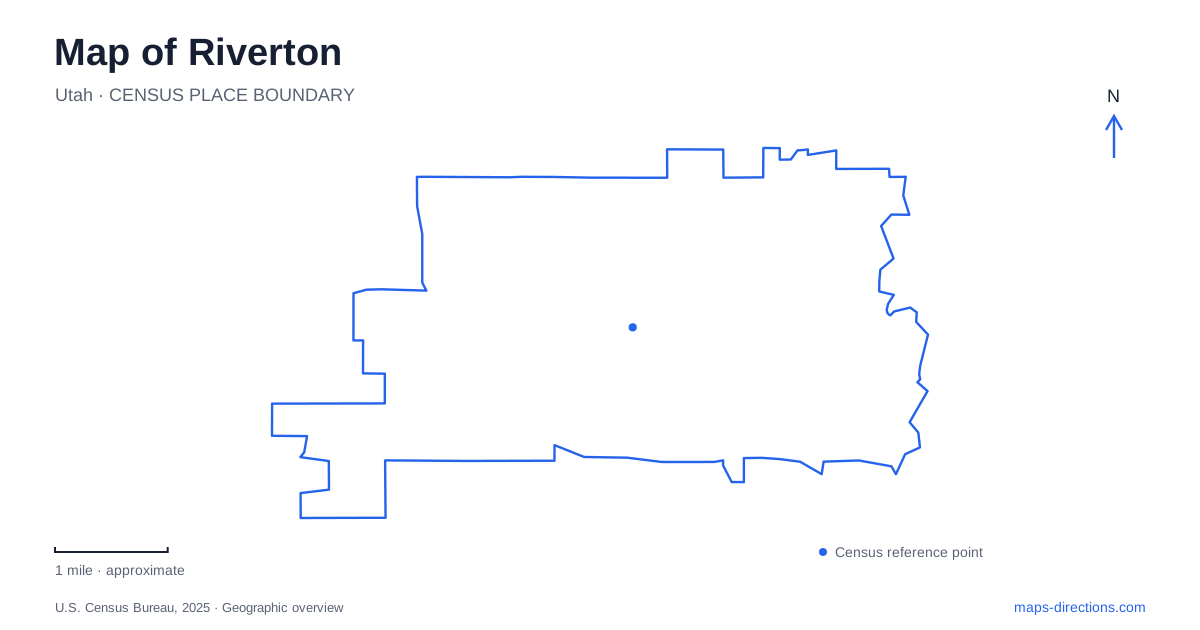
Street tiles load from OpenStreetMap when opened. The blue line shows the 2025 Census boundary.
- State
- Utah
- Population · July 2025
- 47,395
- Land area
- 12.6 sq mi
- Water area
- 0.0 sq mi
Riverton's numbered addresses carry important geographic information, especially around the civic and park destinations near 12600 South. A small transcription error can send a visitor to the wrong street even when the place name is correct. The Jordan River corridor adds another layer, with parks, wetlands and recreation facilities that use their own access points. Begin by deciding whether the destination is a civic building, the main park or a particular riverside facility.
Read the complete numbered address
The Old Dome Meeting Hall is listed by the Utah Division of Arts and Museums at 1452 West 12600 South. Both numbers matter. The first identifies a position along the street, while the second belongs to the street name. Keep the west and south indicators when saving or sharing the address, and avoid swapping the numbers into an unfamiliar order.
This is a useful discipline for a Riverton map because several nearby destinations use similarly structured addresses. An address on 12600 South is not interchangeable with one on 12800 South. Instead of relying on a rough central pin, compare the full venue address with the street labels around it. For a scheduled activity at the hall, retain the hall name as well as the numbered address so the intended building remains clear.
Main park and City Hall Park are separate labels
The city's Town Days program identifies the main city park at 1452 West 12600 South and separately identifies activities at City Hall Park, behind City Hall. Its event map also distinguishes public parking from areas without vehicle access. This is useful evidence that a festival's overall location may contain several activity zones and different arrival arrangements.
Do not transfer an old festival parking plan to every future visit. Use it to understand the distinction among the park grounds, civic property and individual activity areas, then check the notice for the actual event. A carnival, a stage program and a building-based activity can require different meeting points even when they appear in one town celebration. Keeping the specific activity name avoids asking companions to find each other somewhere within a large event area.
The river setting starts with named access
Dr. O. Roi Hardy Park is listed by the Jordan River Commission at 12400 River Vista Drive. Its facilities include parking, a playground, a pavilion and restrooms. That provides a named destination for a Riverton river outing rather than an instruction to approach the water from whichever road looks closest on the overview.
The commission's regional material places wetlands and walking opportunities in this setting. A map can help identify the relationship between the park and the river corridor, but the wetland areas should not be read as ordinary open lawns or shortcuts. Stay with the designated visitor routes and inspect the actual connection you intend to follow. The river's visible line is a geographic reference, not a continuous permission to travel directly along either bank.
Riverbend has a different arrival address
Riverbend Golf Course is listed in the commission's river guide at 1040 West 12800 South. The same guide describes its relationship to the Jordan River and surrounding riparian landscape. A golf-course label and a nearby park label can therefore appear close together while representing different activities and access arrangements.
For a Riverton itinerary, save the golf destination separately from Roi Hardy Park or the meeting hall. Do not assume that crossing a golf property provides a public connection between recreational routes simply because open land appears continuous on a map. Use the operator's designated arrival and the published public trail network for their respective purposes. This preserves a practical distinction between an activity facility and a route through the wider corridor.
Regional river maps show more than one city
The Jordan River Commission's maps include nearby communities, trails, wetlands, golf courses and infrastructure. That broader context is useful when an outing extends beyond a single park. It also requires attention to the legend: a municipal boundary, drainage channel, trail and river can be represented by different lines that are easy to confuse on a small screen.
A map of Riverton is most useful when you retain one city-scale view and one close view of the chosen entrance. The larger view explains the relationship between 12600 South, the civic destinations and the river corridor. The close view resolves the building, parking area or designated path needed for the visit. Keep the complete numbered address attached to each saved point so that similar street names and nearby recreation labels do not erase the distinctions that make the route usable.
Map and statistics: U.S. Census Bureau, 2025 Gazetteer, January 2025 generalized place boundaries and Vintage 2025 population estimates. Local references: Utah Division of Arts and Museums; Riverton City; Jordan River Commission. Article prepared by Maps & Directions.