Map of Riverside
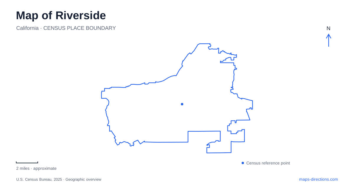
Street tiles load from OpenStreetMap when opened. The blue line shows the 2025 Census boundary.
- State
- California
- Population · July 2025
- 323,057
- Land area
- 81.1 sq mi
- Water area
- 0.3 sq mi
Riverside's most revealing landmarks connect architecture with cultivated and natural landscapes. The Mission Inn and Main Street anchor downtown, Mount Rubidoux rises immediately to its west, and citrus groves preserve an agricultural setting farther from the center. University gardens add a scientific interpretation of plants and climate. Together, these places show how a city associated with citrus developed public spaces, institutions, and a distinctive architectural identity rather than simply replacing its agricultural past with urban streets.
Main Street and the hotel that grew in stages
The downtown pedestrian mall brings shops, restaurants, museums, fountains, and sculptures into a walkable section of Main Street. The Mission Inn supplies a particularly recognizable landmark nearby. Its origins lie in a modest boarding house developed by the Miller family, but its present form resulted from successive expansions rather than one unified construction campaign.
Frank Miller opened the first wing of the current building in 1903, working with architect Arthur Benton and financing from Henry Huntington. Later wings reflected architectural fashions and Miller's travels. This history helps explain the building's varied appearance: its courts, towers, and decorative details belong to a hotel assembled over time, not to an original Spanish mission.
The relationship between Main Street and Mission Inn Avenue provides a compact framework for the historic center of Riverside. Within that framework, the pedestrian spaces allow architecture and public art to become part of an ordinary walk between cultural destinations. The setting rewards attention to the buildings themselves as well as the institutions occupying them.
University culture extends into downtown
The California Museum of Photography and Barbara and Art Culver Center of the Arts occupy adjacent historic buildings at 3824 and 3834 Main Street. Their programs address photography, film, contemporary art, and performance. Together they form a downtown cultural presence affiliated with the university.
This arrangement creates a useful geographical distinction. The arts buildings belong to the university but stand away from its main campus, on the pedestrian-protected downtown street. A visit to a film screening or exhibition therefore uses the Main Street setting, while a campus visit follows a different destination. The shared institutional name can obscure that separation on a broad regional map, but the two street numbers make the downtown location precise.
A prominent hill west of the center
Mount Rubidoux occupies 161 acres just west of downtown. Its network includes approximately three and a half miles of paved roads as well as dirt trails. The roads are closed to ordinary vehicle traffic, giving walkers, runners, and cyclists access to a hill whose outline is part of the city's familiar landscape.
Historic markers and memorials punctuate the ascent, including the summit cross dedicated to Father Junípero Serra. The city directs visitors toward parking at adjacent Ryan Bonaminio Park. The paved surfaces should be read as routes climbing a hill rather than level park promenades. Their bends respond to the terrain, and the elevated position offers a way to understand Riverside's built area from above.
Fairmount Park supplies a contrasting public landscape, with Lake Evans and Fairmount Lake rather than a summit as its organizing features. The Olmsted Brothers prepared a park plan in 1911, incorporating earlier improvements into a broader open-space vision. The lakeside setting and the hill demonstrate two different approaches to public recreation within the area around downtown.
Citrus remains visible in the cultivated landscape
California Citrus State Historic Park stands at 9400 Dufferin Avenue in the Arlington Heights area, east of the 91 Freeway. Its groves, exhibits, and historic interpretation explain an industry that shaped the region's economy and public image. The park functions as an open-air museum, using living trees and an agricultural setting to communicate a history that would be difficult to convey through photographs alone.
The groves make the connection between land, irrigation, labor, and agricultural commerce more tangible. They also provide a different scale of experience from downtown's concentrated blocks. A map of Riverside that includes the park connects its architectural landmarks with the productive landscape behind much of its historical prosperity. The Dufferin Avenue visitor address is distinct from the park office's mailing address on Jackson Street, a practical detail when setting a route.
Plant collections shaped by terrain
The UCR Botanic Gardens occupy 40 acres and contain more than 3,500 plant species. Collections emphasize plants adapted to Mediterranean climates and arid regions, while varied elevations create different growing conditions within the grounds. More than four miles of trails extend through the gardens, compared with a perimeter road of approximately one and a half miles.
Alder Canyon contains California riparian trees, while other areas preserve native coastal sage scrub and annual grassland. About a third of the site remains unplanted. That mixture distinguishes the gardens from a uniformly landscaped park: curated collections coexist with local plant communities and terrain. Alongside the citrus groves, lakes, hill, and downtown cultural buildings, the gardens complete a map of Riverside in which environmental conditions and human design remain closely connected.
Map and statistics: U.S. Census Bureau, 2025 Gazetteer, January 2025 generalized place boundaries and Vintage 2025 population estimates. Local references: City of Riverside; Mission Inn Foundation; University of California Riverside; California State Parks. Article prepared by Maps & Directions.