Map of Richmond
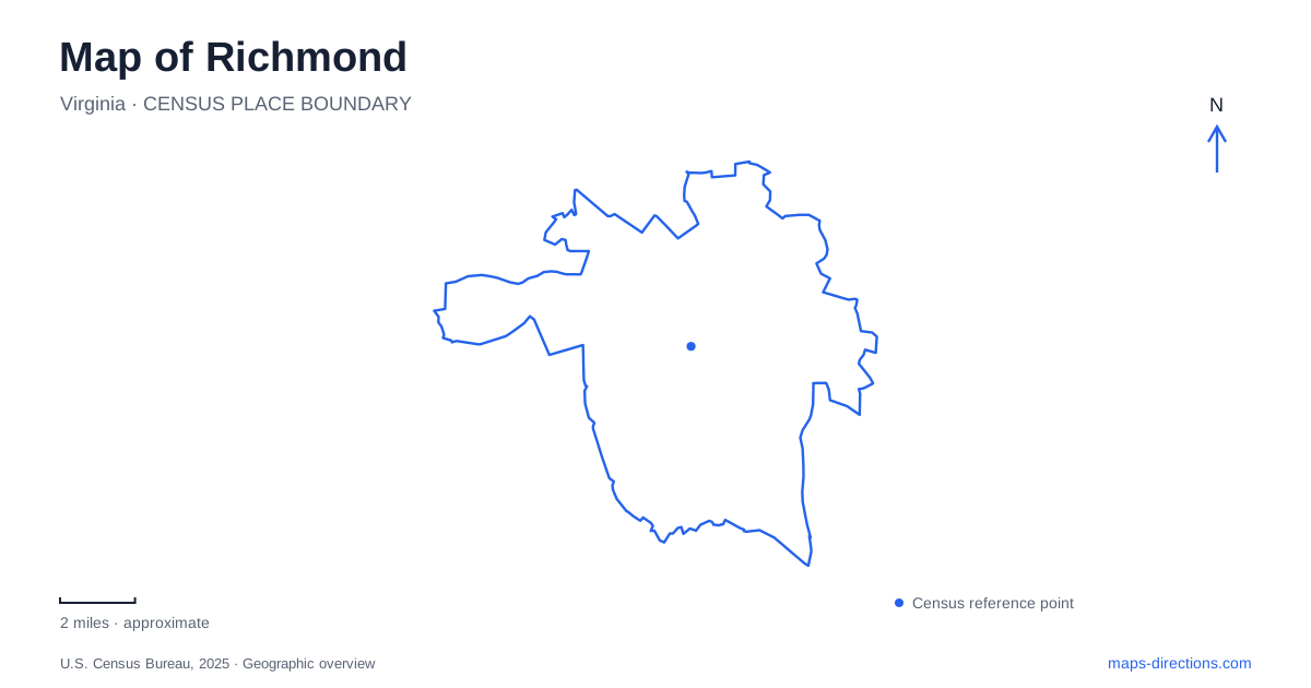
Street tiles load from OpenStreetMap when opened. The blue line shows the 2025 Census boundary.
- State
- Virginia
- Population · July 2025
- 237,257
- Land area
- 59.9 sq mi
- Water area
- 2.6 sq mi
Richmond's central geography is inseparable from the James River. Islands, rapids, canals, rail corridors and hills create a layered waterfront where a straight line on a street map rarely tells the whole story. The river supported industry, divided neighborhoods and now connects major public spaces through pedestrian crossings. Downtown's north-bank landmarks, Manchester on the south bank and the higher ground around Church Hill each offer a different way to understand that landscape.
Canals beside the city streets
The Canal Walk runs for 1.25 miles along the James River and Kanawha and Haxall canals. Access points occur at nearly every block between 5th and 17th streets, allowing shorter visits from several downtown locations. Public art and historical interpretation turn the route into more than a passage beside water.
The canals occupy a different level and alignment from many nearby streets. A map is useful for seeing where a street reaches the walkway and where buildings or infrastructure intervene. The frequent access points make it possible to combine a canal segment with the surrounding blocks instead of committing to the entire route. In central Richmond, the relationship between the numbered streets and these waterside connections is one of the most practical details to understand before setting out on foot.
Tredegar and the working river
Tredegar Iron Works began in 1837 beside the river and canal system. Railroads and canal boats supplied raw materials, and the complex grew into a major producer of iron and artillery. Enslaved labor became part of its workforce in 1847, a central fact in understanding how the industrial landscape operated.
The surviving site gives physical form to the relationship between transportation, water power and manufacturing. The canal marked the complex's northern edge, while the James lay to the south. That narrow position between water systems explains why several transport and industrial functions were concentrated here. The riverfront's present recreational appearance should not obscure the labor and production that once shaped its buildings and channels.
Tredegar's history also explains part of Richmond's importance during the Civil War. The works produced cannon and armor plate for the Confederacy, making industrial capacity one reason the capital's defense mattered. Reading the site within the wider riverfront, rather than as an isolated museum address, connects that history to the routes that supplied it.
Island paths and two distinctive crossings
Belle Isle lies upriver of the downtown core. A pedestrian suspension bridge beneath the road bridge provides an approach from the north bank. The island's paths and open river setting create a marked change from the surrounding streets, even though the urban skyline remains nearby. Its separated crossing is part of what allows an island landscape to function as a public park within the city.
Farther along the river, the T. Tyler Potterfield Memorial Bridge connects Brown's Island with Manchester. Opened in 2016, it rests on remnants of a former hydroelectric dam and carries walkers, cyclists and wheelchair users. The approximately 1,600-foot span places visitors above the river's moving water and surviving dam features.
The south-bank approach reaches toward Semmes Avenue and passes above railroad tracks near the Manchester climbing wall. That sequence illustrates the vertical layers of Richmond's riverfront: river, former industrial structures, rail lines and pedestrian paths share the same corridor at different heights. A crossing that looks simple on a broad map becomes a series of ramps, bridges and connecting paths at ground level.
Libby Hill and the downstream bend
Libby Hill is a spur of Church Hill overlooking a bend in the James. The city's riverfront plan connects the view with William Byrd's naming of the settlement in 1733, recalling a similar river scene in England. The park's high position provides a wider geographic view than the close river-level paths.
Below, the Rocketts waterfront developed into an important nineteenth-century shipping area. Wharves handled incoming goods and exports including flour, tobacco, coal and iron products. Gillies Creek enters the James farther down this waterfront, while its valley helps organize the eastern landscape. From the hill, those relationships are easier to grasp as a connected port setting rather than a series of separate modern neighborhoods.
A park system with changing connections
The James River Park System extends along both banks from Huguenot Flatwater to Ancarrow's Landing. It includes many distinct access areas rather than one universal riverfront entrance. For Richmond visitors, choosing a park segment determines whether the outing focuses on island paths, a cross-river walk or a quieter stretch farther from downtown.
Texas Beach's pedestrian bridge, the Pipeline area and the island crossings are distinct parts of the riverfront network. Repairs to a bridge or sewer infrastructure can affect one without describing the condition of all the others. Use the city's access guidance for the named crossing rather than assuming every route in an older photograph is usable. Designated park approaches are the appropriate basis for a waterfront plan; a historic riverside connection is not automatically a continuous public route.
Map and statistics: U.S. Census Bureau, 2025 Gazetteer, January 2025 generalized place boundaries and Vintage 2025 population estimates. Local references: Venture Richmond; National Park Service; City of Richmond; Friends of James River Park. Article prepared by Maps & Directions.