Map of Richland
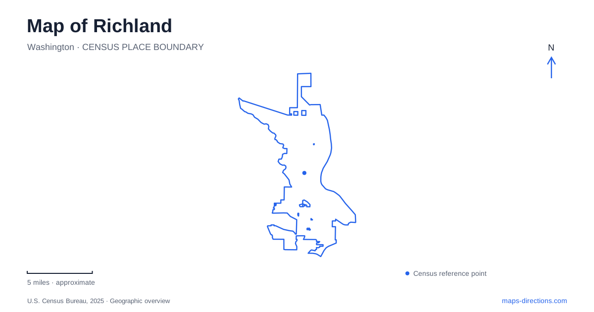
Street tiles load from OpenStreetMap when opened. The blue line shows the 2025 Census boundary.
- State
- Washington
- Population · July 2025
- 65,258
- Land area
- 42.5 sq mi
- Water area
- 3.4 sq mi
Richland's map records a small agricultural community transformed by a wartime industrial project, but that transformation is only one part of its history. A riverfront park predates the Manhattan Project, standardized houses reveal the urgency of wartime construction, and a museum connects human events with much older geological processes. Beyond the built area, a protected mountain ridge represents a later community decision about the landscape's future.
Alphabet houses reveal a planned wartime town
Construction of the Alphabet houses began in 1943 to accommodate workers and families supporting the Hanford project. Architect Gustav Albin Pehrson developed standardized designs identified by letters. The name therefore refers to floor-plan types, rather than streets arranged in alphabetical order.
Some designs were duplexes, including the A and B types. A building that appears to be one large house can consequently represent two original households. That distinction is useful when comparing historic plans with the present streetscape, especially where later alterations have changed windows, entrances or exterior finishes.
These neighborhoods make Richland's wartime expansion visible at the domestic scale. The industrial facilities required a large workforce, and that workforce required housing, services and everyday community spaces. The surviving houses are occupied parts of a living city, not a collection of museum interiors. Their repetition reflects a particular construction strategy and historical demand.
Howard Amon Park began before the wartime expansion
Howard Amon deeded the riverfront park land to the city in 1911. His earlier work included platting land and developing irrigation to attract agricultural settlement. The park therefore belongs to the prewar town as well as the community that developed during the Manhattan Project.
During the 1920s, improvements included a pool, bathhouse and bandstand. The name changed to Riverside Park in 1943, then returned to honoring Amon in 1968. Historical references using the two names can describe the same property at different times.
On a map, the park provides a Columbia River setting for understanding Richland beyond its industrial identity. It served local recreation before the wartime workforce arrived and continued to provide shared community space afterward. The riverbank's public role spans those changes rather than beginning with them.
The REACH Museum connects several scales of history
The REACH Museum stands at 1943 Columbia Park Trail and interprets the wider Mid-Columbia region. Its galleries address the Ice Age floods, regional ecology, agriculture and the Manhattan Project. The museum's name refers to the Hanford Reach of the Columbia River, rather than implying that the building occupies every historic site discussed inside it.
This range of subjects makes the museum useful for reading the landscape in layers. Geological processes shaped the basin; Indigenous communities and later agricultural settlement used its resources; and twentieth-century federal projects changed both land use and population. Exhibits can bring these periods together even where their physical evidence lies far apart.
A museum visit and a visit to a federal historic property are consequently different activities. The interpretive center provides regional context, while the reactor and former townsites have their own locations and access arrangements. The shared historical subject does not make them one continuous visitor campus.
Hanford's historic sites have controlled access
The Hanford story includes the displacement of Indigenous communities and residents of agricultural settlements when the federal project took over the area. Department of Energy tours of pre-Manhattan Project sites interpret those communities and the landscape that preceded the industrial complex.
The prewar historic-sites program is separate from the B Reactor tour. Building work, tour arrangements and entry requirements must be checked through the Department of Energy's visitor information for the particular program. An older projected restart date is not an operating schedule, and a reservation for one part of the historic area should not be treated as permission to enter the reactor building.
For Richland, this distinction prevents a common mapping error: a nearby historic landmark is not necessarily a place reached by simply following ordinary driving directions to its pin. The city, the interpretive museum and the secured federal site belong to a related history while retaining different boundaries and visitor arrangements.
Badger Mountain preserves a ridge above the city
Badger Mountain Centennial Preserve was created in 2005 following a community fundraising campaign. It is a Benton County park managed with Friends of Badger Mountain and assistance from the city. Its centennial name refers to the county's hundredth anniversary.
The preserve adds a different perspective to Richland's landscape. While the riverfront and historic neighborhoods show settlement and construction, the ridge reflects a deliberate choice to retain open land and nonmotorized trails. The Skyline, Sagebrush and Langdon trails meet within a system shaped by ridgelines and slopes rather than an urban street grid.
These locations reveal several distinct forms of planning: irrigation and an early public park, standardized wartime housing, interpretation of a complex federal legacy, and community protection of a mountain. Reading them together gives the map depth without reducing the city to a single era or treating every historically connected destination as the same place.
Map and statistics: U.S. Census Bureau, 2025 Gazetteer, January 2025 generalized place boundaries and Vintage 2025 population estimates. Local references: City of Richland; National Park Service; REACH Museum; US Department of Energy; Friends of Badger Mountain; Benton County. Article prepared by Maps & Directions.