Map of Rhode Island
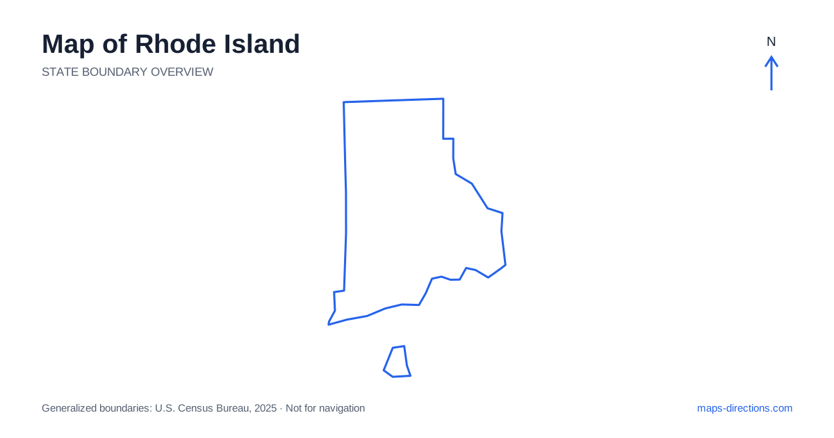
Rhode Island is small in area, but Narragansett Bay gives its road map a complexity that the size alone does not reveal. Providence sits at the bay's northern end, while Newport occupies an island setting farther south. Coastal towns, inland communities and separate shores surround the water. A short straight-line distance can therefore involve a bridge or a longer route around an inlet. Begin by identifying the correct side of the bay and the exact town, rather than assuming every destination is a simple local drive from the capital.
Read the state name separately from its islands
A map of Rhode Island includes a mainland area, islands within the bay and an offshore island in the Atlantic. The state is not one single island connected to the rest of New England by a single bridge. This basic distinction helps make sense of Providence, Newport and the southern coastal towns as parts of one state with different geographical settings.
Connecticut lies to the west and Massachusetts borders the north and east. The surrounding regional roads can be important even for a journey between nearby local destinations. Keep the neighboring area visible when selecting an approach instead of cropping the map tightly to the state line. Political boundaries and practical road connections do not always align with the simplest-looking route across the small outline.
Place Providence and the northern cities accurately
Providence is the capital and the main urban reference point at the head of Narragansett Bay. Pawtucket lies to the north, while Cranston and Warwick occupy other parts of the wider metropolitan area. These communities have distinct centers and arrival districts, so an airport stay and a downtown visit are not the same local map task.
Interstate 95 supplies a major regional route through the urban corridor, while Interstate 195 connects the Providence area eastward. Rivers, interchanges and local streets determine the final approach to a venue or neighborhood. Use the actual address rather than a broad metropolitan pin. If the next stage heads toward Newport or the southern coast, consider that direction when choosing an overnight base instead of assuming the city center is automatically the most convenient location.
Let the bay determine the crossing
Narragansett Bay is the central organizing feature of Rhode Island's coastal geography. Its branches, islands and river mouths divide the land into separate approaches. A destination across the bay may appear nearby on the outline without having a direct road connection at the closest point. The appropriate bridge or route around the water needs to be identified first.
This is especially useful when comparing a west-shore destination with one on an island or eastern shore. A short waterfront distance should not be substituted for the actual driving route. Trace the complete connection, including the road leading away from the shore toward the crossing and the approach back to the destination. That makes the local journey legible instead of leaving the bay as an unexplained gap between two pins.
Understand Newport's island setting
Newport lies on Aquidneck Island, which also includes Middletown and Portsmouth. These communities occupy different parts of the island and have distinct road relationships. A Newport-area address may be outside the compact historic center, so a detailed local view is useful before deciding how a day of visits will be organized.
Routes onto and off the island use particular connections, and the approach depends on the previous stop. A bridge arrival from the west is a different journey from an approach through the northern side. Mark the intended parking area or venue entrance rather than the center of an attraction's grounds. Within a small island landscape, narrow local streets and the position of waterfront destinations can matter more than the apparent distance between labels.
Separate the southern shore from offshore travel
Southern Rhode Island includes Narragansett, South Kingstown and Westerly, along with beaches and smaller coastal communities. These places form a mainland coastal region rather than an extension of Newport's island street network. A stay near one beach does not necessarily give the same approach to every other shore destination, particularly where ponds, inlets and local roads divide the coast.
Block Island lies offshore and requires a separate transport connection. It should not be included in a driving route as though a bridge continued from the mainland. Identify the actual departure point and the arrangements for travel after arrival. The island segment belongs in the itinerary alongside road travel, with its own timing, rather than being hidden inside a general beach-day description.
Use the small scale without ignoring the water
A Providence-area visit, a Newport stay, an inland excursion and a southern-shore trip each provide a clear local focus. Combining them can be straightforward when the correct crossings are included, but the small state size does not remove the need to sequence the stops. Choose the main base according to the side of the bay and the destinations actually being visited.
For a Rhode Island itinerary, keep the specific town, shore and arrival entrance attached to every stop. Use the statewide outline to understand the bay and island relationships, then a street-level view for the final approach. This preserves the advantage of a compact region while respecting the water barriers and separate road networks that make its map more intricate than its size suggests.