Map of Rexburg
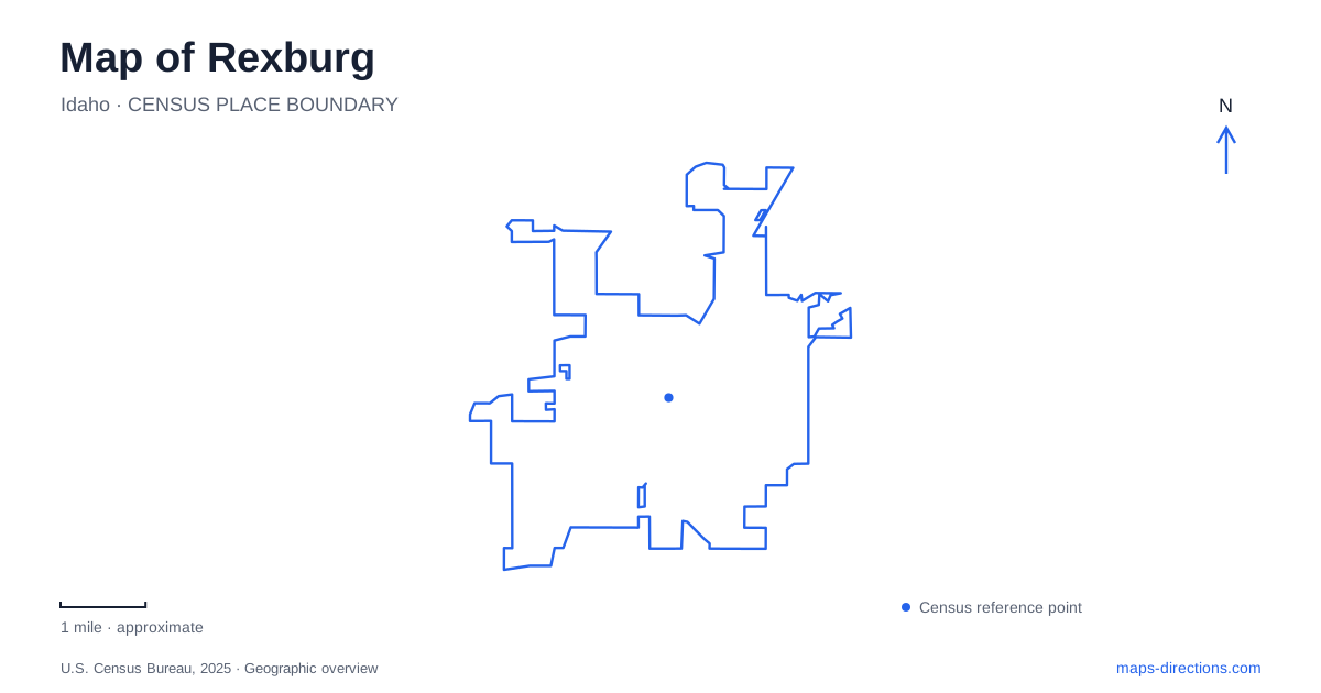
Street tiles load from OpenStreetMap when opened. The blue line shows the 2025 Census boundary.
- State
- Idaho
- Population · July 2025
- 40,334
- Land area
- 10.4 sq mi
- Water area
- 0.1 sq mi
Rexburg's numbered streets provide a useful framework for a community whose landmarks include a university campus, established neighborhood parks, and a river recreation corridor. South Center Street leads into the educational landscape, while addresses such as West Second North and Fifth West locate parks in other parts of the grid. The town's history also includes the devastating 1976 Teton Dam flood, interpreted by a museum whose present location differs from its long-standing former home.
From an academy to a university landscape
BYU-Idaho traces its beginnings to Bannock Stake Academy, established in 1888 in a log schoolhouse. The institution later became Ricks Academy and then Ricks College. A transition to a four-year university was announced in 2000, continuing a long process of expansion and changes in educational purpose.
The university gives its main address as 525 South Center Street. This provides a useful anchor for understanding the campus within Rexburg's street grid, while the institution's older names explain why references to Ricks remain prominent. The names belong to successive periods of the same educational history rather than to unrelated colleges in different locations.
The Thomas E. Ricks Horticultural Gardens provide a particularly distinctive part of that landscape. Conceived in 1977, the ten-acre garden developed through the applied plant-science program. Students design, construct, and maintain its spaces as part of practical horticultural education.
Hills, ponds, orchard planting, and themed structures divide the garden into smaller settings. This is more than ornamental landscaping around classroom buildings: it is itself a teaching environment. Its changing spaces make the university's educational activity visible outdoors, where cultivated plants and built features form a working display garden used by students and the wider community.
Porter Park within the numbered streets
Porter Park occupies the blocks between Second West and Third West, and First South and Second South. Its four street edges make its footprint easy to identify within the surrounding grid. The city describes it as its oldest municipal park and a gathering place for both the university and the community.
The Idaho Centennial Carousel, splash pad, and Beehive Pavilion give the park several recognizable focal points. Open lawns, trees, walking paths, playing courts, and picnic shelters supply the broader setting around those attractions. The pavilion is an outdoor performance stage with lawn space for an audience, so it serves a different function from an ordinary picnic shelter.
For a map of Rexburg, Porter Park helps connect the street grid with a familiar public gathering area. Its central location and street parking around the perimeter contrast with parks reached through a single access road or a larger recreation complex.
Riverside and the Teton corridor
Riverside Park occupies the middle position in the city's Teton River Corridor Park and Trail System. It is reached from West Second North between North First West and Center Street, with the city listing 50 West Second North as its location.
The park combines playing fields, walking trails, a BMX dirt course, community gardens, and the municipal waterpark. These uses explain why one park name can appear in information for sports, gardening, cycling, and summer recreation. The community gardens consist of rented plots, with crops belonging to the individual growers rather than forming a public picking garden.
This concentration of activities gives the corridor a different role from the university gardens. Both include cultivated spaces, but one supports community plots within a recreation park while the other forms part of horticultural instruction. Their placement on the map reflects different institutions and purposes.
Nature Park's working-water origins
Nature Park developed from unused municipal land containing settling ponds that served the stormwater system. Its canal and pond landscape now accompanies walking paths, disc golf, pickleball courts, a dog park, and the Claire Boyle Skate Park.
The city identifies the location as Fifth West and Third North and directs visitors along Fifth West past the municipal shop buildings. That approach helps explain the site's origins: recreation developed alongside land previously associated with practical city operations. The ponds remain an important part of its identity, giving this park a different character from Porter's open lawns or Riverside's playing fields.
Reading the flood story at the current museum
The Museum of Rexburg was established in the Tabernacle basement in 1981 after the building had suffered serious damage from the June 5, 1976 Teton Dam collapse. Its collections interpret local history and the flood's effects on the surrounding region.
During further Tabernacle renovations, the museum moved to City Hall at 35 North First East. The city's current museum page identifies that address, an important correction to older listings. Together, the museum, university gardens, numbered-street parks, and Teton corridor show Rexburg as a place shaped by education, public recreation, water infrastructure, and recovery from a defining disaster.
Map and statistics: U.S. Census Bureau, 2025 Gazetteer, January 2025 generalized place boundaries and Vintage 2025 population estimates. Local references: BYU-Idaho; City of Rexburg. Article prepared by Maps & Directions.