Map of Revere
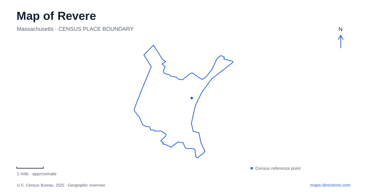
Street tiles load from OpenStreetMap when opened. The blue line shows the 2025 Census boundary.
- State
- Massachusetts
- Population · July 2025
- 60,141
- Land area
- 5.7 sq mi
- Water area
- 4.4 sq mi
Revere has several distinct geographic centers: the long oceanfront, the Broadway civic and commercial corridor, and the neighborhoods arranged around Blue Line stations. The beach is its best-known landmark, but it is not a substitute for the whole city. Shirley Avenue links an inland road junction with the shore, while Beachmont brings a separate relationship with Belle Isle Marsh. These connections explain why a useful local map needs both streets and coastal landscapes.
The boulevard follows the beach
Revere Beach Reservation is a long public shoreline with a boulevard running beside it. The state identifies it as the first public beach established in the United States. Its geography is linear: visitors move along the shore rather than toward a single central point that represents the entire reservation.
Eliot Circle provides one recognizable reference at the southern part of the main beach setting, while the Markey Footbridge and clock area identify the Wonderland-side waterfront. State park programs use these features as meeting places, showing how individual landmarks divide the broader shoreline into understandable sections. The beach name supplies the general destination; the circle, bridge, or clock provides the local detail.
Ocean Avenue is another important line in the waterfront district. It appears beside the boulevard in the state's beach information, but the two names describe different streets. Keeping both visible prevents the shoreline from being compressed into a single road. The physical relationship among sand, promenade, boulevard, and inland streets is the defining feature of this part of the map.
Blue Line stops belong to different districts
The city is served by three Blue Line stations, and their neighborhood settings matter as much as their role in the regional transit system. Wonderland is associated with the Waterfront Square area and the pedestrian bridge connection toward the beach. Beachmont serves another district, while the station near Shirley Avenue gives access to that commercial corridor and the central beachfront setting.
For a map of Revere, the transit line is therefore a useful organizing feature rather than merely an arrival option from Boston. Each station places a traveler within a particular part of the city. A destination described through Wonderland should not automatically be grouped with a Beachmont address simply because both use the Blue Line.
The station names also help separate neighboring urban spaces that can appear close together on a regional map. At local scale, the streets around a platform determine which shops, public spaces, and waterfront approaches belong to its immediate setting. This is where a more detailed map adds genuine context to the simple line-and-stop diagram.
Shirley Avenue connects inland and shore
The city's economic-development description identifies Shirley Avenue as a neighborhood commercial corridor linking Bell Circle with the beach and providing access to the Blue Line station. That gives the avenue a clear geographic role: it is a connection between a major inland junction and the coastal district, not just another street parallel to the shore.
Shirley Avenue also has its own neighborhood identity in the municipal mapping system. Its businesses and residential surroundings form a district with everyday local uses, even when visitors encounter it as a route toward the water. The road should therefore be read both as a connection and as a destination in its own right.
This relationship makes Revere easier to navigate conceptually. The beach boulevard describes movement along the coast, while Shirley Avenue describes movement between the coast and the inland road network. Together they create two different directions of travel through the same urban area, with Bell Circle serving as the inland reference point.
Broadway and the marsh-side neighborhood
Broadway is the city's central civic and commercial artery and forms part of Massachusetts Route 107. City Hall stands at 281 Broadway. This is a different kind of center from the waterfront: public institutions, small businesses, and residences share a street corridor connected with neighboring communities. The civic address makes clear that municipal errands are not necessarily beach-district trips.
Beachmont introduces another coastal setting at the southeastern edge. Its southern neighborhood boundary abuts Belle Isle Marsh, with streets including Pearl Avenue and Summer Street identified in the city's coastal planning. The marsh is a tidal landscape, distinct from the open sandy beachfront. State management information places the broader reservation across Boston, this city, and Winthrop, reinforcing that natural boundaries and municipal lines do not match neatly.
A complete first view of Revere should hold these settings together: the oceanfront boulevard, the station districts, Shirley Avenue's inland connection, Broadway's civic role, and the marsh beside Beachmont. Each explains a different part of local life and gives the map a more useful structure than a single beach marker.
Map and statistics: U.S. Census Bureau, 2025 Gazetteer, January 2025 generalized place boundaries and Vintage 2025 population estimates. Local references: Massachusetts Department of Conservation and Recreation; Massachusetts DCR; City of Revere. Article prepared by Maps & Directions.