Map of Redondo Beach
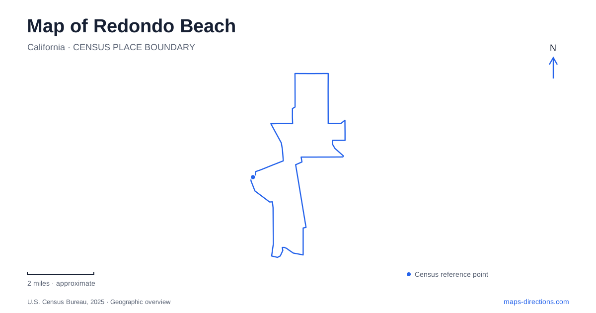
Street tiles load from OpenStreetMap when opened. The blue line shows the 2025 Census boundary.
- State
- California
- Population · July 2025
- 67,281
- Land area
- 6.2 sq mi
- Water area
- 7.1 sq mi
Redondo Beach offers several different coastal settings rather than one continuous visitor district. The pier, open-ocean sand, harbor, and Riviera Village each organize activity differently. Inland, a relocated historical house and a small nature preserve add places that cannot be understood from the shoreline alone. A useful map connects these destinations through the Esplanade, Catalina Avenue, Flagler Lane, and Camino Real, giving the city's cultural and recreational geography more definition.
The pier marks the northern end of the county beach
Los Angeles County describes the beach as extending more than a mile and a half south from the pier toward Torrance Beach. The horseshoe-shaped pier supports fishing, shops, and restaurants, while the sand farther south provides a different, more open setting. The county lists the beach along the 400–1700 blocks of the Esplanade, with stairs, bike-path access, showers, and restrooms among its facilities.
The Esplanade and the sand occupy different levels along parts of this frontage. That makes the beach-access points meaningful features rather than incidental breaks between buildings. The county's Avenue A ramp replacement project illustrates the issue: its purpose is to improve movement between the upper street and the beach. A map of Redondo Beach should therefore preserve the distinction between following the coastal street, walking on the sand, and using the lower bicycle route. They share the ocean view but are not one identical path.
King Harbor contains a managed swimming lagoon
Seaside Lagoon is at 200 Portofino Way within King Harbor. The city describes it as an artificial, tidally influenced saltwater swimming facility with sandy areas, picnic facilities, playgrounds, and restrooms. Constructed in 1962, it has operated as a seasonal public recreation destination for decades. This is a different environment from the open-ocean beach south of the pier.
The distinction is useful for understanding both history and geography. A lagoon designed for public swimming occupies a managed part of the harbor landscape, while the ocean beach is shaped by the exposed coast. The lagoon's rehabilitation planning addresses aging infrastructure, a separate subject from the location of its established swimming facilities. Its established Portofino Way location and seasonal role remain the clearest anchors for understanding this part of Redondo Beach.
Riviera Village has its own street center
The Riviera Village business association directs visitors to 1799 South Catalina Avenue as a reference point for the district. It identifies a location south of King Harbor, with access from Pacific Coast Highway. The triangle parking area between Avenida del Norte and South Elena Street provides another distinctive local landmark.
This arrangement separates the village from the pier's immediate commercial setting. Catalina Avenue and its neighboring blocks organize shopping and dining at street level, while the harbor and pier are centered on waterfront structures. The association also identifies bicycle access from the coastal path and a repair station at Catalina Avenue and Vista del Mar. These details show how a coastal outing can connect with the village without making the village itself part of the pier. The street names give the district a more precise identity than a general reference to restaurants near the beach.
Heritage Court preserves buildings away from their first sites
The historical museum is at 302 Flagler Lane in Heritage Court at Dominguez Park. Its Queen Anne cottage was built on Garnet Street in 1904 and later moved to South Broadway before the city acquired it in 1989 to save it from demolition. The restored, period-furnished Morrell House stands alongside it.
For Redondo Beach, the museum's location tells a preservation story as well as a local-history story. The cottage is a genuine old building, but its present surroundings are not the original Garnet Street setting. Turned porch posts, narrow windows, a steep roof, and decorative shingles express its architectural character, while the move explains how it came to occupy public parkland. Reading the museum as a relocated property avoids confusing the age of the house with the history of the entire site around it.
Camino Real reaches an inland habitat park
Hopkins Wilderness Park is located at 1102 Camino Real, at the northeast corner of Prospect Avenue. Municipal planning material describes an approximately eleven-acre preserve with walking trails, a pond, meadows, wooded areas, and facilities for environmental education. It provides an inland contrast to the sand, harbor structures, and commercial streets along the coast.
Its small scale matters. This is an urban nature setting within the city, not a trailhead into a vast backcountry. The variety of habitats creates opportunities to observe plants and wildlife within a compact property. Taken together, this park, Heritage Court, Riviera Village, the lagoon, and the Esplanade make Redondo Beach legible through distinct environments. The coast remains central, but the city's map also records preservation, public recreation, and neighborhood places beyond the water's edge.
Map and statistics: U.S. Census Bureau, 2025 Gazetteer, January 2025 generalized place boundaries and Vintage 2025 population estimates. Local references: Los Angeles County Beaches and Harbors; City of Redondo Beach; Riviera Village Association. Article prepared by Maps & Directions.