Map of Redmond
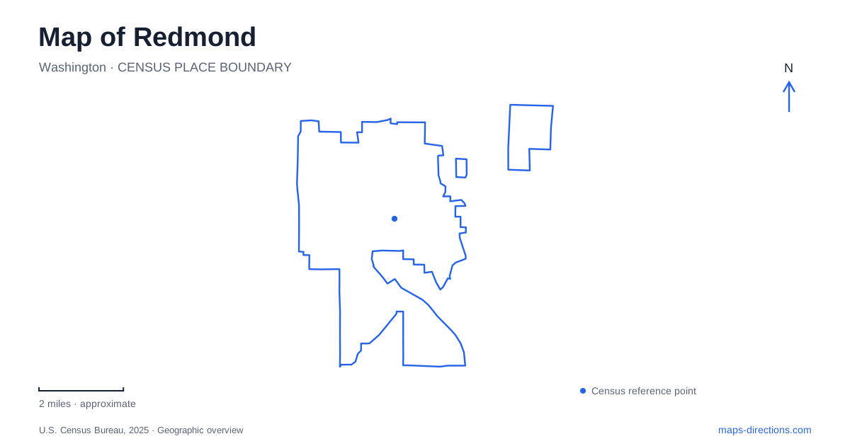
Street tiles load from OpenStreetMap when opened. The blue line shows the 2025 Census boundary.
- State
- Washington
- Population · July 2025
- 82,506
- Land area
- 16.6 sq mi
- Water area
- 0.7 sq mi
Redmond is particularly interesting to map because rail, regional trails and waterways intersect near its downtown and Marymoor area. A journey can change from a train ride to a walk along a former railway corridor, then continue toward a river or lake. Farther from that central network, historic farm grounds preserve another landscape. Understanding the connections between these settings is more useful than viewing every park and station as an isolated destination.
The downtown station sits above a local avenue
Downtown Redmond Station opened with the 2 Line extension in May 2025. Sound Transit describes its elevated platform as straddling 166th Avenue Northeast. This is a helpful structural detail: the station relates to both sides of an existing street rather than occupying a single conventional roadside building.
When planning an arrival, use the avenue and surrounding pedestrian network to understand which direction to continue after leaving the platform. The rail map identifies the stop within the regional system, but the neighborhood map explains the transition to nearby streets, shops and public spaces. The elevated station's position also makes it a visible reference in the downtown landscape.
Marymoor Village Station opened as part of the same extension. Sound Transit places it along State Route 520, just west of State Route 202, and identifies a parking garage there. The two stations therefore have distinct settings: one is elevated within downtown, while the other serves the Marymoor area beside a highway corridor. Their connection by rail does not make their local arrival geography identical.
The Central Connector links more than downtown blocks
The Redmond Central Connector is a regional trail corridor that joins the East Lake Sammamish, Bear Creek and Sammamish River trail systems. The city's account describes the restoration of a trestle crossing over the river and a connection between downtown, Willows Road and the river trail. This makes the corridor an important junction within the wider nonmotorized network.
The restored crossing matters because it explains how a route reaches the other side of the river. A river trail and a trail crossing the river perform different tasks even when their names appear close together. To understand a longer outing, identify which corridor is being followed and where the route changes from one to another.
The city's description also distinguishes completed phases from the larger corridor vision. That is useful when comparing older plans with available trail connections. A planned regional link should not be inferred solely from a line on a conceptual map. The concrete relationships among the trestle, Willows Road and the existing river trail provide a firmer starting point.
Downtown Park is a compact gathering space
Downtown Park is at 16101 Redmond Way. The city describes a two-acre public space with a pavilion, stage, open space and other amenities. It is one block north of the Central Connector at Signals. This gives the park a clear relationship to the regional trail while preserving its separate role as a place to gather.
A route through downtown can therefore include both a linear trail segment and time in a small urban park. The park is not itself the entire regional corridor, and the trail is not merely a path around the park's lawn. Their proximity creates options for combining movement and a stop without confusing their boundaries.
Marymoor Park has both road and station connections
King County lists Marymoor Park at 6046 West Lake Sammamish Parkway Northeast. Its varied facilities include athletic fields, a velodrome, gardens, trails, a rowing boathouse and an off-leash area. This is a large recreation landscape with many internal destinations, unlike the compact downtown gathering space.
The county identifies a Marymoor Station Trail connecting the light-rail station with the north end of the park. It also describes the Bear Creek Trail Bridge linking the nearby East Lake Sammamish Trail with the Central Connector. These are specific connections, each with a different purpose: one carries people from a transit stop toward the park, while the other joins regional trail corridors.
The park's general road address remains useful for orientation, but a rail arrival begins from a different side of the visitor network. Select the intended facility inside the park, then examine the appropriate path from the station or vehicle approach. A velodrome event and a walk near the lake may share a park name while requiring different internal routes.
McKay Creek gives the farm park its historical setting
Farrel-McWhirter Park is associated with the former Hutcheson homestead and the later McWhirter farm. The city's historic account locates the homestead on McKay Creek, a tributary of Bear Creek, and records the property's donation for public park use in 1971. The farm landscape adds a different historical layer from the downtown railway corridor.
Its address, 19545 Northeast Redmond Road, places it away from the downtown station-and-park cluster. The creek relationship helps explain the site beyond that address: it belongs to a tributary landscape with preserved farm buildings and educational use. Taken together, the elevated station, restored river crossing, Marymoor connections and historic farm show how transport infrastructure and waterways organize very different parts of the city.
Map and statistics: U.S. Census Bureau, 2025 Gazetteer, January 2025 generalized place boundaries and Vintage 2025 population estimates. Local references: Sound Transit; City of Redmond; King County. Article prepared by Maps & Directions.