Map of Redlands
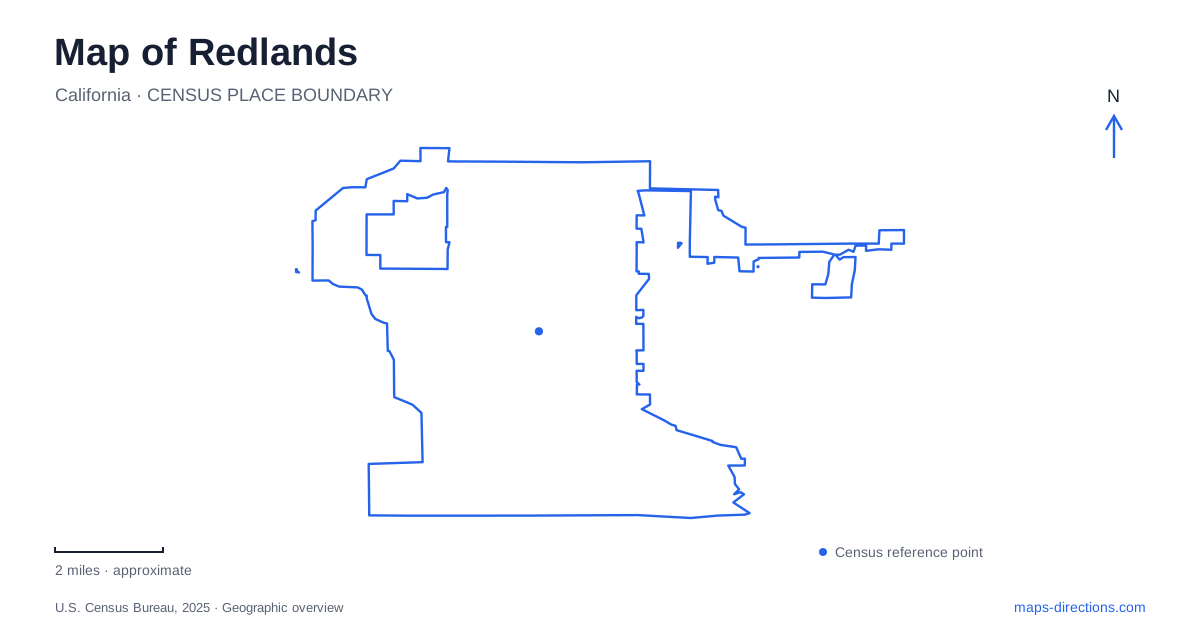
Street tiles load from OpenStreetMap when opened. The blue line shows the 2025 Census boundary.
- State
- California
- Population · July 2025
- 74,128
- Land area
- 36.0 sq mi
- Water area
- 0.3 sq mi
Redlands has several distinct cultural landscapes rather than one continuous collection of downtown attractions. A civic park brings together a library, a presidential memorial, and an outdoor performance venue. Farther into the residential hills, a second park adjoins a Victorian estate. The university and a regional museum add separate destinations with their own settings. These clusters give a map more meaning than a list of scattered landmark symbols: they show how public gardens, education, architecture, and performance occupy different parts of the community.
A cultural group around Smiley Park
Smiley Park occupies 9.2 acres at Eureka Street south of Vine Street, with a listed address of 126 South Eureka Street. Its importance comes from the buildings and gathering places within it. A.K. Smiley Public Library, the Lincoln Memorial Shrine, and the Redlands Bowl belong to this same civic landscape. Visiting the park can therefore involve reading-room architecture, a historical collection, and a performance setting without treating them as unrelated stops across town.
The library moved into its purpose-built home in 1898 after an earlier beginning in the YMCA building. Albert K. Smiley funded the new building, designed by T.R. Griffith with Mission and Moorish Revival influences. Those architectural details help explain why the library deserves attention as a landmark in its own right. Its place in the park also makes the surrounding open space part of the experience of the building, rather than merely leftover land around an institutional address.
Vine Street and the Lincoln collection
At 125 West Vine Street, the Lincoln Memorial Shrine introduces a different historical subject into the park. Robert and Alma Watchorn established it in 1932. Architect Elmer Grey designed the original octagonal building, using reinforced concrete with an Indiana limestone exterior. Later additions expanded the memorial beyond that first compact form.
The shrine's presidential focus distinguishes it from a museum devoted broadly to local settlement. Its position alongside the library creates an unusually concentrated pairing of literary and historical institutions. On a neighborhood-scale map, Vine and Eureka provide useful street references for this group; the building names explain what each part of the park contains.
The outdoor bowl adds performance to this civic setting. Its first festival season began in 1924 under Grace Stewart Mullen's vision of making music available to everyone. The tradition of performances without an admission charge is central to its identity. The stage and audience space should be understood as a venue within the park, with an event calendar, rather than as another museum building with the same pattern of use.
Prospect Park and the neighboring estate
Prospect Park offers a different scale and atmosphere from the downtown civic grounds. The city describes 11.4 acres of natural trails and picnic space near Cajon Street and Highland Avenue, with a park address of 1352 Prospect Drive. The Avice Meeker Sewall Theater brings an outdoor performance space into this hillside landscape. Trails, vegetation, and a theater therefore share the park, giving it a less formal arrangement than a single building-centered attraction.
Kimberly Crest stands nearby at 1325 Prospect Drive. Built in 1897, the Victorian château and its gardens form a separate historic property. In 1969, Mary Kimberly Shirk's offer concerning the estate was connected with the community's effort to preserve neighboring Prospect Park. That relationship makes the two places especially useful to study together: their proximity reflects a history of landscape preservation, not simply two attractions that happen to share a road.
For a map of Redlands, this hillside pair adds an important counterpoint to the library and shrine. Both groups combine buildings and landscaped grounds, but they tell different stories about civic institutions, private estates, and the protection of open space.
University grounds and a larger park
The University of Redlands supplies another recognizable landscape. Memorial Chapel, completed in 1928, anchors the north end of the Quad. The university's history describes residence halls arranged around that space during the 1920s, giving the campus an architectural composition that is easier to understand from the whole quadrangle than from individual addresses.
Nearby Sylvan Park occupies 23.3 acres along University Street between Colton and Park avenues. Its rose garden and broad public grounds give the university area a second outdoor destination. The campus Quad and the municipal park serve different purposes, but together they make education and public recreation prominent features of this part of the map.
A regional collection beside the freeway
The San Bernardino County Museum is at 2024 Orange Tree Lane, reached from Interstate 10 by the California Street exit. Its collections cover subjects including regional history, anthropology, biology, geology, and paleontology. This is a broader regional institution than the specialized Lincoln memorial.
Keeping the museum, campus, hillside estate, and civic park as four clear groups makes Redlands easier to explore. Each group offers a different combination of buildings and landscape, allowing a visit to develop around an actual interest rather than around whichever marker appears first on the screen.
Map and statistics: U.S. Census Bureau, 2025 Gazetteer, January 2025 generalized place boundaries and Vintage 2025 population estimates. Local references: City of Redlands; Lincoln Memorial Shrine; University of Redlands; San Bernardino County Museum. Article prepared by Maps & Directions.