Map of Redding
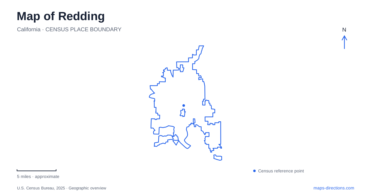
Street tiles load from OpenStreetMap when opened. The blue line shows the 2025 Census boundary.
- State
- California
- Population · July 2025
- 94,092
- Land area
- 59.5 sq mi
- Water area
- 1.5 sq mi
Redding’s Sacramento River is both a dividing line and a route through the city. Bridges connect its banks, but they serve different purposes from the trails that follow the water. The Sundial Bridge makes that relationship particularly visible: it is a crossing, a public artwork, and a link between two halves of Turtle Bay Exploration Park. Downtown’s Market Street and the historic settlement of Shasta add other layers to a map organized first around the river.
A bridge that joins two park campuses
The Sundial Bridge opened on July 4, 2004. Its steel, glass, and granite structure crosses the Sacramento without supports in the water, using a tall pylon and cables to carry the span. That design avoids the nearby salmon-spawning habitat while keeping the river visible beneath the crossing.
The bridge is also a working sundial, although its shadow can record only a limited part of the day and is not useful in winter when it falls too far into the arboretum. Understanding that limitation makes the name more informative than treating it as decorative branding. The structure combines a specific timekeeping idea with a practical pedestrian connection.
For a Redding walk, the plazas at either end provide clear orientation points. The north-side plaza reaches toward the water, while the bridge connects with the wider Sacramento River Trail system. Access to the bridge and surrounding river trails is free; the museum and other managed attractions have their own admission arrangements.
The north bank’s planted and native landscapes
The McConnell Arboretum and Botanical Gardens occupy the northern side of the Turtle Bay campus. The arboretum contains more than 200 acres of native trees and plants, with a one-mile loop linking to the river trail. The botanical gardens provide a more concentrated designed landscape, including Mediterranean-climate planting, a medicinal garden, and a children’s garden.
These two settings should be read differently on the map. The arboretum’s larger area supports a broader walk through vegetation, while the display gardens organize smaller spaces around particular subjects. The nursery propagates drought-tolerant and Mediterranean-climate plants on site, connecting the public displays with practical horticulture suited to the region.
On the south side, the museum and Paul Bunyan’s Forest Camp form another cluster. Turtle Bay’s visitor address is 844 Sundial Drive, whereas the nursery uses 1100 Arboretum Drive. Those distinct approaches reflect a campus spread across the river, with the bridge joining experiences that are separated geographically.
A river trail and a downtown connection
The Diestelhorst to Downtown walking and bicycling route opened in July 2021. Its name describes an important relationship: the river’s recreation network connects with downtown streets rather than remaining isolated along the bank. This adds a useful dimension to Redding’s map for anyone combining an outdoor outing with a visit to the city center.
Caldwell Park supplies another substantial recreation destination, at 58 Quartz Hill Road. Its grounds include playing fields, lawns, a playground, and walking trails. These facilities serve a different purpose from the cultivated museum gardens, even though both contribute to the wider river-oriented landscape. A map with parks and paths visible shows several kinds of public space, not one continuous attraction with a uniform character.
Market Street’s Art Deco landmark
The Cascade Theatre’s auditorium is at 1731 Market Street, with its box office at 1733. Opened in August 1935, the theater is recognized for its Art Deco architecture. Its exterior frieze depicts northern California’s resources, bringing regional themes into the decoration of a commercial building.
The theater gives downtown Redding a landmark rooted in a different era from the Sundial Bridge. One reflects the twentieth-century cinema palace; the other is a contemporary river crossing. Their different architectural forms make them useful reference points when moving between the central streets and the waterfront. Market Street locates the theater within the urban blocks, while Sundial Drive leads toward the park campus.
Historic Shasta lies farther west
Shasta State Historic Park is about six miles west of downtown Redding on Highway 299. It preserves remnants of a separate gold-rush commercial center, including brick ruins and a courthouse restored to its 1861 appearance. The highway passes through the former town’s main street.
The courthouse originally housed businesses before becoming a county government building. County offices moved east in 1888, and the old structure eventually became a museum. Nearby ruined storefronts record a similar shift in commercial activity as the railroad drew people and investment toward the newer railhead. This western excursion therefore helps explain the region’s changing centers, while remaining distinct from a walk through today’s downtown and riverfront.
Map and statistics: U.S. Census Bureau, 2025 Gazetteer, January 2025 generalized place boundaries and Vintage 2025 population estimates. Local references: Turtle Bay Exploration Park; Mayor via Redding Chamber; City of Redding; Cascade Theatre; California State Parks. Article prepared by Maps & Directions.