Map of Reading
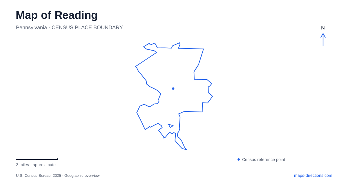
Street tiles load from OpenStreetMap when opened. The blue line shows the 2025 Census boundary.
- State
- Pennsylvania
- Population · July 2025
- 95,832
- Land area
- 9.8 sq mi
- Water area
- 0.2 sq mi
Reading’s map is shaped by a river crossing and a mountain backdrop. Penn Street brings travelers into the downtown street network, while the Pagoda marks a very different landscape on Mount Penn. Between these recognizable features are former industrial buildings, performance venues, and institutional grounds whose street addresses reveal how the city fits together. The useful distinction is one of scale: downtown can be understood block by block, while the mountain roads and creekside museum grounds require a wider view.
Penn Street as a downtown approach
The Penn Street Bridge crosses the Schuylkill River between the city and the neighboring borough to the west. Its rehabilitated historic structure remains a significant gateway. On the western approach, Penn Avenue becomes Penn Street across the bridge. That name change helps explain why a route can retain its general direction while displaying a different street label.
For a visit to downtown Reading, the bridge establishes a clear starting line. Numbered streets then make individual destinations easier to place. GoggleWorks directs arriving visitors from Penn Street onto North Third, then Washington Street and Second Street for its parking area. This sequence illustrates the relationship between the main entry corridor and the arts campus several turns beyond it. The destination is reached through the downtown blocks, rather than directly from the bridge approach.
An industrial building with a new public purpose
GoggleWorks Center for the Arts occupies the former Willson Goggle Factory at 201 Washington Street. The campus covers a city superblock, with roughly 145,000 square feet devoted to creative activity. Its size matters on a walking map: the building is a substantial piece of the neighborhood, not simply a small gallery inserted into a storefront.
The former factory’s teaching spaces include ceramics, glass, metalsmithing, photography, printmaking, and woodworking. These uses give industrial architecture a continuing relationship with making things, although the products and participants have changed. Nearby institutions include the community college, Miller Center for the Arts, and other downtown cultural venues. Together they create an area where educational and artistic uses occupy several buildings rather than one enclosed attraction.
Two performance venues on different streets
The Santander Arena stands at 700 Penn Street. The Santander Performing Arts Center is at 136 North Sixth Street. Their shared name can obscure their distinct locations, so these addresses are particularly useful anchors when comparing an event ticket with a map. Penn Street and North Sixth organize the approach differently even though both venues belong to the downtown entertainment landscape.
The Performing Arts Center has a longer sequence of uses behind its present role. Its nineteenth-century building initially combined a market with Masonic rooms, later became an Academy of Music, and was acquired by the Rajah Shriners in 1917. The downtown therefore contains more than one kind of adaptive reuse: a manufacturing building supports working artists, while an older assembly and entertainment building continues hosting audiences.
Mount Penn and the Pagoda approach
Above Reading, the seven-story Pagoda was completed in 1908 as part of an intended luxury resort that never fully materialized. The building and its grounds became city property in 1911. Its unusual silhouette is a strong orientation landmark, but the mountain-road approach differs substantially from the numbered downtown streets.
Duryea Drive and Skyline Drive belong to this upland setting. Controlled gates are located at Duryea Drive’s traffic triangle with Shearer Road and at the List Road–Skyline Drive intersection. The Foundation’s current guidance describes overnight closure from 9 p.m. to 7 a.m. Those gates make the mountain corridor a managed recreational area rather than an unrestricted through route.
Restoring the building involves its mechanical, electrical and plumbing systems as well as its historic layout. Those are different aspects of preservation, and a drawing or photograph does not establish public access to the interior. Consult the Foundation's visitor guidance for the intended visit rather than using a projected walkthrough or opening date from an older announcement as an operating schedule.
A creek landscape around the museum
The Reading Public Museum occupies a separate destination at 500 Museum Road, together with the Neag Planetarium and an arboretum. Here Wyomissing Creek supplies the organizing line. Paved paths, red bridges, trees, and outdoor sculpture create a landscape that can be explored independently of the galleries.
The 25-acre arboretum reflects early twentieth-century landscape planning. John Nolen’s 1927 work included a general plan for these grounds, with Elmer A. Muhs serving as landscape architect. Trees donated from nurseryman Bertrand Farr’s collection helped establish its botanical character. Labels identify specimens by common and scientific names, turning the grounds into an outdoor collection.
This creekside setting gives Reading another perspective beyond the mountain overlook. Buildings, bridges, and planted grounds each express a different relationship with local terrain, and following the creek paths makes that relationship visible at walking speed.
Map and statistics: U.S. Census Bureau, 2025 Gazetteer, January 2025 generalized place boundaries and Vintage 2025 population estimates. Local references: Pennsylvania State Historic Preservation Office; GoggleWorks Center for the Arts; City of Reading; Santander Arena and Performing Arts Center; Foundation for the Reading Pagoda; Reading Public Museum. Article prepared by Maps & Directions.