Map of Rancho Santa Margarita
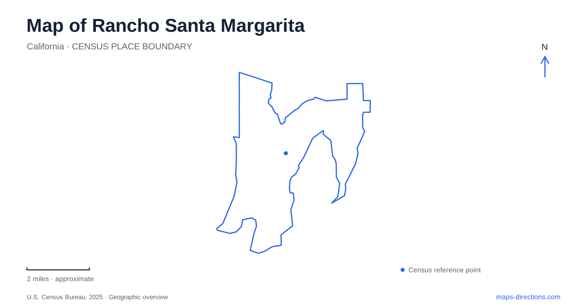
Street tiles load from OpenStreetMap when opened. The blue line shows the 2025 Census boundary.
- State
- California
- Population · July 2025
- 45,779
- Land area
- 12.9 sq mi
- Water area
- 0.0 sq mi
Rancho Santa Margarita combines a deliberately designed lakefront with a much larger landscape of canyons and creek corridors. The lake provides an intimate walking circuit beside shops, while the regional trails extend through terrain that belongs to a wider watershed. A useful map keeps both scales visible. The town’s recreation setting cannot be understood entirely from the lake, and the regional open space cannot be treated as an extension of the same short paved stroll.
A lake designed for a complete circuit
Lago Santa Margarita has a shoreline walking path of about 1.1 miles. Its route reaches the Mercado Del Lago shopping center, bringing a daily commercial destination into the same circuit as landscaped places to pause. The lake’s curved shoreline is a designed feature, creating changing views across a relatively compact body of water.
The pine grove, butterfly garden, amphitheater, and meditation point give the circuit more structure than a simple ring around water. On a detailed map, these features help divide the walk into recognizable parts. The lake and its surrounding path are also distinct from the Beach Club and Lagoon facilities. The latter have their own operating arrangements; the presence of water beside a public-facing walking route does not make every adjoining recreation facility interchangeable.
For someone learning Rancho Santa Margarita, this lakefront is a clear starting reference because the route returns to itself. It offers a different way to understand distance from the longer trails that connect neighborhoods or continue into the canyons. A full circuit and a point-to-point trail may appear equally prominent on a map while requiring quite different plans.
Civic destinations and neighborhood high ground
City Hall and the Bell Tower Regional Community Center are separate buildings on El Paseo, at 22112 and 22232 respectively. Their shared street provides a civic reference distinct from the lakefront. Keeping both names visible is useful when a class, meeting, or community activity identifies its venue by the building rather than the street.
SAMLARC’s Central Park is listed at 30842 La Miranda and includes play and gathering spaces, an amphitheater, and the city’s splash pad. Altisima Park, at 30082 Melinda Road, occupies high ground in the Melinda Heights neighborhood and offers views toward the Saddleback Mountains. These settings illustrate a meaningful local contrast: some public-facing spaces concentrate community activities, while others also help reveal the surrounding relief.
On a Rancho Santa Margarita map, retain neighborhood and road names alongside park labels. Melinda Heights and Melinda Road explain the setting of Altisima more effectively than a generic recreation symbol. El Paseo and La Miranda, meanwhile, identify different destinations within the community’s civic and recreation geography.
Following the creeks beyond the neighborhoods
O’Neill Regional Park occupies land in Trabuco and Live Oak Canyons. Oak and sycamore woodland, canyon bottoms, and shrub-covered slopes give it a different texture from the landscaped lakeshore. Trabuco and Hickey Creeks run through the park, with flow that varies seasonally. A blue creek line therefore represents a drainage course, not a promise of continuous visible water.
The Arroyo Trabuco multiuse trail extends south from the regional park near Trabuco Creek. The Tijeras Creek route extends from the Plano Trabuco area east of Antonio Parkway toward a connection with the Arroyo Trabuco Trail. These named corridors help explain how the open-space network fits around the developed community. They should be read as routes through terrain, with their own surfaces and permitted uses, rather than assumed equivalents of the lake circuit.
Rancho Santa Margarita’s regional context becomes clearer when the creek names remain visible as you zoom out. The trails follow a landscape that continues beyond individual neighborhoods, whereas local parks and civic buildings have much more contained footprints. That distinction is especially helpful when comparing a short neighborhood outing with a longer trip into the canyon system.
Understanding who manages the green spaces
The city explains that most parks within its boundaries are owned and maintained by homeowner associations, while O’Neill and the county trails form a different management category. Public access is available at many association parks, but a green area on the map does not establish identical access to all of its facilities.
Read Rancho Santa Margarita through its specific places: the complete lake circuit, El Paseo’s civic buildings, Melinda Heights’ elevated park, and the Trabuco–Tijeras trail relationship. Together they show how planned neighborhood spaces sit beside a much older drainage landscape, giving the city a geography that is more varied than its orderly street network initially suggests.
Map and statistics: U.S. Census Bureau, 2025 Gazetteer, January 2025 generalized place boundaries and Vintage 2025 population estimates. Local references: SAMLARC; City of Rancho Santa Margarita; OC Parks. Article prepared by Maps & Directions.