Map of Rancho Cordova
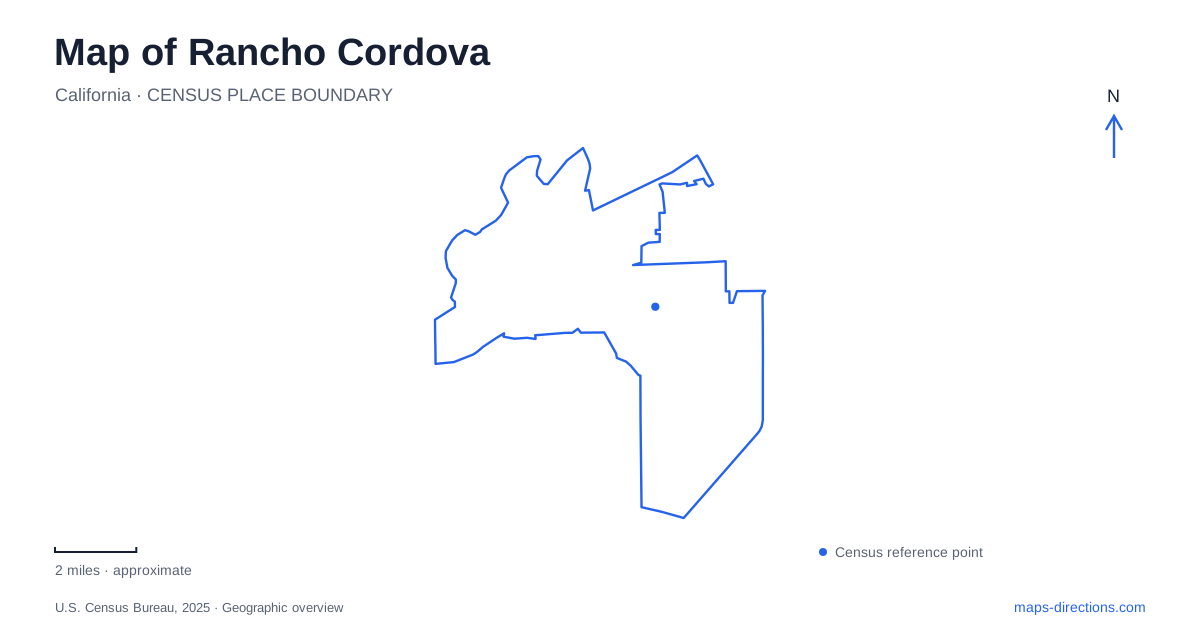
Street tiles load from OpenStreetMap when opened. The blue line shows the 2025 Census boundary.
- State
- California
- Population · July 2025
- 87,554
- Land area
- 34.6 sq mi
- Water area
- 0.3 sq mi
Rancho Cordova's map brings together the American River, a long-established transportation corridor and the legacy of aviation. Those broad features are easy to identify, but some of the most informative places are smaller: a former stopping place for farmers and travelers, a working farm within the parkway, and a creek returned from a concrete channel to a more natural form. These sites show how the city combines older landscapes with later suburban development and public-space improvements.
Mills Station became an arts center
The Mills Station building dates to 1911, when it served as a gathering place for farmers and a stopping place for travelers. In 2018, it opened a new chapter as the Mills Station Arts & Culture Center, known as the MACC. Its address is 10191 Mills Station Road. The center presents exhibitions, workshops, history displays and cultural programs through a collaboration involving the city, regional transit, the county and the community council.
This building gives Rancho Cordova a tangible connection between its earlier transportation landscape and its present cultural life. The name “station” preserves an older identity, but the building's current purpose is an arts center. Its programs also operate around exhibition dates, so the historic site and an active gallery event are not necessarily the same experience on every day. The building's continuity lies in its role as a gathering place, even as the activities bringing people together have changed.
Chase Drive connects two different green destinations
Hagan Community Park is at 2197 Chase Drive, beside the American River Parkway. It combines community recreation facilities with access to the river trail. The park district describes nearby residential and school uses as part of its setting, making the park a connection between everyday neighborhood life and the longer regional green corridor.
Soil Born Farms is nearby at 2140 Chase Drive, but it is a separate destination with a different purpose. The city describes the 55-acre urban farm as a place for sustainable agriculture, education and community activity. Seeing both addresses together helps explain this part of the map: a developed community park and a working farm occupy related riverfront surroundings without being one facility. The distinction is more useful than treating all green space beside the river as a single uniform park.
A working farm survives within the parkway
The American River Ranch is the permanent home of Soil Born Farms' agriculture and education project. The organization identifies it as one of the last working farms on the lower river, surrounded by urban development but located within the protected parkway. That position gives the site an unusual combination of agricultural production and metropolitan surroundings.
For Rancho Cordova, the ranch makes an older land use visible in a contemporary city. Fields are not merely an ornamental reminder of farming; they remain part of an active educational operation. The Sacramento Valley chapter of the California Native Plant Society also locates its nursery on the property, with directions that distinguish the nursery from other farm areas. This combination of cultivation, native plants and river habitat explains why a farm map contains more than crop rows. Different parts of the property support production, learning and ecological work.
Cordova Creek was deliberately reshaped
Cordova Creek crosses this landscape before reaching the American River. Restoration partners worked to replace a concrete-lined storm drain with a more natural channel, including vegetated banks and habitat features. The Sacramento Water Forum dates the completed restoration project to 2017. Its account also describes the role of beavers in the recovering creek environment.
The creek's form therefore records a deliberate change in how urban water is managed. A straight engineered drain and a winding vegetated stream can carry water through the same general area while offering very different habitat. This is an important detail on a map of Rancho Cordova: the green corridor is partly the result of restoration, not simply land that escaped development. Later planning for the lower creek is a separate project, so completion of the earlier work should not be stretched into a claim that every proposed improvement is finished.
Mather's aviation landscape lies nearby
The neighboring Mather airfield adds a larger transportation feature to the area's history. It originated as a military flying field in 1918 and was fully activated again by 1941 for wartime training. Military operations ended in 1993, and the field reopened for civilian use in May 1995. Sacramento County's airport department now describes its role in cargo and general aviation.
Mather's broad runways contrast with the river's curving edge and the smaller spaces around Mills Station. It is a regional neighbor whose influence extends beyond a single municipal boundary. Reading it alongside the arts center, Hagan Park, working ranch and restored creek gives Rancho Cordova a layered geography: transport infrastructure, community institutions, agriculture and habitat restoration each occupy distinct spaces. The map becomes a record of changing uses of land, rather than just a means of finding the next road junction.
Map and statistics: U.S. Census Bureau, 2025 Gazetteer, January 2025 generalized place boundaries and Vintage 2025 population estimates. Local references: Mills Station Arts & Culture Center; Cordova Recreation and Park District; City of Rancho Cordova; Soil Born Farms; California Native Plant Society, Sacramento Valley Chapter; Sacramento Water Forum; Sacramento County Department of Airports. Article prepared by Maps & Directions.