Map of Raleigh
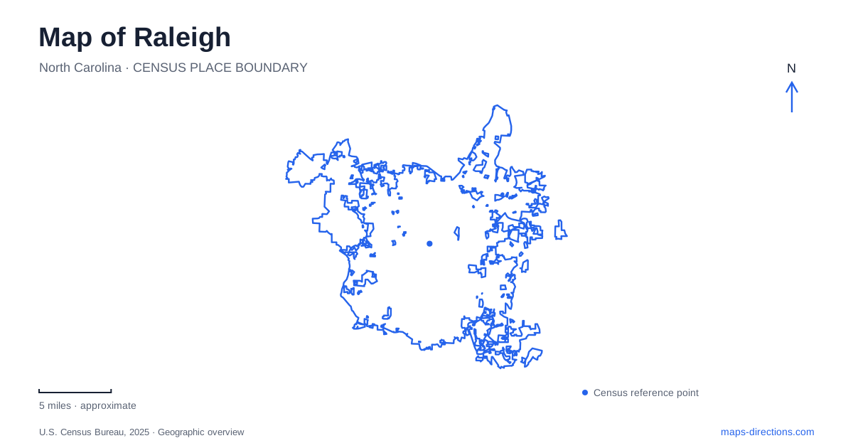
Street tiles load from OpenStreetMap when opened. The blue line shows the 2025 Census boundary.
- State
- North Carolina
- Population · July 2025
- 506,306
- Land area
- 152.3 sq mi
- Water area
- 1.1 sq mi
Raleigh makes more sense on a map when its planned streets and its waterways are read together. The original center occupies a ridge between Crabtree and Walnut creeks, while the greenway system follows valleys beyond the downtown blocks. Civic squares, former industrial property, and a large museum landscape create several distinct kinds of public space. Understanding those differences helps explain why a short-looking connection on a street map can represent a very different journey on foot or by bicycle.
A capital arranged around public squares
The 1792 town plan established a rectangular street grid with public squares. Union Square, reserved for the State Capitol, occupied the center of that design. Moore Square survives from the original arrangement east of Fayetteville Street and south of the Capitol. Its four-acre footprint is therefore more than an isolated patch of green: it records part of the city's founding layout.
Fayetteville Street developed as the principal business street, with commercial growth spreading to either side after the Civil War. Around South Blount and East Hargett streets, the Moore Square Historic District preserves another strand of downtown history, including the area known as Black Main Street. City Market and its cobblestone streets give this part of the center a different texture from the larger civic corridor.
A downtown Raleigh map can be read through these relationships rather than as an undifferentiated collection of attractions. The Capitol grounds establish one reference point, Fayetteville Street supplies an organizing line, and Moore Square provides an eastern anchor. The GoRaleigh Transit Center and Marbles Kids Museum also belong to the square's surrounding district, bringing transportation and family destinations into the same compact area.
The industrial landscape beside the civic center
The Warehouse District introduces a different block pattern and building character. Manufacturing premises and coal yards contributed to its development, and many of its brick buildings have been adapted for arts, restaurants, housing, and technology businesses. This history helps explain the substantial building footprints and the contrast with the formal squares nearby.
Union Station is a major transportation landmark within the district. Nash Square, Boylan Heights, and the Boylan Bridge offer further reference points when tracing connections between the warehouse blocks and neighboring areas. The bridge is also associated with skyline views, making it a useful place to understand the district's relationship to the taller downtown center.
The names on a map preserve overlapping histories here. “Warehouse” describes an earlier economic role, while current uses mix transport, work, culture, and residential life. Reading the district as a connected group of blocks is more informative than looking for a single warehouse attraction.
Creek corridors form a second network
Away from the original grid, Raleigh has a route system organized by water. The Neuse River Greenway Trail follows the river for 27.5 miles from Falls Lake Dam to the Wake–Johnston county line. Wetland boardwalks, agricultural landscapes, and wooded sections make that corridor quite different from a downtown sidewalk route.
Walnut Creek Trail connects the Neuse corridor with Lake Johnson, passing through the southeastern part of the city. At Walnut Creek Wetland Park, it meets Little Rock Trail. That junction is especially useful for understanding how the larger network branches: one corridor follows the creek across the city, while the other creates a connection toward downtown.
House Creek Trail illustrates another relationship between transport infrastructure and green space. It runs along the Interstate 440 corridor, connecting the Crabtree Valley Mall area with Reedy Creek Trail at Wade Avenue. These named links explain how separate-looking green strips function as parts of a wider system. For an actual outing, use the current trail map and closure notices; a continuous line on a general map does not establish present access.
Art grounds on Blue Ridge Road
The North Carolina Museum of Art adds a substantial landscape to the map of Raleigh. At 2110 Blue Ridge Road, its indoor galleries sit beside the Ann and Jim Goodnight Museum Park, where public art, gardens, and nearly five miles of trails connect with the Capital Area Greenway system.
The park has its own spatial organization. The Promenade connects the gallery area, Plaza, Ellipse, Smokestack, and Wave Gardens. The Wave Gardens help relate the grounds to Blue Ridge Road and the parking area, while the Ellipse creates a broad open landscape within the park. These features make the outdoor grounds a destination with several connected spaces rather than simply a lawn outside a museum.
Together, the downtown squares, reused industrial blocks, creek corridors, and museum park reveal several layers of Raleigh. A useful map keeps those layers visible: the original civic plan explains the center, historic working landscapes explain the warehouse district, and waterways explain many of the longer recreational connections.
Map and statistics: U.S. Census Bureau, 2025 Gazetteer, January 2025 generalized place boundaries and Vintage 2025 population estimates. Local references: City of Raleigh; Downtown Raleigh Alliance; North Carolina Museum of Art. Article prepared by Maps & Directions.