Map of Racine
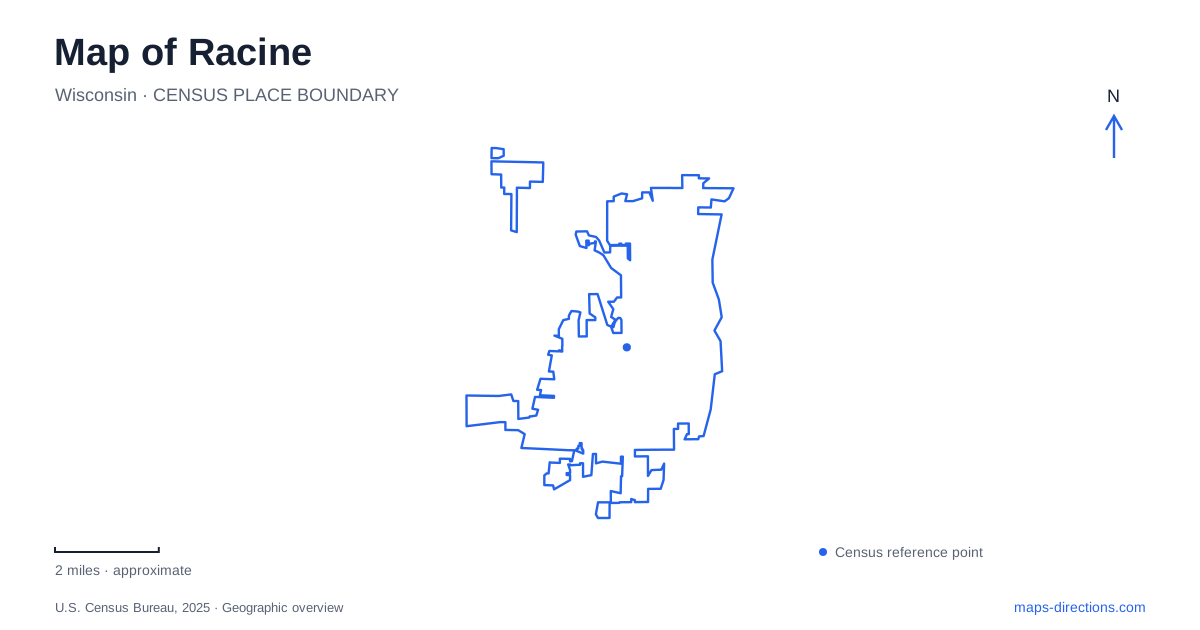
Street tiles load from OpenStreetMap when opened. The blue line shows the 2025 Census boundary.
- State
- Wisconsin
- Population · July 2025
- 77,908
- Land area
- 15.5 sq mi
- Water area
- 0.2 sq mi
Racine has two waterfront directions that shape a useful city map. Lake Michigan creates the broad eastern edge, while the Root River draws a winding route inland from the downtown area. Main Street ties together central cultural destinations, but some of the best-known architecture lies away from that corridor. Distinguishing the lakeshore, river parks, museum campuses, and neighboring Wind Point makes it easier to build an outing around geography instead of assuming that every familiar attraction belongs to one downtown cluster.
From Main Street toward the beach
The downtown art museum at 441 Main Street is a convenient landmark for the central district. RAM Downtown opened in this building in 2003, bringing contemporary craft exhibitions into a property that had accommodated a succession of commercial uses. The museum's account of the building includes banking, broadcasting, retail, and professional offices, reflecting how a downtown address can retain importance while changing function.
North Beach lies north of downtown, across the Root River. Its 50 acres and roughly 2,500 feet of shoreline make it a substantial lakefront landscape, with sand volleyball, picnic space, a bathhouse, and the Kids Cove playground. The Lake Michigan Pathway runs between the beach and park, giving the waterfront a through route for walking and cycling as well as places to stop.
This part of Racine is especially legible when the shoreline and Main Street are kept visible together. One route follows the water and recreational grounds; the other passes through the built city. They support different experiences of the same general north–south journey, with the river crossing marking an important transition between downtown and the beach area.
Following the Root River inland
The Root River Pathway begins at the Main Street Bridge and extends about four miles toward Colonial Park. The city describes interpretive signposts along the route that explain the river's role in local development. Unlike the open lakefront, this corridor turns with the river and passes through inland green space. Its bends reveal a part of the city that can be difficult to appreciate from the surrounding roads.
The pathway system also connects with longer county routes, including the MRK and North Shore trails. On the lakefront route, the northern connection is at Three Mile Road and South Street, while the southern connection reaches Chicory Road. These points give a longer walking or cycling plan a clearer regional framework than simply following an unlabeled green line across the map.
The history of Island Park adds another layer to the river landscape. A city-hosted study of Jens Jensen's park designs explains that it combined the earlier Horlick Park and Lewis Field properties. River channels and a lagoon helped shape those sites, and Jensen's plans used curving drives and pedestrian paths to connect the open spaces. That history encourages a reader to see the river parks as designed public landscapes responding to water, rather than leftover pieces between developed blocks.
Two places for art
Racine's art museum operates a second campus, RAM Wustum, at 2519 Northwestern Avenue. This location occupies a historic residential setting and combines exhibitions with studio classes and community programs. It shares a public parking lot with the Theatre Guild, providing a useful local reference beyond the museum name.
The downtown campus emphasizes contemporary craft and rotating exhibitions with a broader national and international scope. Wustum's teaching and community role gives it a different purpose. A visitor interested in a particular class should therefore use the campus specified by the program, while someone exploring the downtown galleries should begin with Main Street. The two locations tell a wider story about cultural activity extending beyond the commercial center.
Wright architecture and a traveling theater
SC Johnson's headquarters brings internationally known architecture to Racine. Frank Lloyd Wright's Administration Building opened in 1939, and the Research Tower followed in 1950. Together they represent distinct parts of a working corporate campus, rather than a single museum building.
Public tours begin at the Golden Rondelle Theater, 1525 Howe Street. The theater has its own unusual geographic history: it was built for the 1964 World's Fair and moved to the headquarters campus in 1967. Its role as the tour starting point makes it the practical address for an architecture visit, even when the Wright buildings are the main interest.
Wingspread, the Wright-designed former Johnson family home, is farther north at 33 East Four Mile Road. It belongs to the Village of Wind Point, as does the Wind Point Lighthouse. The county tourism bureau identifies these as neighboring-community destinations north of downtown. Keeping that boundary and the separate tour location in mind produces a more accurate map of Racine and its surroundings: a lakefront city with connected cultural routes that continue into nearby places, each with its own setting and history.
Map and statistics: U.S. Census Bureau, 2025 Gazetteer, January 2025 generalized place boundaries and Vintage 2025 population estimates. Local references: Racine Art Museum; City of Racine; City of Racine historical park study; SC Johnson; Racine County Convention and Visitors Bureau. Article prepared by Maps & Directions.