Map of Queen Creek
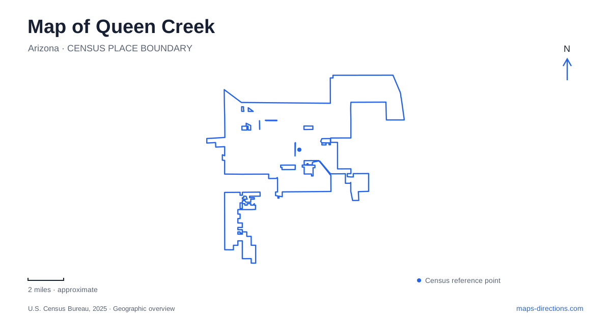
Street tiles load from OpenStreetMap when opened. The blue line shows the 2025 Census boundary.
- State
- Arizona
- Population · July 2025
- 89,770
- Land area
- 42.0 sq mi
- Water area
- 0.0 sq mi
Queen Creek occupies a valley setting below the San Tan Mountains, where agricultural history remains visible in place-names and recreation patterns. The town's major roads serve newer neighborhoods and commercial areas, but older rail and farming connections help explain how the community began. Wash corridors introduce another organizing pattern through the developed land. Following these features gives the map a clearer structure than treating the entire southeastern valley as an undifferentiated extension of metropolitan Phoenix.
Rittenhouse and the agricultural settlement
The community was formerly known as Rittenhouse, a name associated with its railroad stop. Early twentieth-century families farmed cotton, corn and potatoes in the surrounding valley. Rail access mattered because produce needed a connection to markets beyond the immediate farming district. As the stop's importance diminished, the community adopted the creek name that identifies the municipality today.
Incorporation came much later, on September 5, 1989. The gap between settlement and municipal government is important: many local institutions and family histories predate the town's legal creation. An incorporation date should not be read as the beginning of human occupation or community life in this landscape.
Rittenhouse Road preserves the older name within the transportation network. The town's historical records also identify former railroad sidings and a station water tank, reminders of the infrastructure once needed to support rail operations. These traces connect the present road system with an earlier movement of crops, equipment and supplies.
A school becomes a historical museum
The former Rittenhouse Elementary School stands at the southeastern corner of Ellsworth and Queen Creek roads. Built in 1925, the building now houses the San Tan Historical Society Museum. Its survival gives the agricultural community a physical landmark, rather than leaving the early settlement represented only by street names.
The historical society's preservation work began after the school had stood unused and deteriorated. Its scope also extends beyond the town itself, documenting Chandler Heights, Combs and Higley. That regional emphasis reflects how farming communities related to one another before today's municipal boundaries became such prominent reference lines. The school is therefore useful both as a local anchor and as an introduction to the wider southeastern valley.
Wash trails through the developed valley
Queen Creek Wash and Sonoqui Wash carry drainage across the landscape and provide corridors for multi-use trails. These routes follow a pattern different from the road grid, weaving beside neighborhoods and through more open land. Their alignment makes the washes visible as continuous landscape features, even where surrounding development changes from one subdivision to another.
The town identifies Mansel Carter Oasis Park and Desert Mountain Park as useful access points to the creekside trail. The Sonoqui corridor connects with Horseshoe Park and forms part of the wider Maricopa Trail system. Walking, cycling and equestrian use share this network, with the town reserving wash bottoms for equestrian activity. The distinction between a developed path and the drainage bottom helps explain why nearby lines on a map can represent different uses.
Equestrian grounds and community parks
Horseshoe Park & Equestrian Centre occupies 38 acres on East Riggs Road. Its arenas and event grounds accommodate both English and Western equestrian activities, alongside rodeos and other gatherings. The facility gives the community's rural identity a continuing public role. Horses are part of an active recreation culture here, rather than solely an image associated with the farming past.
Mansel Carter Oasis Park adds a different kind of recreation landscape. Its first phase opened in September 2018 with sports fields, playgrounds, a splash pad and a five-acre fishing lake. The lake is a designed park feature, providing a clear contrast with the usually dry wash corridors that organize much of the surrounding terrain.
Newer investment includes Frontier Family Park, an 85-acre facility on Signal Butte Road. Together, these parks show how Queen Creek has expanded public recreation as residential development has grown. The equestrian center, fishing lake and larger community park serve different activities, rather than repeating one park model at several addresses.
The mountain landscape beyond town
San Tan Mountain Regional Park lies south of the Maricopa–Pinal county line near the town. Its trail network extends into desert terrain around Goldmine Mountain, the Malpais Hills and other named landforms. The county's trail map makes the contrast with the valley clear: paths bend around slopes and pass through gaps rather than following rectangular blocks.
Goldmine Trail includes a steep climb, while other routes explore lower terrain. A mountain trail should therefore be interpreted through contours and terrain, not just its apparent length beside an urban path. The regional park and town wash trails belong to connected recreational geography, but they offer different physical settings.
A map of Queen Creek becomes more useful when these distinctions stay visible: the former rail settlement around Rittenhouse, the preserved school, drainage corridors, equestrian grounds and the mountain park. Together they explain how a farming community's landscape has been adapted to contemporary town life.
Map and statistics: U.S. Census Bureau, 2025 Gazetteer, January 2025 generalized place boundaries and Vintage 2025 population estimates. Local references: Town of Queen Creek; San Tan Historical Society; Maricopa County Parks. Article prepared by Maps & Directions.