Map of Puyallup
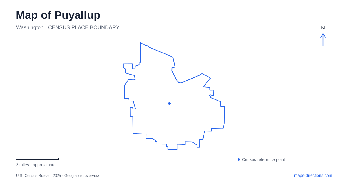
Street tiles load from OpenStreetMap when opened. The blue line shows the 2025 Census boundary.
- State
- Washington
- Population · July 2025
- 42,682
- Land area
- 14.4 sq mi
- Water area
- 0.1 sq mi
Puyallup has a compact civic center in the valley and a different recreation landscape on South Hill. South Meridian, Pioneer Park, and the nearby downtown blocks provide a useful starting framework. The Riverwalk follows the city's northern water corridor, while Bradley Lake and Clarks Creek introduce other forms of open space. A map becomes more informative when these places are compared by landscape and history, rather than grouped together as interchangeable parks or visitor attractions.
Pioneer Park as the civic anchor
Pioneer Park has long functioned as the town square. The library opened beside this civic setting in 2002, followed by the pavilion in 2004 and the activity center in 2006. City Hall, dedicated in 2008, stands across South Meridian, with a plaza and open spaces connecting the government building to the park. The arrangement creates a recognizable cluster of public uses within the downtown street grid.
There is an older civic story beneath that modern setting. The present City Hall occupies approximately the site of the former Redmen's Opera House, which also served municipal functions before earthquake damage led to its demolition in 1949. For a walk through Puyallup, this makes the area more than a collection of buildings from a single period. The location has repeatedly accommodated public life, even as the structures and forms of gathering have changed.
A hop-farming household on Spring Street
Meeker Mansion stands at 312 Spring Street. Ezra and Eliza Jane Meeker built the Italianate home in 1890 after raising their family in a much smaller cabin. The surviving interior includes original fireplaces, decorative ceiling work, stained glass, and speaking tubes. These details show the household's aspirations and the domestic technology associated with a substantial late-nineteenth-century home.
The mansion also connects Puyallup's urban history with agriculture. Ezra's wealth came from hop farming, while Eliza helped establish the public library and participated in the suffrage movement. The building thus represents both private prosperity and public influence. Its later restoration by the historical society preserves a particular household's environment, complementing the civic history around Pioneer Park. The two destinations tell related stories at different scales: one through rooms and furnishings, the other through public streets and institutions.
The river route is a corridor, not a lake loop
The city's Riverwalk description traces a roughly five-mile route between the western city boundary and the East Main bridge. Most follows the river, but about a mile uses existing sidewalks. That variation matters: a line labeled as a trail can include both riverside sections and ordinary street-side connections. The East Main address given by the city identifies one approach, not the whole extent of the route.
A map of Puyallup should therefore show the Riverwalk as a linear journey through the valley rather than a single park destination. Its relationship to the river gives it a different purpose from a contained lakeside outing. The city has also described future regional trail connections; those ambitions are best distinguished from the established local route when choosing how far to travel.
Bradley Lake on South Hill
Bradley Lake Park occupies a 59-acre property at 531 31st Avenue Southeast, including a twelve-acre lake. Voters approved its purchase in 1997. The developed park combines walking trails, fishing areas, a picnic shelter, youth ballfields, and an inclusive playground. This makes it a place where water, organized recreation, and everyday walking share one property.
Its South Hill location changes the geographic frame from downtown. Rather than following the river along the valley, a visit focuses on a lake surrounded by parkland. The numbered avenue address helps locate it within the southern street network. It can be understood as a separate recreation district, not an extension of Pioneer Park or a stop along the Riverwalk simply because all three are municipal facilities.
Clarks Creek and its headwaters
Clarks Creek adds a spring-fed landscape to the local map. Maplewood Springs lies near the creek's headwaters and the state fish hatchery. The city's shoreline plan describes a natural trail system linking this upper area with Clarks Creek and DeCoursey parks. Forest, wetlands, and the creek's habitat role are central to this corridor.
The park areas also differ from one another. Clarks Creek's northern portion accommodates active recreation, while its southern area contains substantial wildlife habitat. DeCoursey Park sits immediately north and includes a man-made pond with a path around its edge. These relationships give Puyallup several distinct water landscapes: the broad river corridor, Bradley's lake, the spring-fed creek, and a constructed park pond. Recognizing those differences helps explain both the city's terrain and the variety of outdoor experiences available within it.
Map and statistics: U.S. Census Bureau, 2025 Gazetteer, January 2025 generalized place boundaries and Vintage 2025 population estimates. Local references: City of Puyallup; Puyallup Historical Society. Article prepared by Maps & Directions.