Map of Pueblo
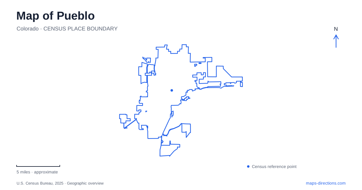
Street tiles load from OpenStreetMap when opened. The blue line shows the 2025 Census boundary.
- State
- Colorado
- Population · July 2025
- 110,404
- Land area
- 56.6 sq mi
- Water area
- 0.7 sq mi
Pueblo's geography becomes clearer when the Arkansas River is treated as a changing landscape rather than a single blue line. The downtown Riverwalk recalls an earlier river alignment, the main river corridor carries trails and flood-control infrastructure, and a large reservoir lies farther west. Industrial and commercial districts developed in relation to that water and the railroads. Their different histories remain visible in street names, warehouse blocks, museum buildings, and park entrances. A useful map connects these features while keeping their individual settings recognizable.
Two ways to encounter the river downtown
The downtown waterfront known as HARP occupies a historic river location. After the destructive flood of 1921, the Arkansas was diverted away from its former downtown course. The Riverwalk project brought water back into that setting as a managed urban waterfront. Its public promenades, boat activity, and adjoining businesses belong to this deliberately created downtown environment.
The broader river trail system follows the Arkansas River and Fountain Creek. It serves walkers and cyclists along corridors that extend beyond the concentrated downtown waterfront. This distinction explains why a search for a riverside outing can produce substantially different experiences: one emphasizes a landscaped channel among urban destinations, while another follows longer waterway corridors. Both are part of the city's relationship with water, but their maps answer different questions about access, distance, and surroundings.
The Riverwalk's official history also records a 2026 extension of approximately 500 feet toward Santa Fe Avenue. That named street helps place the expanded waterfront within the downtown network. It is more useful for orientation than assuming every water feature visible near the center belongs to the present main river channel.
Union Avenue and the warehouse city
Union Avenue's historic commercial district lies northwest of the Arkansas River in the old business area. Its growth followed the platting of South Pueblo in 1872, with brick buildings appearing in the early 1880s. Wholesale and warehouse uses associated with the Denver and Rio Grande Railroad shaped the district. The buildings therefore represent a commercial landscape organized around moving and storing goods, rather than a residential neighborhood that later acquired shops.
The 1921 flood affected this district as well as the river itself. Reading Union Avenue beside the waterfront makes that shared history more apparent. Streets, masonry buildings, and later water-management projects are different physical responses to the same setting. The district's National Register designation recognizes the concentration of historic properties, so the useful unit on a map is the group of blocks rather than one isolated landmark. Its railroad connections also explain why warehouse and depot references recur in descriptions of this part of town.
Bessemer and the steel industry's neighborhood
Industrial Pueblo has another strong reference point at the Steelworks Center of the West, 215 Canal Street. The museum occupies the Colorado Fuel and Iron Company's former medical dispensary, built in 1901. That building connects industrial history with the everyday needs of workers, providing a more specific picture than a distant view of mill structures.
The center's Bessemer walking and cycling material identifies Evans, Canal, Abriendo, and Baystate as streets through which to read the surrounding company-related landscape. It describes a large company store at Baystate and Evans, destroyed by fire in 1953, and the former Steelworks YMCA location near Abriendo and Canal. These references distinguish surviving buildings from historical sites whose original structures have disappeared. They also reveal how retail, recreation, and medical services clustered around the industrial workforce. A neighborhood map becomes a record of those relationships even where today's buildings differ from the older streetscape.
City Park and the reservoir approaches
City Park at 800 Goodnight Avenue provides a western urban recreation anchor. Established in 1904, it contains Lake Joy, Horseshoe Lake, a zoo, and access to the Arkansas River Trail System and Waterworks Park. Many structures date from 1930s Works Progress Administration work, with native stone and wood contributing to a rustic architectural character. The park thus combines designed recreation grounds with a connection to the longer river corridor.
Lake Pueblo State Park requires a wider geographic view. Colorado Parks and Wildlife gives separate northern and southern approaches from US 50. The southern route uses the boulevard and Thatcher Boulevard, also designated Highway 96; the northern route uses McCulloch Boulevard and Nichols Road. The park office is on South Marina Road, and separate boat ramps serve the two shores. These are distinct approaches around a large body of water, not interchangeable entrances to a compact downtown park. From Union Avenue to Bessemer and the reservoir, Pueblo's map tells a consistent story of commerce, industry, and recreation organized around water.
Map and statistics: U.S. Census Bureau, 2025 Gazetteer, January 2025 generalized place boundaries and Vintage 2025 population estimates. Local references: HARP Authority; City of Pueblo; Historic Pueblo; Steelworks Center of the West; Colorado Parks and Wildlife. Article prepared by Maps & Directions.