Map of Provo
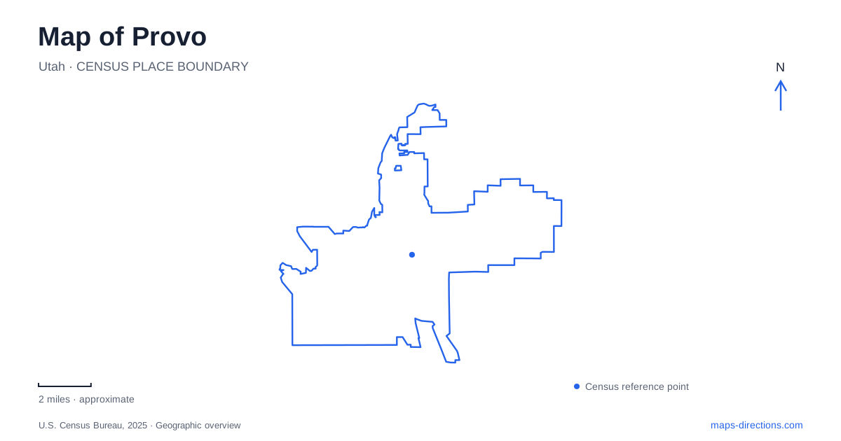
Street tiles load from OpenStreetMap when opened. The blue line shows the 2025 Census boundary.
- State
- Utah
- Population · July 2025
- 114,527
- Land area
- 41.9 sq mi
- Water area
- 2.5 sq mi
Provo is organized by two very different patterns: a numbered street grid around Center Street and University Avenue, and a river corridor that curves toward Utah Lake. The first helps locate downtown institutions and transit stops. The second connects parks and trail access points across the western city. Brigham Young University adds a large campus landscape north of downtown, with its own circulation and visitor facilities. Reading these patterns together gives a more useful picture than treating the city as either a university town or a gateway to the mountains alone.
Center Street anchors the historic commercial district
The downtown historic commercial district includes properties along Center Street from 100 East to 300 West and along University Avenue from roughly 55 North to 100 South. Those limits describe a concentrated group of older buildings at the meeting of the two principal streets. The city's downtown plan identifies landmarks such as the Knight Block, Taylor Brothers Building, and the former tabernacle among the historic resources in the central area.
This compact geography suits an outing focused on architecture and street-level activity. Center Street provides the east-west sequence, while University Avenue introduces the north-south axis. Keeping the district's actual extent in view helps explain why a short walk can encounter several significant buildings, even though other civic landmarks lie farther along the same avenues.
The rail arrival point is south of these blocks. Provo Central Station stands at 701 South Freedom Boulevard and serves FrontRunner as well as the Utah Valley Express network. The station's street address gives an immediate indication of its relationship to Center Street. A downtown visit beginning by train therefore includes a connecting journey north from the station area, rather than an arrival directly within the historic commercial intersection.
Academy Square preserves an earlier educational center
The library at Academy Square occupies the restored Brigham Young Academy building at 550 North University Avenue. The academy opened in 1892, and preservation of the building allowed it to take on a new public role. The library provides a self-guided tour brochure for visitors interested in the structure's history, making the building an architectural destination as well as a working community institution.
Academy Square offers a useful intermediate point between downtown and the modern university landscape. Its University Avenue address places it north of the historic commercial blocks, while its educational origins connect it conceptually with the larger campus. The old academy and the current university should be understood as related chapters of local history occupying different physical settings.
For Provo visitors interested in education and architecture, that distinction creates a worthwhile route. Begin with the commercial center, continue to the preserved academy, and then examine how the university campus organizes buildings and public space at a much larger scale. The sequence shows changes in institutional needs without requiring every stop to serve the same present-day purpose.
The university has its own circulation pattern
BYU's Museum of Art identifies visitor parking beside its northeast entrance on North Campus Drive. The museum's galleries are accessible, and visitors can request wheelchairs or seated walkers at the front desk. These facilities make the museum a practical starting point for a campus visit with an interest in art.
North Campus Drive also illustrates why an old road map can misrepresent present campus movement. A university account of the 2013 campus redesign explains that the drive now ends at the museum parking lot, while pedestrian spaces connect areas that were formerly divided by through traffic. The museum approach and the walking network consequently serve different functions. A vehicle route into the visitor lot does not describe a continuous driving route through the academic core.
Follow the river west toward the lake
The Provo River Parkway Trail connects the canyon landscape with Utah Lake through multiple jurisdictions. Within the city, useful access points include Geneva Road at 350 North and the Lakeshore area near 470 North. Paul Ream Wilderness Park, at 1600 West 500 North, provides another recognizable starting point along the western corridor.
The city's river and lakeshore planning documents identify a chain of parks and open spaces along the water, including Paul Ream, Riverside, Exchange, and Riverview parks. Near the river's meeting with the lake, Utah Lake State Park forms another major recreation destination. This gives the western map a sequence based on water and open space rather than on the regular spacing of the street grid.
A Provo itinerary can use that contrast deliberately. Downtown and Academy Square reward attention to buildings and their changing uses; the campus introduces a pedestrian academic landscape; the river corridor reveals the connection between the city and the lake. Selecting one of the named western access points makes the last part of the outing a defined river visit rather than an unspecified drive toward the water.
Map and statistics: U.S. Census Bureau, 2025 Gazetteer, January 2025 generalized place boundaries and Vintage 2025 population estimates. Local references: City of Provo; Utah Transit Authority; Provo City Library; Brigham Young University Museum of Art; Brigham Young University. Article prepared by Maps & Directions.