Map of Providence
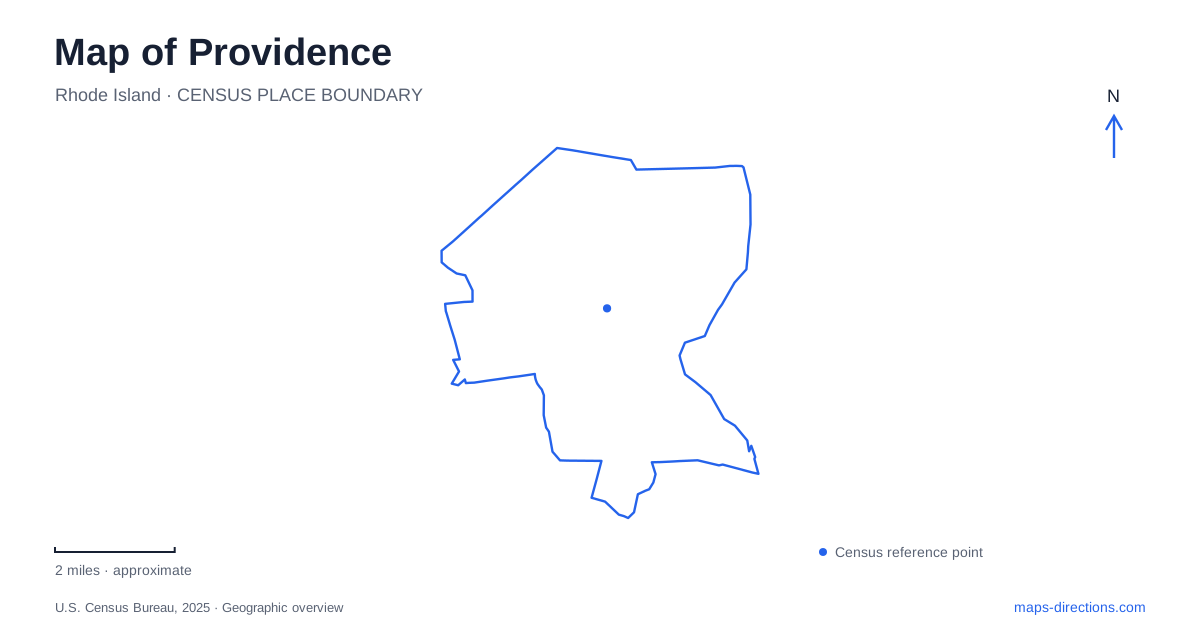
Street tiles load from OpenStreetMap when opened. The blue line shows the 2025 Census boundary.
- State
- Rhode Island
- Population · July 2025
- 195,310
- Land area
- 18.4 sq mi
- Water area
- 2.2 sq mi
Providence rewards a map reader who looks for changes in level as well as changes in street name. Downtown's river walks occupy a different setting from the rising streets of College Hill, while large landscaped grounds farther from the center have their own internal roads and lakes. The waterways have also been substantially reshaped. What appears to be a natural arrangement of riverside promenades is partly the result of deliberate changes to roads, rail lines and development over several decades.
A downtown that uncovered its rivers
Waterplace Park and the Riverwalk emerged from redevelopment during the 1980s and 1990s. Roads, parking areas and railroad infrastructure had obscured much of the central water landscape. Relocating those elements allowed the Woonasquatucket and Moshassuck waterways to become visible civic spaces again. Waterplace Park opened in 1994, the same year WaterFire made its debut.
This history matters because the riverfront is not simply a strip left untouched while the city grew around it. The paths, bridges and public spaces represent a decision to bring water back into everyday urban life. Looking between the basin, surrounding streets and nearby buildings reveals how much of the downtown experience depends on those connections.
The city's Riverwalk Resilience Project addresses flooding, deteriorating walls and gaps in accessible routes. Its plans for raised paths and additional crossings explain the engineering challenges of a low-lying urban waterfront. Project drawings are useful background, but a walking itinerary should be based on established public approaches and the city's access guidance. This keeps the river's long-term civic role separate from assumptions about the completion of individual improvements.
College Hill is both a district and a slope
East of the downtown river landscape, College Hill gathers educational institutions, historic houses and cultural buildings into a much older street pattern. Brown University and the Rhode Island School of Design occupy this area, but the neighborhood also contains residences and places of worship. Its identity extends beyond either campus.
Benefit Street offers an architectural thread through Providence. The Athenaeum has occupied its Greek Revival building there since 1838, while the Old State House preserves an earlier chapter of civic government. On nearby Power Street, the John Brown House Museum interprets a prominent eighteenth-century residence. These buildings differ in purpose and scale, giving the district more depth than a uniform collection of old houses.
Prospect Terrace on Congdon Street provides a view over the city and a statue of Roger Williams. Its elevated outlook makes the district's name tangible. A short distance on a flat map can include a meaningful climb here, particularly when moving from river-level cultural destinations toward the university grounds.
A campus entrance facing the city
Brown's Van Wickle Gates stand at the top of College Street. Built in 1901, they face outward toward the city below, emphasizing the relationship between the campus and the hillside rather than enclosing the university in a disconnected suburban setting.
The central gates have a ceremonial use: they open inward for incoming students at Convocation and outward for graduating students at Commencement. Their usual closure is therefore part of a tradition, not evidence that the entire campus is inaccessible. As an architectural landmark, the gateway makes a useful point for understanding where the institutional landscape meets the older surrounding streets.
New parkland on former highway space
Farther along the Providence River, the seven-acre 195 District Park occupies both banks. The Michael S. Van Leesten Memorial Pedestrian Bridge connects its east and west sections, creating a river crossing specifically associated with public open space.
The park grew from land made available by the relocation of Interstate 195. Like Waterplace, it reflects a major rethinking of infrastructure, although the project belongs to a different part of the waterfront and a later transformation. Its lawns, public art and programmed activities make former transportation land usable for everyday gatherings. A map showing the park on both sides of the water captures its defining feature: the bridge is a connection within the public space, not merely a nearby object to photograph.
Two landscapes named for Roger Williams
Roger Williams National Memorial is a compact, 4.5-acre downtown green space associated with North Main Street. Congress established it in 1965 to commemorate Williams and his contributions to religious freedom and separation of church and state. The visitor center provides interpretation within an urban setting close to the historic core of Providence.
Roger Williams Park has a very different scale and origin. It began in 1871 with Betsey Williams's gift of farmland and woodland and grew into a landscape of more than 435 acres. Horace Cleveland designed it as a retreat for residents of an industrializing city. Lakes, wooded areas and curving park roads belong to that recreational vision.
For a Providence itinerary, these two names should remain distinct. The national memorial offers a focused historical stop, while the larger park calls for choosing among its internal destinations and allowing time to move through a designed landscape. Their shared dedication links them historically; their locations, size and visitor experiences set them apart geographically.
Map and statistics: U.S. Census Bureau, 2025 Gazetteer, January 2025 generalized place boundaries and Vintage 2025 population estimates. Local references: City of Providence; Providence Warwick Convention and Visitors Bureau; Brown University; 195 District Park; Providence Foundation; National Park Service; Roger Williams Park Conservancy. Article prepared by Maps & Directions.