Map of Prosper
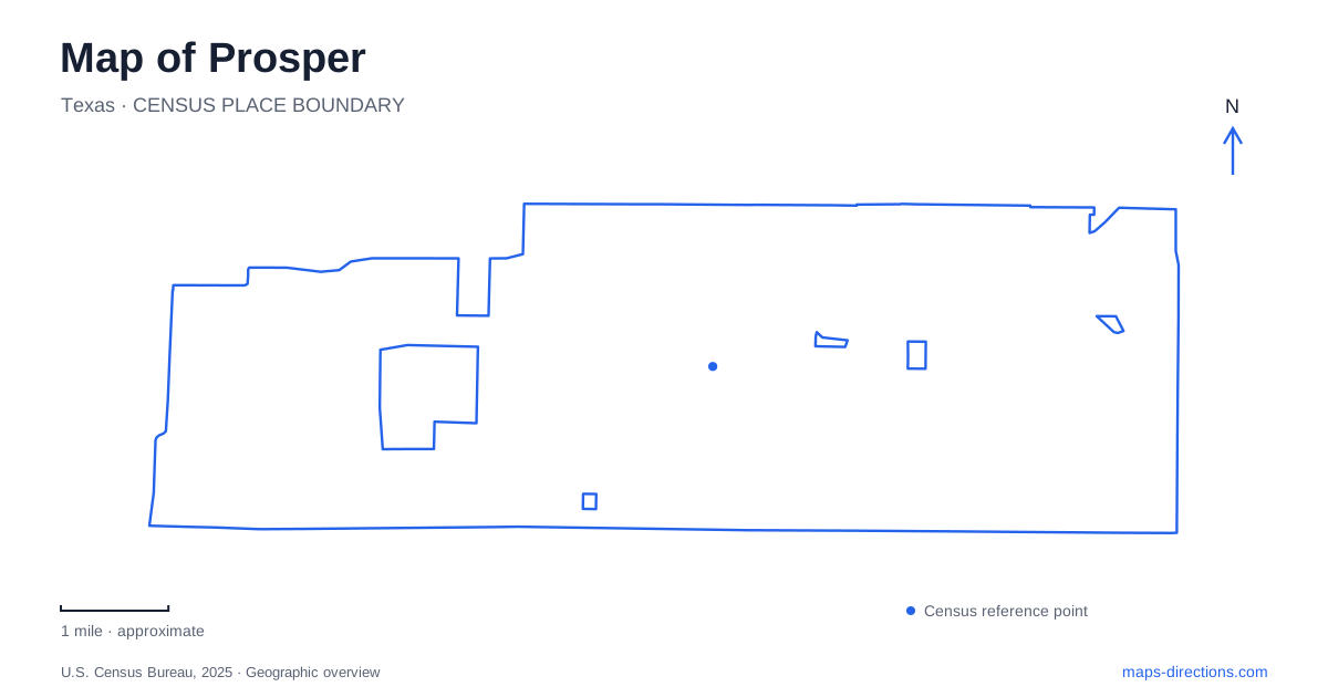
Street tiles load from OpenStreetMap when opened. The blue line shows the 2025 Census boundary.
- State
- Texas
- Population · July 2025
- 45,605
- Land area
- 25.2 sq mi
- Water area
- 0.2 sq mi
Prosper grew where a new railroad drew two earlier settlements toward a common center. Rock Hill lay about two miles south of the present town, while Richland stood roughly a mile north. When the St. Louis and San Francisco Railroad arrived in 1902, the communities came together around the rail stop. That origin gives the older downtown a different geographic story from the surrounding residential growth: the town center was a point of consolidation within an agricultural landscape.
From prairie farms to a railway center
The area’s fertile black prairie soil attracted settlers in the nineteenth century, with cotton among the important crops. Rail transport then connected farmers with larger markets. The town’s own history describes cotton and wheat moving out by train, while churches and civic organizations relocated into the growing settlement.
The name Prosper followed an unsuccessful request to use Richland for the post office because that name was already taken. The replacement referred to a successful crop year. Although the landscape has changed substantially, the name still carries that agricultural association. Incorporation followed in 1914, establishing the municipality after the railway-centered community had taken shape.
This sequence helps explain why the historic center deserves attention alongside the major modern roads. The railway did more than provide a route through the area; it changed where people gathered, traded, worshipped, and established institutions. The older town was formed through movement toward a shared stop rather than simply outward expansion from one of the earlier settlements.
Main Street, Broadway, and the civic core
Main Street and Broadway Street form a key downtown intersection. First Street provides another important local reference, with Town Hall at 250 West First Street. These streets define a compact civic and commercial area whose scale differs from the larger road corridors serving newer development.
A surviving historical landmark is the U.N. Clary house at 209 East Second Street. Built in 1927, it is identified by the town as its first brick home. Its presence adds a residential dimension to downtown history, alongside the older business buildings that have been renovated for contemporary uses.
Prosper’s downtown plans identify future public spaces and coordinated gateways drawing on railroad and agricultural themes. Those plans are useful evidence of the town’s priorities, but they should be understood as a program of change rather than a completed inventory. The established Main–Broadway intersection and the First and Second Street references remain concrete anchors while individual projects advance.
Frontier Park as a large recreation campus
Frontier Park occupies almost 80 acres at 1551 West Frontier Parkway. Its community-built Windmill Playground provides a distinctive local feature within a much larger sports complex. The grounds also contain a pond, a pavilion, a splash pad, and approximately 1.7 miles of hike-and-bike paths.
The sports areas include lighted soccer fields, synthetic-turf multipurpose fields, baseball and softball fields, batting cages, and concession and restroom structures. These facilities give the park a campus-like arrangement: several activities can take place within one broad property, each with its own part of the grounds. The pond and walking paths add uses beyond organized competition.
On a map of Prosper, Frontier Park therefore represents a substantial concentration of recreation rather than a small neighborhood green. Its size and mix of facilities explain why local directions often need a field or playground name in addition to the park itself. The Windmill Playground, sports areas, and water feature are useful internal landmarks.
Two neighborhood approaches to Town Lake
Town Lake is served by parks identified as Greenspoint and Whispering Farms. The Greenspoint location is at 198 Townlake Drive and includes a short hike-and-bike trail, fishing dock, picnic areas, and access for paddlesports. The Whispering Farms location is at 901 Woodview Drive, with a gazebo, fishing dock, parking, and nonmotorized boating access.
Both relate to the same approximately 27-acre lake, but the neighborhood names explain their different street approaches and facilities. This is a meaningful distinction within the local recreation map: two park entries can describe access to one shared body of water rather than two separate lakes.
Prosper’s public spaces connect its older center with the needs of a larger residential community. The railroad origin remains legible in downtown history, Frontier Park concentrates active recreation, and Town Lake connects neighboring park grounds through a common waterfront. Together these places show how agricultural settlement, civic identity, and contemporary neighborhood life occupy the same evolving town.
Map and statistics: U.S. Census Bureau, 2025 Gazetteer, January 2025 generalized place boundaries and Vintage 2025 population estimates. Local references: Town of Prosper. Article prepared by Maps & Directions.