Map of Princeton
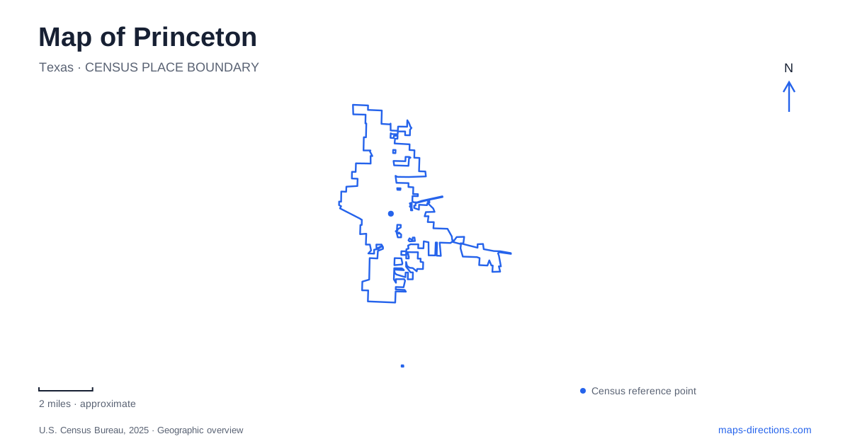
Street tiles load from OpenStreetMap when opened. The blue line shows the 2025 Census boundary.
- State
- Texas
- Population · July 2025
- 43,524
- Land area
- 14.4 sq mi
- Water area
- 0.1 sq mi
Princeton occupies a transition between the US 380 corridor, an older agricultural town center, and the recreation landscape around Lavon Lake. Those settings are connected, but each has a different history and pattern of access. The railroad explains the town's beginnings, a community park preserves the site of a former labor camp, and nearby lake parks provide separate destinations for trails and boating. Together they give the map more substance than a highway label alone.
From Wilson's Switch to a farming center
The city's historical account traces the settlement to farmland owned by the Wilson brothers. In 1881, the Missouri, Kansas, and Texas Railroad extended its Greenville–McKinney line through their property. The place became known as Wilson's Switch, but a conflicting post-office name prompted residents to choose a different one honoring local landowner Prince Dowlin. A post office opened in 1888.
Incorporated in 1912, Princeton served farms in the Blackland Prairie. Mills, elevators, and businesses handled crops including wheat, corn, onions, and sorghum. This commercial role helps explain the older center as a place where agricultural production met transport and services.
The modern US 380 route is therefore only one layer of local movement. A historical reading follows the earlier railway connection and the roads linking surrounding farms with town. It also makes the onion-growing identity more concrete: the crop shaped work, seasonal migration, and the use of land near the center.
Caldwell Park has a labor history
J. M. Caldwell Sr. Community Park, at 500 West College Avenue, occupies the site of a camp built in 1940 for seasonal agricultural workers. Municipal records describe cabins and an elevated water tank serving people who came for the onion and cotton seasons.
In February 1945, the site was converted into a camp for German prisoners of war. The city's park history records agricultural work by prisoners during the following months. This adds a wartime chapter to a landscape already shaped by seasonal labor, rather than making the camp an isolated military site unrelated to the surrounding economy.
On a map of Princeton, the park deserves attention for both its recreational footprint and that earlier use. Current facilities include playing fields, disc golf, trails, and picnic space. These activities occupy ground where housing and services once supported a very different daily routine.
The park is also being improved through a phased bond program. Published concepts for later phases include additional or upgraded recreation facilities, but a conceptual drawing should not be read as a complete inventory of what has opened. Existing park facilities and future project areas belong to different stages of the same site.
Memorial space within the older street grid
Veterans Memorial Park provides a smaller point of reference near the older civic center. The city's park ordinance defines the space between North Front Street, Woody Drive, Third Street, and Fourth Street. Those boundaries place it within an ordinary downtown block pattern rather than on the large recreational grounds of Caldwell Park.
The parks master plan identifies a separate Third Street Park across the road. Their proximity creates a small cluster of public space, but the street remains part of the setting. This is a different scale of recreation from the larger community park: a neighborhood and commemorative landscape fitted into established streets.
Sister Grove and Twin Groves serve different outings
The area east of Princeton includes two similarly named recreation destinations that should be distinguished. Collin County describes Sister Grove Park as a 75-acre trail area between town and Farmersville, adjacent to Lavon Lake. It supports hiking and off-road bicycling on natural-surface trails, with wet-weather closures intended to protect the route.
Twin Groves Park, by contrast, is listed by the US Army Corps of Engineers as a lake-access location with a boat ramp and restrooms. Its published address is 3000 East Highway 380. The names sound related, but one primarily identifies a land-based trail outing and the other a boating access point.
That difference is useful when selecting a destination around the reservoir. A general search for the lake cannot specify whether the intended activity begins at a trailhead, a launch, or a picnic area. The named park supplies the missing geographic detail.
Lake access has its own operational map
Tickey Creek Park lies at a separate reservoir location on County Road 952. Corps pages use both “Tickey” and “Ticky,” an additional naming variation worth recognizing. Erosion and damage can affect access independently of the park's mapped location, so consult the Corps' facility guidance before choosing an entrance or lakeside activity.
For a trip from Princeton, the useful map is consequently a combination of the town's older street network, the highway corridor, and individual reservoir sites. The former rail stop, labor-camp ground, memorial block, natural-surface trails, and boat-access areas each explain a different part of how this community relates to the surrounding agricultural and lake landscape.
Map and statistics: U.S. Census Bureau, 2025 Gazetteer, January 2025 generalized place boundaries and Vintage 2025 population estimates. Local references: City of Princeton; City of Princeton Parks Bond; Collin County; US Army Corps of Engineers. Article prepared by Maps & Directions.