Map of Prescott Valley
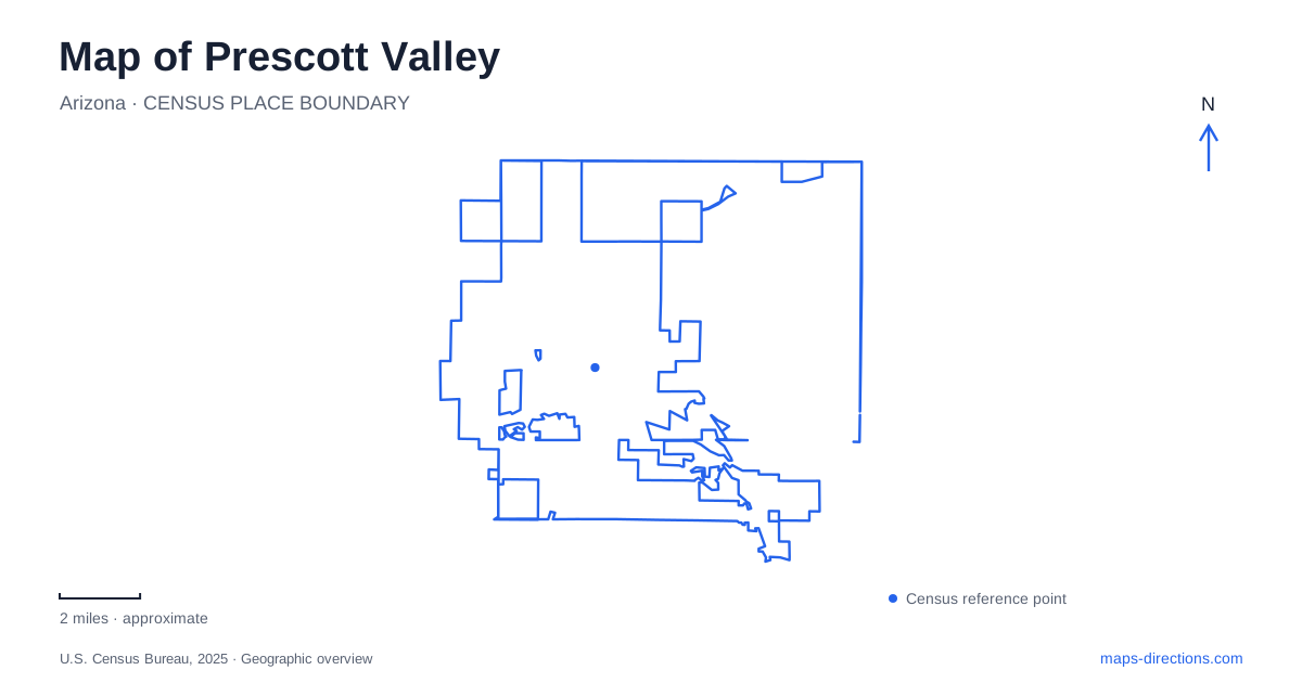
Street tiles load from OpenStreetMap when opened. The blue line shows the 2025 Census boundary.
- State
- Arizona
- Population · July 2025
- 52,423
- Land area
- 40.4 sq mi
- Water area
- 0.0 sq mi
Prescott Valley's outdoor destinations make more sense when the hill, creek, and former railway are treated as separate geographic features. Glassford Hill provides an elevated viewpoint, the Iron King Trail follows an old rail corridor, and Fain Park centers on a landscape shaped by Lynx Creek. Civic buildings and sports grounds add another set of destinations within the developed town. These places offer quite different ways to explore the area, even when a regional map groups them under the same recreation category.
Glassford Hill and the summit approach
Glassford Hill rises beside the town's neighborhoods and provides a prominent orientation landmark. The municipal summit-trail map identifies the trailhead at 6000 East Antelope Lane. The approach through the local streets leads to the designated hiking start; it should not be confused with every road or service track visible on the hill.
The summit route climbs by switchbacks. Its appeal is the changing perspective over the surrounding developed valley and open land, rather than a waterside walk or a shaded forest circuit. A map is particularly helpful for recognizing how the trail gains height while remaining near the town. The hill may appear close to neighborhood streets, but the climb is a separate activity from walking through those streets. The official trail alignment provides the intended way to reach the viewpoint.
Iron King follows a different line
The Iron King Trail connects with the Peavine Trail from the east, using an old railroad bed. Local municipal hiking information describes access from Santa Fe Loop near Glassford Hill Road. This route belongs to the wider trail landscape toward the Granite Dells, making it useful for an outing organized around a corridor rather than a summit.
For a Prescott Valley visit, the distinction between the two trails is important. One climbs the hill; the other follows the former railway toward a junction with another established route. Their proximity does not make them interchangeable starts for the same walk. At the Peavine connection, a planned turnaround or onward destination helps define the outing, since continuing along a linked trail changes the length and direction of the day.
Fain Park and the creek's earlier uses
Fain Park opened in 1997 on land donated by the Fain family. Its lake and paths provide a setting for recreation, while the surrounding history reaches much further back. Lynx Creek supported Indigenous settlement before later mining activity transformed parts of the area. The nearby Fitzmaurice archaeological site is one reminder that the valley's human history predates its modern roads and subdivisions.
Thomas Gibson Barlow-Massicks built his Victorian house here in 1891 and developed mining enterprises associated with the creek. This gives the park a different historical character from the railway trail. The watercourse drew settlement and resource extraction, whereas Iron King recalls the transport network. Historical buildings and archaeological areas should be understood through the park's interpretation and designated public areas; their presence on a map does not mean every surrounding parcel is a visitor route.
A stop at Fain Park adds this creek-based story to a map of Prescott Valley. It also creates a useful contrast with Glassford Hill: the first experience is organized around water and local history, while the second is organized around elevation and broad views.
Civic art around Skoog Boulevard
The Civic Center is at 7501 East Skoog Boulevard. Public sculpture gives the grounds a role beyond municipal business. The local Art at the Center collection includes works along Lakeshore Drive, where the setting allows art to be encountered as part of the public landscape rather than only inside a gallery.
The Not So Gentle Tamer, a bronze pioneer woman by Deb Gessner, was acquired for Arizona's centennial in 2012. Later additions included the Jenkins Obelisk and Sharing the Land. These works provide individual reference points around the campus and another way to explore Prescott Valley between longer outdoor activities. Their subjects also show how civic art interprets local identity through selected stories and symbols.
Sports grounds on Nace Lane
Mountain Valley Park occupies the Robert Road and Nace Lane area. The recreation department lists its athletic fields at 8600 East Nace Lane, with separate field numbers and activity areas. For a scheduled game, that field designation is as useful as the park name because several playing spaces share the same overall address.
Together, the summit trail, railway corridor, creek park, civic grounds, and athletic complex give Prescott Valley a varied map structure. Choosing among them starts with the kind of outing desired. Following the geography behind each destination makes the route more coherent and reveals why these public places developed in different parts of the town.
Map and statistics: U.S. Census Bureau, 2025 Gazetteer, January 2025 generalized place boundaries and Vintage 2025 population estimates. Local references: Town of Prescott Valley; City of Prescott; Sharlot Hall Museum; Prescott Valley Parks and Recreation. Article prepared by Maps & Directions.