Map of Portsmouth
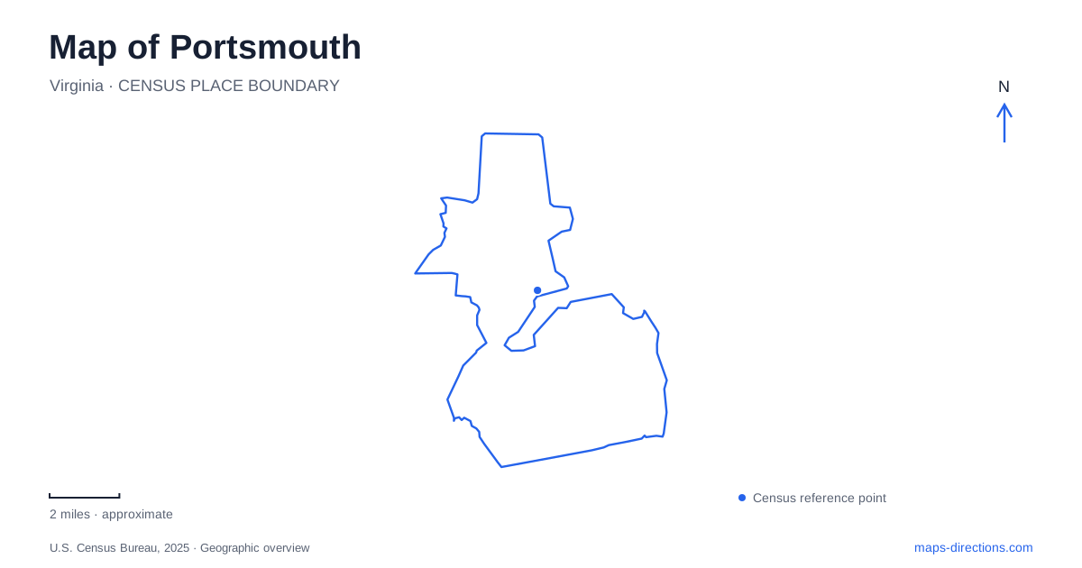
Street tiles load from OpenStreetMap when opened. The blue line shows the 2025 Census boundary.
- State
- Virginia
- Population · July 2025
- 96,777
- Land area
- 33.3 sq mi
- Water area
- 13.4 sq mi
Portsmouth faces the Elizabeth River with a historic street network, museum buildings, and working waterfront connections. Olde Towne is the natural starting point for understanding the center, but the city also extends into neighborhoods with very different landscapes. Churchland contains a substantial wildlife preserve, while Paradise Creek demonstrates restoration within an industrial harbor setting. A useful map connects these districts without reducing the whole city to its riverfront promenade.
High Street organizes an Olde Towne visit
The visitor center at 206 High Street provides a practical starting address for the historic district. Nearby, the Children's Museum of Virginia occupies 221 High Street. Its interactive exhibits, planetarium, and toy-and-train collection give families a substantial indoor destination within the central street network.
The museum's own floor plan identifies High Street, King Street, and Middle Street Mall around the building. That small group of names helps explain how a large attraction fits into the surrounding blocks. It also shows why a downtown visit can combine an indoor activity with time on neighboring streets rather than requiring a separate drive for every stop.
The district's cultural buildings have different histories. The arts and cultural center occupies an 1846 Greek Revival courthouse that served the county until 1960. Its later conversion to galleries and performance uses preserves a civic landmark while giving it a new role. Together, the children's museum and former courthouse show how Olde Towne contains both purpose-led visitor experiences and reused historic architecture.
Maritime history reaches the water's edge
The Naval Shipyard Museum at 2 High Street interprets shipbuilding and the region's maritime and military history. Its location near the river makes the relationship between the exhibits and the wider harbor visible. The museum introduces an industrial story whose scale extends well beyond the historic streets immediately around it.
At London and Water streets, Lightship Portsmouth preserves a different maritime function. A lightship served as a floating lighthouse, stationed where navigational warnings were needed. The vessel is now a museum with period furnishings and maritime artifacts, offering a view of the quarters where a crew lived while carrying out that work.
These two attractions should be understood as complementary. One explains the shipyard and naval context; the other brings a particular working vessel into close focus. Their High Street and London Street locations also help organize a waterfront walk around specific historic subjects rather than an undifferentiated stretch of river scenery.
The river crossing has its own geography
The Elizabeth River Ferry connects Portsmouth with Norfolk, using local landings at High Street and North Landing. Those two names matter when arranging a meeting or planning a connection: they identify separate boarding places along the waterfront.
The ferry's waterfront stops should be matched with HRT's sailing and service information for the intended journey. Dock construction, tidal flooding or a substitute bus can alter the practical connection while the same river crossing remains visible on a map. Harbor Park and Waterside are distinct waterfront references, so use the named boarding point rather than assuming that an older diagram establishes which dock a sailing serves.
The broader geographic relationship remains straightforward: Olde Towne faces another city across a navigable river. That crossing can be part of a regional outing, but it is a transport leg with its own boarding location and operating conditions, not an extension of the pedestrian seawall.
Two nature areas reveal different parts of the city
Paradise Creek Nature Park is at 1141 Victory Boulevard. Its forty acres of restored forest and wetlands occupy a setting close to naval and industrial activity. The creek is a tributary of the Elizabeth River's Southern Branch, and the park demonstrates how damaged urban waterfront land can become habitat and public open space.
Trails pass through meadows, saltmarsh, and coastal oak woodland. An elevated boardwalk and the Osprey Trail provide viewpoints over the wetland, while a floating launch supports paddling access. The industrial surroundings are part of the site's meaning: restoration here takes place within a working harbor landscape rather than far from urban activity.
In Churchland, Hoffler Creek Wildlife Preserve offers another perspective on Portsmouth. The 142-acre preserve at 4510 Twin Pines Road is managed for conservation, education, research, and compatible recreation. Its rules exclude pets, running, bicycling, and fishing, reflecting a focus on wildlife observation and quieter use.
These places complete a more varied map of Portsmouth. High Street gathers museums and civic history, the landings organize movement across the river, Victory Boulevard reaches a restored creek, and Twin Pines Road leads into the Churchland preserve. Each destination reveals a different relationship between the city and its waterways.
Map and statistics: U.S. Census Bureau, 2025 Gazetteer, January 2025 generalized place boundaries and Vintage 2025 population estimates. Local references: Portsmouth Tourism; Children’s Museum of Virginia; City museums; Hampton Roads Transit; Virginia Department of Wildlife Resources; Chesapeake Bay Program; Hoffler Creek Wildlife Foundation. Article prepared by Maps & Directions.