Map of Porterville
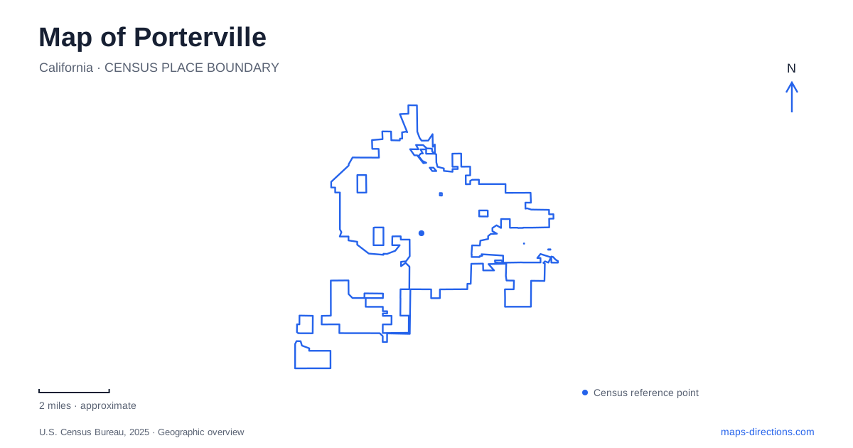
Street tiles load from OpenStreetMap when opened. The blue line shows the 2025 Census boundary.
- State
- California
- Population · July 2025
- 63,088
- Land area
- 18.8 sq mi
- Water area
- 0.1 sq mi
Porterville sits where the eastern San Joaquin Valley approaches the Sierra Nevada foothills. That relationship explains more of its map than a single downtown pin does. The Tule River connects the urban area with Success Lake upstream, while State Route 190 supplies an eastward road connection toward the reservoir. State Route 65 belongs to a different, broadly north–south journey. Reading those two corridors separately helps distinguish a visit within town from an excursion into the foothills, even when both trips appear under the same city name in a search result.
Start with the valley and the foothills
A useful first view of Porterville includes the reservoir as well as the street network. Success Lake is east of the city, rather than a downtown waterfront. The Army Corps of Engineers identifies Highway 190 as its principal road approach. Keep that larger relationship visible before zooming to individual recreation areas; otherwise a pin on the lake can look deceptively interchangeable with one at the dam or a riverside park.
The Tule River is also a way to understand the landscape rather than a road to follow continuously. Its course links the reservoir and agricultural valley, but water, property boundaries and public streets represent different kinds of access. A route that parallels the river on a small-scale map still needs a verified public-road connection at its destination. The city boundary outline above is useful for orientation, not for selecting a riverbank entrance.
Give the highway number a destination
Highway 190 connects the lake approach with Highway 65 and, farther west, Highway 99. Those numbers matter when comparing arrival routes, because a traveler coming from the valley's main north–south highway has a different final approach from someone already traveling along the eastern side. Do not treat the appearance of a familiar highway shield as evidence that the correct exit has been selected.
For a Porterville itinerary, establish whether the first stop is a town address, the college or a named lake facility. Then let that destination determine the local approach. Adding all three as separate saved points makes the changes in trip scale visible: the town stop uses an individual block, the campus uses an entrance and internal map, and the lake requires a particular recreation area. A single broad place search conceals those differences.
The railway depot is an address, not a district
The historical museum occupies the former Southern Pacific passenger station at 257 North D Street. Its own history dates that station building to 1913. This is a helpful fixed landmark when examining the older town, but the former rail function should not be mistaken for a current passenger service. Search for the museum rather than asking a route planner for a generic train station.
At street level, retain both the letter in D Street and its north designation. A small address detail is more useful here than a large tourist-area label. When arranging a meeting, share the museum entrance or agreed nearby parking point, not merely the name of the surrounding historic area. The building provides a clear destination; the broader area still contains many possible arrival locations.
College Avenue requires a campus view
Porterville College lists its address as 100 East College Avenue. That identifies the institution but does not specify every building, sports facility or visitor destination within it. A campus visit is therefore a two-step map task: reach the correct public approach, then locate the particular office, classroom or event entrance on the institution's own plan.
The distinction is especially useful when combining an appointment with another stop in town. A navigation estimate ending at the campus label cannot describe the remaining walk to a building. Keep the appointment location alongside the street address, and confirm the appropriate parking arrangement with the college. This avoids confusing a recognizable campus outline with a complete arrival instruction.
Separate the lake's named facilities
The Corps identifies the Tule Recreation Area and a county-operated Bartlett Park downstream of the dam. Their relationship to the water is different, so neither should be represented by an arbitrary point at the center of the reservoir. A picnic, a campground visit and a boating trip can require different destination selections even though all belong to the same broader lake outing.
Before leaving Porterville for that outing, save the exact facility name and check its current access information. Use the map to compare where the facility sits relative to Highway 190 and the dam, then retain that context as you zoom in. The most reliable reading of this area joins three scales: valley highways for the approach, named local streets for town stops, and individual recreation entrances for the foothills.
Map and statistics: U.S. Census Bureau, 2025 Gazetteer, January 2025 generalized place boundaries and Vintage 2025 population estimates. Local references: US Army Corps of Engineers; Porterville Historical Museum; Porterville College. Article prepared by Maps & Directions.