Map of Portage
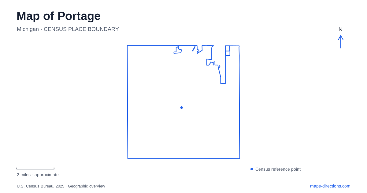
Street tiles load from OpenStreetMap when opened. The blue line shows the 2025 Census boundary.
- State
- Michigan
- Population · July 2025
- 49,862
- Land area
- 32.2 sq mi
- Water area
- 2.9 sq mi
Portage has a landscape in which creek corridors, wetlands, and lakes remain important within the developed city. Celery Flats introduces the agricultural past, the Bicentennial Park trail follows a protected creek basin, and the Air Zoo adds an aviation destination near the airport area. Farther south, West Lake Nature Preserve and Ramona Park offer contrasting experiences beside different bodies of water. The roads connecting them are useful, but the water features explain why these destinations have such different forms.
Garden Lane divides two parts of Celery Flats
Celery Flats is listed at 7335 Garden Lane and forms part of the larger Portage Creek Bicentennial Park. The city describes two distinct settings on opposite sides of the road. North of Garden Lane, a pavilion provides open-air seating, picnic tables, restrooms, and a bicycle air station. South of the lane, the historical area contains relocated and restored buildings used for community events and other gatherings.
This arrangement matters when reading the site. A visit focused on old buildings begins with a different part of the grounds from a picnic or trail stop at the pavilion. The schoolhouse, grain elevator, Hayloft Theatre, and Stuart Manor form an architectural collection rather than an untouched original village. Their relocation brought several aspects of local history into a common public setting, making the site useful for understanding a wider agricultural community.
Celery cultivation and the creek corridor
The city's history connects its nineteenth-century identity with celery growing, prominent enough by the 1880s to produce the nickname Celery City. That background gives Celery Flats a meaning beyond its modern recreation role. The historical interpretation recalls work and cultivation in a landscape that visitors now encounter through paths, restored structures, and open space.
The Bicentennial Park was the city's project commemorating the nation's two-hundredth anniversary. Its linear form follows the creek basin, preserving sensitive land while creating opportunities for walking and cycling. The municipal recreation plan identifies a northern trailhead on Kilgore Road, a Milham Avenue activity area, and Celery Flats as important parts of that corridor. Reading those access areas in sequence helps distinguish a longer green-space system from a conventional park contained inside one rectangular block.
Aviation occupies a two-building campus
The Air Zoo's main Flight Innovation Center is at 6151 Portage Road. The Flight Discovery Center has a separate address at 3101 East Milham Road. The museum publishes a campus map linking the two, so an aviation visit involves more than the galleries in the main building. The different street names reflect the campus arrangement rather than unrelated museums.
Restoration work is a particular reason to include the Discovery Center. The museum describes staff and volunteers working on large aircraft projects in public view, alongside exhibits and hands-on experiences. Some completed aircraft are displayed in different parts of the campus, including the walking route between buildings. That distribution makes the grounds part of the visit. A map can help organize the sequence from the main exhibits to the restoration setting without reducing the institution to a single point.
West Lake's lowland forest and bog
West Lake Nature Preserve is reached at 9001 South Westnedge Avenue. The city's recreation plan describes a wetland bog, lowland forest, nature trails, and lake overlooks. Its public ownership developed in stages, beginning with an initial purchase from the Matteson family in 1979 and later additions. This history of assembled parcels helps explain the preserve as a deliberate conservation project within the city.
The lake frontage, woodland, and wet ground create a different experience from the open historical area at Celery Flats. The mapped trail and viewing structures are ways to observe a sensitive environment rather than evidence that all the surrounding wetland is suitable for walking. For a visit to Portage centered on nature, this preserve offers a setting where water, soil, and vegetation are the principal subjects.
Ramona Park belongs to Long Lake
Ramona Park is at 8600 South Sprinkle Road on Long Lake. Its seasonal beach, playing fields, courts, playground, and picnic facilities make it a more active recreation destination than the wetland preserve. The city also offers seasonal canoe, kayak, and paddleboard rentals. The fishing pier is listed as unavailable with repairs planned, so an older facilities map should not be taken as confirmation that the pier can be used.
Long Lake and West Lake should remain separate anchors when planning this part of the city. One visit may center on beach recreation and sports, while the other follows woodland and wetland trails. Together with Celery Flats, the creek corridor, and the aviation campus, they reveal Portage as a series of connected but distinct landscapes: cultivated ground, protected drainage, museum space, bog woodland, and recreational shoreline.
Map and statistics: U.S. Census Bureau, 2025 Gazetteer, January 2025 generalized place boundaries and Vintage 2025 population estimates. Local references: City of Portage; Air Zoo. Article prepared by Maps & Directions.