Map of Port St. Lucie
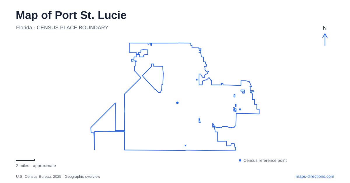
Street tiles load from OpenStreetMap when opened. The blue line shows the 2025 Census boundary.
- State
- Florida
- Population · July 2025
- 268,062
- Land area
- 119.2 sq mi
- Water area
- 1.6 sq mi
Port St. Lucie has several distinct centers of outdoor and community life rather than one waterfront that explains the entire city. The North Fork of the St. Lucie River supports a connected district of gardens, parks and boardwalks. Savannas Preserve protects a separate marsh landscape near the eastern side, while Tradition and McCarty Ranch introduce very different settings to the west. Understanding those contrasts helps place a destination within the larger city before considering an individual street address.
The North Fork and The Port District
The Port District extends about a mile and a half along the North Fork shoreline, with a principal address at 2454 Southeast Westmoreland Boulevard. It brings together the Riverwalk Boardwalk, Pioneer Park, historic buildings, open space and the botanical gardens. The boardwalk is roughly 4,300 feet long, providing a pedestrian connection among parts of the riverfront rather than simply a short viewing platform.
This district gives Port St. Lucie a public gathering landscape organized around a river. Its development builds on earlier boardwalk sections connecting parks, with newer spaces adding play, events and historical interpretation. The river is the common element, but the individual sites retain different functions. A garden visit, a playground outing and a walk along the water may share an area without requiring the same route or amount of time. Westmoreland Boulevard provides a useful street reference for this cluster of destinations.
Gardens and relocated history
The botanical gardens opened in March 2010 and occupy a property of about 21 acres, including wetlands and mangroves. Their address is 2410 Southeast Westmoreland Boulevard. A lake, paved paths, pavilion and themed planting areas create a more composed landscape beside the natural river setting. Highlights include a butterfly garden, orchid room and rose garden.
Nearby historic buildings add another layer to the district. The Peacock House dates to 1917 and the Peacock Lodge to 1952. Their relocation and preservation bring earlier local history into the public riverfront setting. The difference between the two dates is useful: they represent separate periods of domestic and recreational use rather than one uniform historic village. Together with the gardens, these structures give Port St. Lucie a place where landscape, local memory and contemporary public activity meet.
Savannas Preserve protects a basin marsh
Savannas Preserve State Park protects an example of the basin marsh landscape that once extended more widely through southeastern Florida. Its main listed address is 2541 Southeast Walton Road. The park contains a broader network of trails and wetland recreation areas, with additional access associated with Jensen Beach Boulevard, Hawks Bluff and Evans Creek.
This is a different water environment from the North Fork riverfront. The marsh landscape is understood through habitat, water levels and routes across relatively low ground, rather than a continuous urban boardwalk. It is also a place where access can vary substantially. Construction and wet conditions have affected the Walton Road area and Canoe Launch Road, so current park notices are important when selecting an outing. A general trail line on a map does not establish that every access is available on the day of a visit.
The preserve's value lies in retaining habitat within a region changed by suburban development. Its open-water and vegetated wetland settings provide a counterpoint to the planted collections of the botanical gardens. Both offer contact with plants and wildlife, but one is a protected marsh system and the other a managed garden landscape.
Tradition's planned town center
Tradition occupies a western part of Port St. Lucie and is organized as a master-planned community. Its town square, town hall, lawn and lakeside fountain create a deliberately composed center for gathering, shopping and events. The developer's listed contact address is on Southwest Tradition Square.
The small-town appearance should be understood as a modern planning choice. It differs from an older downtown that gradually accumulated around a port or railway station. Here, the square and surrounding uses were designed to create a recognizable community focus. That makes Tradition another useful anchor on the city map, distinct from both the riverfront district and the natural preserves.
McCarty Ranch's inland scale
McCarty Ranch Preserve spans about 3,107 acres west of Interstate 95, with access at 12525 Range Line Road south of Glades Cut Off Road. Its lakes, formed through former mining activity, cover more than 300 acres. The city acquired the property in 2012 for a combination of water-supply purposes, conservation and compatible recreation.
Pinelands, cleared trails and designated paddling areas create a much larger landscape than the compact public spaces elsewhere in Port St. Lucie. The preserve's utility role also distinguishes it from a conventional park. Read together, the North Fork district, eastern marsh, planned square and inland ranch demonstrate how public life occupies several different relationships with water and land across the city.
Map and statistics: U.S. Census Bureau, 2025 Gazetteer, January 2025 generalized place boundaries and Vintage 2025 population estimates. Local references: City of Port St. Lucie; Port St. Lucie Historical Society; Florida State Parks; Visit St. Lucie; Mattamy Homes / Tradition. Article prepared by Maps & Directions.