Map of Pompano Beach
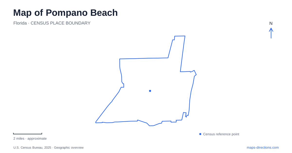
Street tiles load from OpenStreetMap when opened. The blue line shows the 2025 Census boundary.
- State
- Florida
- Population · July 2025
- 117,211
- Land area
- 24.1 sq mi
- Water area
- 0.6 sq mi
Pompano Beach has two especially useful reference lines: Atlantic Boulevard across the city and the older railway corridor beside Dixie Highway. Together they explain why the historic commercial center sits inland while the fishing pier and oceanfront form a separate destination. A third layer survives in the agricultural history of Sample Road and the Sample-McDougald House. Reading these places together gives the map a chronology as well as a street pattern: farms and rail commerce, civic expansion, and a developed Atlantic shoreline.
The original center beside the railway
Old Town occupies the area north of Atlantic Boulevard and east of the Florida East Coast Railway. Flagler Avenue was its principal commercial street. City Hall lies south of Atlantic, so the boulevard separates the older business blocks from the civic complex. This arrangement makes Atlantic a useful starting line for locating downtown addresses, with the railway providing a second boundary rather than an arbitrary landmark somewhere in the distance.
The relationship between Dixie Highway and the tracks matters because both belonged to the transportation framework that supported early settlement. Downtown did not originate around the modern beachfront. A map of Pompano Beach therefore becomes clearer when the inland commercial district is considered on its own terms. Flagler and the adjacent blocks represent the historic town center, while an eastward journey along Atlantic leads toward a different landscape of water crossings and coastal destinations.
For a compact historical outing, keep the Old Town blocks together before adding the shore. That sequence follows the city's development and avoids treating every attraction as part of a single beach district. It also lets the street names do useful work: Atlantic identifies the cross-city connection, Dixie identifies the old transportation corridor, and Flagler identifies the original commercial focus.
The pier and the inlet describe different coastal settings
The Fisher Family Pier is at 222 North Pompano Beach Boulevard. The surrounding Fishing Village places restaurants and visitor activity around the pier, while the public beach includes facilities such as showers, restrooms, picnic areas, and a playground. This is the ocean-facing part of the map, suited to an outing organized around the beach and the pier rather than the historic inland blocks.
Farther along the coast, Hillsboro Inlet introduces a different geographical function. It provides a passage between the Atlantic and the Intracoastal Waterway. Boats, channel water, and the lighthouse give this location a maritime character distinct from the open beachfront. The lighthouse first operated in 1907, filling a gap between the lights at Jupiter and Cape Florida and helping mariners negotiate offshore hazards. Its position is a response to coastal navigation, not to the placement of a modern visitor district.
The preservation society's museum is at Roy L. Rogers Family Park, also called Hillsboro Inlet Park, at 2700 North Ocean Boulevard on A1A. That address is useful when comparing museum information with lighthouse tour information: the society describes the museum and the tower tours separately. On a Pompano Beach map, use the park as the museum destination and examine the society's tour arrangements before planning a tower visit. The inlet is both a scenic landmark and a working water connection, which explains the concentration of maritime interpretation here.
A farmhouse that traveled through the street network
The Sample-McDougald House brings the agricultural landscape back into view. Built in 1916 beside Dixie Highway and the railway, it served farming operations that extended across what became heavily developed land. Sample Road began in 1917 as a way to reach scattered fields. Its name therefore preserves an agricultural connection that is difficult to recognize from today's urban map alone.
The house itself moved in 2001, traveling south along Dixie and east along NE 10th Street. Its present address is 450 NE 10th Street at Centennial Park. The building's history and its present location describe different stages of the same place, rather than two surviving houses. The park setting now supports tours and gatherings, while the museum retains the story of the earlier farm property.
For visitors exploring Pompano Beach beyond the shoreline, this is a useful third stop after Old Town and the inlet. The museum provides a ramp and lift to the first floor; the second floor is reached by stairs, with photographs displayed downstairs. Those practical details make the historic building easier to include in a real itinerary. Together, the railway district, working inlet, and relocated farmhouse reveal a city shaped by movement across land and water long before its contemporary beach facilities.
Map and statistics: U.S. Census Bureau, 2025 Gazetteer, January 2025 generalized place boundaries and Vintage 2025 population estimates. Local references: City of Pompano Beach; Hillsboro Lighthouse Preservation Society; Sample-McDougald House. Article prepared by Maps & Directions.