Map of Pomona
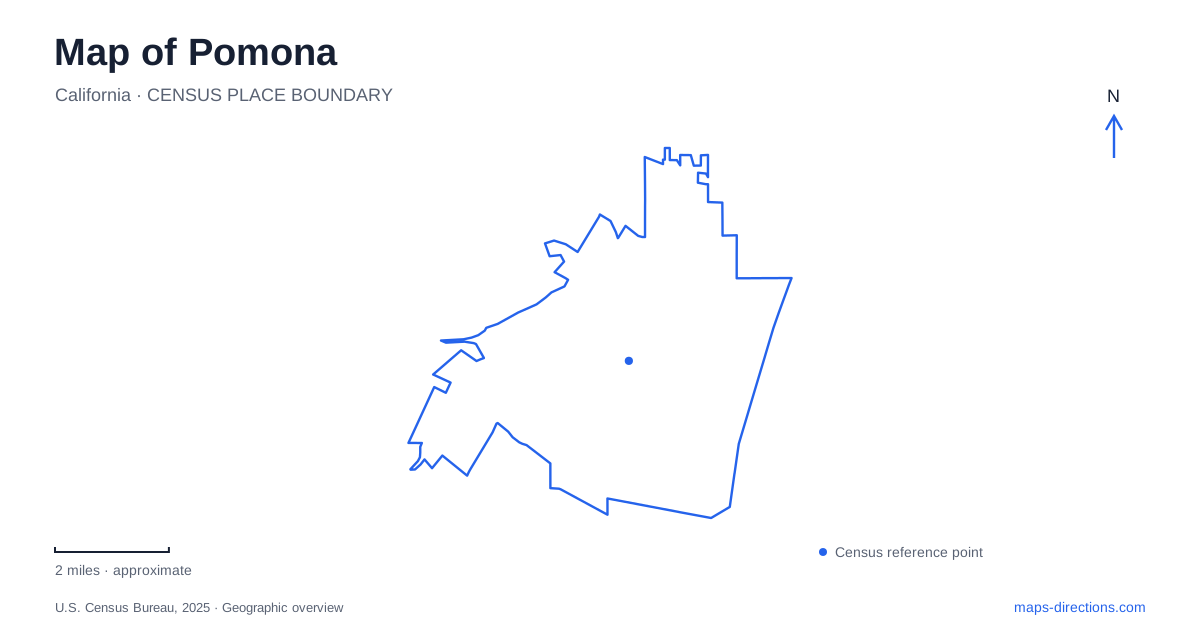
Street tiles load from OpenStreetMap when opened. The blue line shows the 2025 Census boundary.
- State
- California
- Population · July 2025
- 147,807
- Land area
- 23.0 sq mi
- Water area
- 0.0 sq mi
Pomona contains several places that attract visitors for very different reasons: a downtown arts district, a northern rail interchange, the Fairplex event grounds and a university landscape with agricultural roots. Their common city name can hide important differences in location and scale. Downtown is read through streets and reused buildings; the other major destinations require attention to campuses, platforms or event spaces. A useful first map keeps those settings visible as separate parts of the city.
Downtown's arts identity grew through reuse
The Arts Colony's own history describes several stages in the renewal of downtown. Millard Sheets redesigned ten blocks in 1962 with sculpture, mosaics and Modernist architecture. Artists began another mural initiative in 1977, helping establish the collective that became the dA Center for the Arts. Later redevelopment adapted historic properties for galleries, lofts and music venues.
Municipal recognition of the Arts Colony followed in 1994. The history is geographically useful because it describes a district of many blocks and buildings, rather than one arts center with a single entrance. The public art, studios and performance spaces belong to the surrounding downtown street pattern.
That pattern makes building names and street addresses especially informative. A gallery visit, a concert and a walk looking at architecture may involve nearby blocks, but they remain different activities. The district label identifies a shared cultural setting; the individual venue identifies the actual destination within it.
The two railway locations are not interchangeable
Pomona North is listed by Metrolink at 205 Santa Fe Street. The operator identifies access from Santa Fe near Garey Avenue and places the Metro A Line platform on the northern side of the station, toward Garey. Metro's extension opening in September 2025 added the A Line connection at this northern rail location. The interchange joins different rail services at one site.
Pomona Downtown, by contrast, is listed at 101 West First Street. Foothill Transit identifies the downtown transit center through its Commercial Street address and describes a hub for several bus operators and rail connections. The downtown names refer to a different location from the northern interchange, even when both appear in a search for the city's train service.
This distinction is more useful than assuming that a rail arrival automatically places someone in the Arts Colony. Select the station associated with the intended route and destination. At the northern interchange, Metro and Metrolink also retain distinct boarding areas and ticket systems; a shared station setting does not turn the two operators into one service.
Fairplex has the scale of an event campus
Fairplex's history begins with an organization founded in 1922 to support agriculture, horticulture, commerce and industry. Its event grounds have hosted the Los Angeles County Fair since that period. The operator describes a campus extending over hundreds of acres, which is a fundamentally different scale from a downtown gallery block.
The public address on West McKinley Avenue identifies the wider property. Within it, an exhibition, performance or agricultural activity may use a particular venue and event arrangement. Reading the campus map alongside the event's own directions is therefore part of identifying the destination, not merely a final parking detail.
The agricultural origin also helps connect Fairplex with the wider history of the area. Large open grounds and specialized event buildings explain a land-use pattern that cannot be interpreted as an ordinary residential neighborhood. The site's current calendar and a historical account of the fair serve different purposes; a familiar annual event name does not establish what is taking place on an arbitrary visit date.
Kellogg Ranch gives the university another landscape
Cal Poly Pomona includes AGRIscapes at Kellogg Ranch, where the university identifies a working farm, a visitor center, a children's garden and a farm store. Its published address is 4102 South University Drive. Those names reveal an educational landscape involving cultivation and public interpretation as well as conventional teaching buildings.
The university distinguishes registered school field trips from general public visits. It asks public visitors to remain on paved areas and notes that the working-farm environment includes uneven terrain. These details explain why a campus overview is only the beginning of understanding the site. A farm program, a prospective-student tour and an academic appointment require different destinations within the larger institution.
A map of Pomona is most informative when these settings are read together without merging them. The Arts Colony tells a story of downtown reuse, the northern station adds a regional interchange, Fairplex retains the scale of agricultural exhibition grounds, and Kellogg Ranch makes cultivation part of university life. Their contrasting forms explain much of what a visitor sees on the local map.
Map and statistics: U.S. Census Bureau, 2025 Gazetteer, January 2025 generalized place boundaries and Vintage 2025 population estimates. Local references: Pomona Arts Colony / Arteco Partners; Metrolink; Los Angeles County Metropolitan Transportation Authority; Foothill Transit; Fairplex; California State Polytechnic University, Pomona. Article prepared by Maps & Directions.