Map of Pocatello
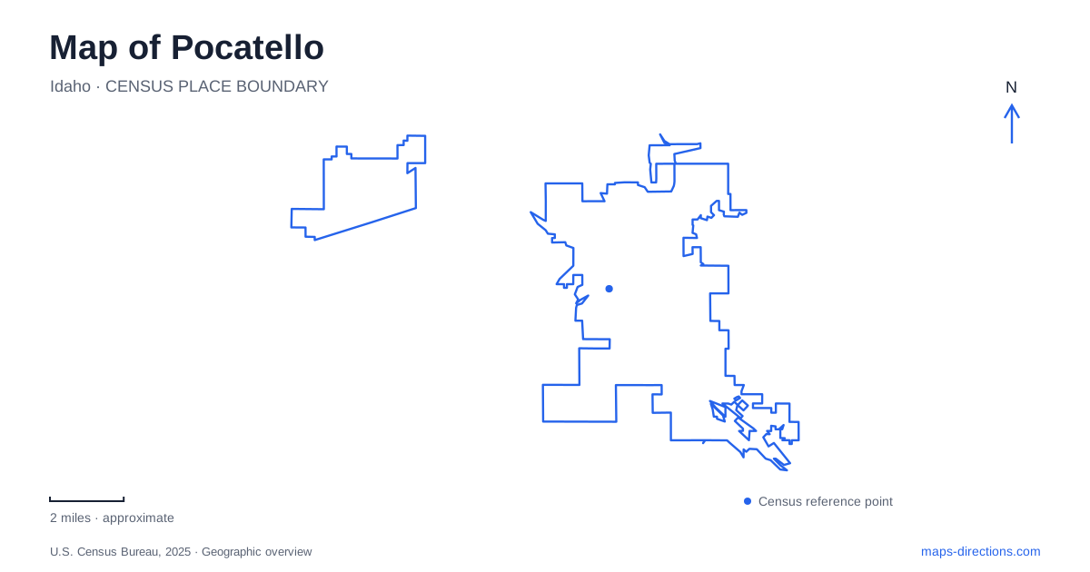
Street tiles load from OpenStreetMap when opened. The blue line shows the 2025 Census boundary.
- State
- Idaho
- Population · July 2025
- 58,771
- Land area
- 34.8 sq mi
- Water area
- 0.2 sq mi
Pocatello's map brings a historic commercial district, a river corridor, a university campus, and foothill trails into one urban landscape. These settings have different scales. Downtown is best understood through individual blocks and storefronts, while City Creek requires a trail map showing slopes and junctions. The Portneuf Greenway helps connect the idea of the city to its watercourse, and Ross Park provides another substantial recreation destination along South Second Avenue.
Downtown's stone buildings and neon signs
The historic downtown contains turn-of-the-century stone buildings, original and restored neon signs, galleries, and shops. Lookout Point at Simplot Square is listed at 435 West Center Street, giving the district a recognizable public-space anchor. Station Square, at 200 South Main Street, supplies another address within the commercial setting.
These two streets are useful references for an initial downtown walk. They give a more concrete sense of the area than a broad “Old Town” label, especially when comparing a gathering at Lookout Point with a visit to a business on Main. The visitor bureau also identifies access to the Portneuf Greenway from the downtown area, allowing an urban walk to include a different landscape.
A map of Pocatello can therefore be read as an invitation to move between built history and the river rather than choosing only one. The older stone frontage and neon signs reward attention at sidewalk level. The greenway opens the frame outward toward the water and the longer shape of the valley.
City Creek changes the scale of an outing
The City Creek trail system begins a different kind of exploration. The published trail map identifies the lower creek route between the Grant Street parking area and Bridge 10, with the upper portion continuing toward Kinport Road. Numbered bridges provide unusually helpful landmarks along a natural corridor where conventional street addresses no longer apply.
The main creek trail winds along the water, while connecting routes spread onto the surrounding slopes. Bench Trail offers an alternative alignment, and the Bump Trail connects toward Cusick Creek. The names describe a network with choices rather than one uniform path. A short lower-creek walk and a route continuing toward Kinport are consequently different undertakings in both extent and terrain.
For Pocatello visitors accustomed to paved urban trails, the map's distinction between singletrack and roads is important. Rocks, roots, and steep sections are documented on the creek route. The trail map also distinguishes land ownership and designated connections, reflecting a landscape that includes public land and permitted passage across private property. Staying on the mapped routes preserves the access that makes this edge of town useful.
Natural history on the university campus
The Idaho Museum of Natural History is at 698 East Dillon Street on the Idaho State University campus. Its visitor directions approach Dillon from Fifth Avenue and identify designated museum parking in the G01 lot. That street relationship supplies a clear point of entry into the campus setting without requiring a visitor to understand the entire university beforehand.
The museum's work covers anthropology, earth sciences, and life sciences. Its collections include fossils, rocks and minerals, and specimens representing living organisms. These are research holdings as well as resources for public learning, so the full collection should not be confused with whatever is on display during a particular visit.
This institution gives Pocatello an indoor way to explore the landscapes surrounding it. A trail walk introduces rocks, plants, and terrain directly; natural-history interpretation supplies another scale of understanding, extending into fossils and human history. Pairing those experiences can make a visit more coherent than treating the museum merely as a substitute activity when outdoor plans change.
Ross Park along South Second Avenue
Ross Park Aquatic Complex stands at 2901 South Second Avenue. The city places it within a recreation neighborhood that also includes Zoo Idaho, the Pleasureland playground, a band shell, and a sand volleyball court. The cluster supports several kinds of visit, from an animal-focused outing to a picnic or seasonal swimming.
The aquatic complex contains a main pool, activity pool, lazy river, water slides, and a zero-depth pool with play equipment. It operates seasonally, so those facilities should be understood as summer amenities within a broader park setting. The zoo and other grounds retain their own arrangements rather than sharing the swimming complex's operating calendar.
Taken together, these places give Pocatello a varied local itinerary grounded in named streets and terrain. West Center and South Main organize the historic district; Grant Street leads into the creek trail network; Dillon Street anchors the campus museum; and South Second Avenue identifies Ross Park. The progression moves from storefronts to foothills, research collections, and neighborhood recreation without assuming that each setting offers the same kind of experience.
Map and statistics: U.S. Census Bureau, 2025 Gazetteer, January 2025 generalized place boundaries and Vintage 2025 population estimates. Local references: Visit Pocatello and Chubbuck; City of Pocatello / Visit Pocatello; Idaho State University; City of Pocatello. Article prepared by Maps & Directions.