Map of Plymouth
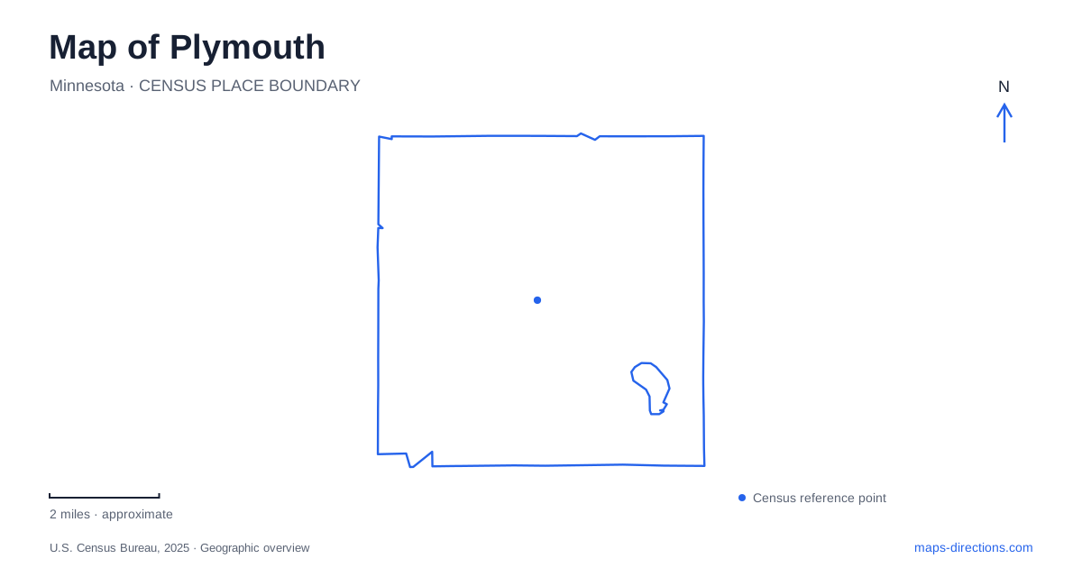
Street tiles load from OpenStreetMap when opened. The blue line shows the 2025 Census boundary.
- State
- Minnesota
- Population · July 2025
- 78,942
- Land area
- 32.7 sq mi
- Water area
- 2.6 sq mi
Plymouth's lakes and wetlands provide a strong framework for understanding its public spaces. Medicine Lake supports regional recreation, Parkers Lake combines a beach with nearby playfields, and the Northwest Greenway preserves a broader corridor of woodland and wetland habitat. The civic area adds a different collection of destinations: an outdoor performance center, ice facilities, a community center, and gardens. These places reveal a city whose gathering spaces are distributed across several distinct landscapes.
Medicine Lake and the regional park
French Regional Park is reached from 12605 Rockford Road at the northern side of Medicine Lake. Its visitor center, play area, swimming beach, boat facilities, and trails make it a substantial recreation destination. The park map shows named trail areas such as Moraine, Skyview, and Shady Ridge, along with both paved and unpaved routes.
The park also connects with the Medicine Lake and Bassett Creek Regional Trails. That position makes it a meeting point between a self-contained park outing and travel through a larger trail system. The lake shore, visitor facilities, and connecting routes each serve a different purpose, even though they appear together within the same broad recreation area.
Municipal parks occupy other parts of the shoreline. East Medicine Lake Park is at 1740 East Medicine Lake Boulevard, while West Medicine Lake Park is at 1920 West Medicine Lake Drive. These locations broaden access around the water rather than concentrating every visit at French. The lake's extent is therefore best understood through its different shore approaches and adjoining roads.
A civic landscape behind the street frontage
The Hilde Performance Center stands at 3500 Plymouth Boulevard, behind City Hall. Its glass-backed bandshell opens views toward the wetlands beyond the stage, making the landscape part of the performance setting. Trees can partly conceal the facility from the street, while paths from the civic parking areas and boulevard lead into the natural amphitheater.
The Ice Center occupies 3650 Plymouth Boulevard, placing another major public activity near the civic buildings. Outdoor concerts and indoor ice sports create very different experiences within the same broader district. Their proximity helps explain why this area functions as a public center even without the continuous storefront pattern associated with an older downtown.
At 14800 34th Avenue North, the community center shares its grounds with Millennium Garden. Flower beds, fountains, paths, and a labyrinth give the garden a deliberately composed character. It is a smaller and more formal landscape than the regional park or greenway, suited to strolling and events around the community building. The contrast between designed gardens and nearby natural wetlands is an important part of the civic area's identity.
Old Town Hall preserves an earlier civic chapter
Old Town Hall stands at 3605 Fernbrook Lane North. Built in 1885 as a municipal building, it now houses the history center, with exhibits, photographs, models, and research material. Its address places the interpretation of earlier community life within the modern recreation and civic landscape.
The historical collections describe Plymouth's transformation from farmland to suburb, including the development of roads and lakeside resorts. Medicine Lake was already drawing visitors in the nineteenth century, long before the present regional recreation system. This history connects today's outdoor destinations with an earlier period when the same waterbody helped shape local travel and settlement.
The old municipal building also offers a useful counterpoint to the larger contemporary facilities. It represents a much smaller community and a different scale of public administration. Reading the two civic settings together makes the city's development more visible than looking only at its present road network.
Parkers Lake and the northwest wetlands
Parkers Lake Park is at 15205 County Road 6. A beach, boat launch, playground, picnic facilities, and stage support a mixture of lakeside activity. The separately listed Parkers Lake Playfield is at 15500 County Road 6. The two addresses identify different parts of the recreation landscape along the same road, with the lake park emphasizing shoreline use and the playfield serving organized activity.
The Northwest Greenway offers a larger preserved setting. Its approximately 350 acres extend from the Lake Camelot area toward the pavilion and challenge course at 5250 Peony Lane. Paved trails, wooded areas, and wetlands form the main landscape, with boardwalks near the pavilion overlooking the Elm Creek wetlands.
A pedestrian bridge over Vicksburg Lane links portions of the greenway without requiring trail users to follow the roadway through that crossing. This physical connection helps the preserved land function as a corridor across neighborhoods. Along with the lake parks and civic grounds, it shows how Plymouth's public map is built from both individual destinations and continuous routes through the landscape.
Map and statistics: U.S. Census Bureau, 2025 Gazetteer, January 2025 generalized place boundaries and Vintage 2025 population estimates. Local references: Three Rivers Park District; City of Plymouth; City of Plymouth History Center; Hello Plymouth municipal tourism. Article prepared by Maps & Directions.