Map of Plantation
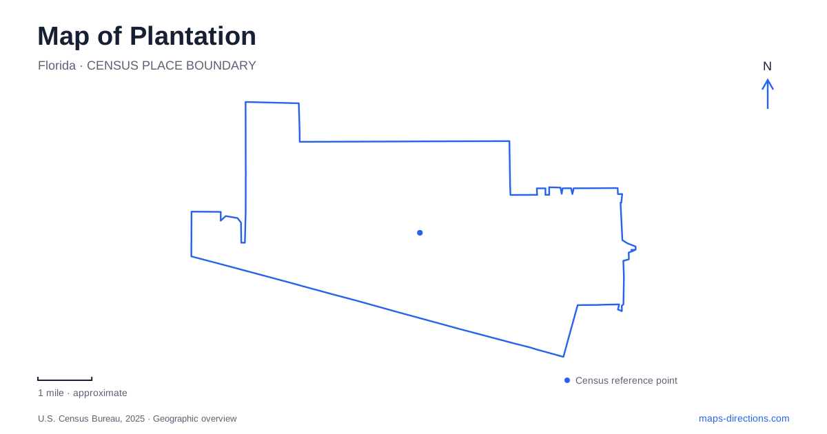
Street tiles load from OpenStreetMap when opened. The blue line shows the 2025 Census boundary.
- State
- Florida
- Population · July 2025
- 99,183
- Land area
- 21.8 sq mi
- Water area
- 0.3 sq mi
Plantation's public spaces form several distinct clusters rather than one downtown park district. Fig Tree Lane links gardens and a county park, Broward Boulevard identifies the golf-course landscape and its public trail, and Northwest Second Street leads to Central Park's recreation facilities. These street references reveal a city where botanical collections, sports infrastructure, and historical land uses remain visible within the suburban road network. A useful map keeps their individual names and access points separate.
Fig Tree Lane and the botanical garden
The arboretum and botanical garden is at 501 North Fig Tree Lane. Its design uses a central path and a winding secondary route to organize groves of palms, flowering trees, fruit trees, and larger specimens. The city describes more than fifty species of trees and palms from Florida and elsewhere, making this a collection arranged for observation rather than simply a patch of landscaped open space.
A windharp by artist Ross Barrable adds another distinctive feature. Wind moving through its strings produces the sound, so the sculpture's setting and the weather are part of its effect. The garden's structure is therefore both botanical and artistic, with the routes through the groves providing the framework for experiencing it.
The municipal multi-use recreational trail passes through the garden. At the western end, a steel bridge connects toward the Northwest Fifth Street and Northwest Sixty-fifth Avenue trailhead. For walking or cycling in Plantation, this connection is useful because the garden is part of a wider path network, not solely a destination reached from its Fig Tree Lane address.
A county park south along the same road
Plantation Heritage Park is at 1100 South Fig Tree Lane. The north-versus-south distinction in these addresses matters: the botanical garden and Heritage Park are different properties along the same named road. The county park offers a lake landscape, walking trail, rare-fruit grove, disc golf, picnic shelters, and Heritage Hall.
Its history includes the Peters family's agricultural land and an experimental station used for citrus-blackfly research. The former family outdoor kitchen survives as the Duck Pond Gazebo. This gives a small structure within the recreation grounds a historical significance that would be easy to miss on a map showing only the lake and picnic areas.
The property opened as a regional park in 1984. Heritage Hall represents another stage in its development, following renovation of the earlier Fountain Room. These layers explain why the site combines everyday recreation with buildings and planting areas that preserve earlier uses. The lake, gazebo, hall, and fruit grove provide more precise internal landmarks than the broad park outline alone.
The public trail through the golf landscape
Plantation Preserve Golf Course and Club is at 7050 West Broward Boulevard. Its 1.1-mile linear recreation trail passes through the golf-course and wetland setting, offering a route for walking, jogging, cycling, and inline skating. The trail should be understood as a defined public corridor through the property rather than permission to roam the playing areas.
There are two trailheads: one near Seventieth Avenue and Broward Boulevard, and another off East Tropical Way. Parking is available at the golf-course lot for trail and playground users, while the southern entrance has no parking. This produces an important difference between a pedestrian access point and a place to leave a vehicle.
Interpretive signs occur at the trailheads, at several stops, and at a Tequesta burial mound. The mound introduces a much older historical layer than the surrounding recreation development. Keeping to the established trail respects that context while allowing the wetlands and interpretation to remain part of an ordinary neighborhood walk.
Central Park is the sports and aquatics cluster
Central Park's recreation and aquatics facilities use the address 9151 Northwest Second Street. The multipurpose building contains a basketball gymnasium and classrooms, while the aquatic complex has two outdoor training pools and a diving well. A route to a class, swim session, or meeting may therefore end at a different part of the same larger complex.
The city's aquatics information also describes an outdoor track around the park lake. That relationship distinguishes the lake loop from the swimming facilities: the pools are purpose-built aquatic venues, while the lake provides the setting for walking and fitness. Both may appear as water features on a map, but they serve different activities.
Another community center stands at 5555 Palm Tree Road, with meeting rooms and a kitchen supporting local gatherings. It is separate from the Northwest Second Street facility. These repeated civic functions across different addresses explain why searching for a generic community center can be less useful than retaining the specific road and building name.
The clearest map of Plantation therefore follows a few concrete relationships: the botanical garden's bridge into the trail system, Heritage Park farther south on Fig Tree Lane, the Broward Boulevard trail with unequal parking at its two ends, and the Central Park sports campus. Each reveals a different part of the city's public landscape.
Map and statistics: U.S. Census Bureau, 2025 Gazetteer, January 2025 generalized place boundaries and Vintage 2025 population estimates. Local references: City of Plantation; Broward County. Article prepared by Maps & Directions.