Map of Plano
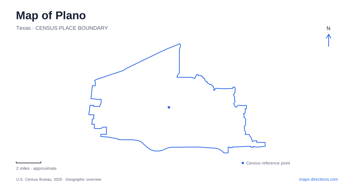
Street tiles load from OpenStreetMap when opened. The blue line shows the 2025 Census boundary.
- State
- Texas
- Population · July 2025
- 293,028
- Land area
- 71.7 sq mi
- Water area
- 0.4 sq mi
Plano's development is visible in places that represent several different ways of using the land. A railway station and preserved rail car explain the old downtown's regional connections. A Victorian farmstead recalls agriculture on the Blackland Prairie. Farther west, the Legacy area reflects later commercial development, while preserves and greenbelts follow natural and infrastructure corridors across the city. Reading these layers together gives a more useful picture than treating the whole municipality as one undifferentiated suburb.
The railway story at Haggard Park
The Interurban Railway Museum occupies the former station used by the Texas Electric Railway between 1908 and 1948. Beside it stands Car 360, built in 1911 and initially known as Car 11. The vehicle received its present number in 1914, then was converted from passenger service into a Railway Post Office in 1932. It carried both mail and people along the northern part of the system, between Denison and Dallas.
The car's position outside the station is especially meaningful because it stands where passengers would once have boarded. The site shows how communication and transport overlapped: the same network moved residents, correspondence and newspapers between communities. Today's museum can be reached from the DART station by walking west into Haggard Park. Historic and contemporary rail travel thus remain close together in downtown Plano, although they belong to different systems and periods. The museum's electricity exhibits add another way to understand the technology behind the earlier railway.
A farmstead beyond the commercial center
Heritage Farmstead Museum, at 1900 West 15th Street, preserves a four-acre setting associated with a much larger agricultural property. The Victorian house was built in 1891 by Hunter Farrell for his wife Mary Alice and their daughter Ammie. The house and its outbuildings once formed the center of a 360-acre farm, later operated by Ammie.
The contrast between those acreages is important. A visitor now encounters a preserved core of buildings rather than the entire working landscape that originally supported them. The museum interprets late nineteenth- and early twentieth-century rural life through its buildings, artifacts and educational activities. This gives Plano a tangible connection to Blackland Prairie agriculture, even where the surroundings have changed. The farmhouse is not simply an isolated old residence; its meaning comes from the labor, production and family life of the larger farm to which it belonged.
Legacy's separate geography
Legacy West is organized around the Dallas North Tollway and Sam Rayburn Tollway area, with Legacy Drive and Headquarters Drive appearing prominently on local planning maps. Its listed visitor address is 5905 Legacy Drive. This road framework places it in a different part of the city from the older railway district.
Nearby Legacy North has its own listed address on Lone Star Drive and combines dining, shopping and residential uses. The repeated Legacy name can make different destinations sound interchangeable, but the street addresses reveal their separate positions. For a visit to Plano, this is a useful example of why district names and individual business addresses work together. The broader area provides context; the actual street determines the final destination. Its modern mix of uses also offers a clear contrast with the farmstead and former interurban station, which interpret earlier patterns of work and movement.
Preserves at different scales
Arbor Hills Nature Preserve occupies about 200 acres on the western border of the city. Oak Point Park and Nature Preserve is much larger, at roughly 800 acres, bounded broadly by Parker Road, Chaparral Road, Spring Creek Parkway and Los Rios Boulevard. These are separate open-space anchors, not two entrances to the same natural area.
Their sizes and positions make them useful reference points when comparing parts of Plano. Arbor Hills introduces a western preserve landscape; Oak Point occupies a substantial eastern tract with several surrounding roads. Choosing between them is partly a geographic decision because the rest of an outing may be organized around a different side of the city. The road boundaries around Oak Point also communicate its scale more clearly than a single point symbol on a map.
Trails reveal another framework
Several greenbelts follow routes that differ from ordinary streets. Bluebonnet Trail uses a power-line easement and parts of the Spring Creek Parkway and Chase Oaks Boulevard corridors, linking with Chisholm Trail and Preston Ridge Trail. Legacy Trail follows White Rock Creek, while Cottonwood Creek Greenbelt forms part of an eastern regional connection between Richardson and Allen.
These alignments reveal how utility corridors and waterways help organize recreation. They also connect the city's story back to its landscape: farming, rail travel, modern commercial districts and open-space routes each use different geographic structures. A map becomes more informative when those structures are read together, rather than when every destination is reduced to a shopping or parking location.
Map and statistics: U.S. Census Bureau, 2025 Gazetteer, January 2025 generalized place boundaries and Vintage 2025 population estimates. Local references: Visit Plano; Interurban Railway Museum; City of Plano. Article prepared by Maps & Directions.