Map of Plainfield
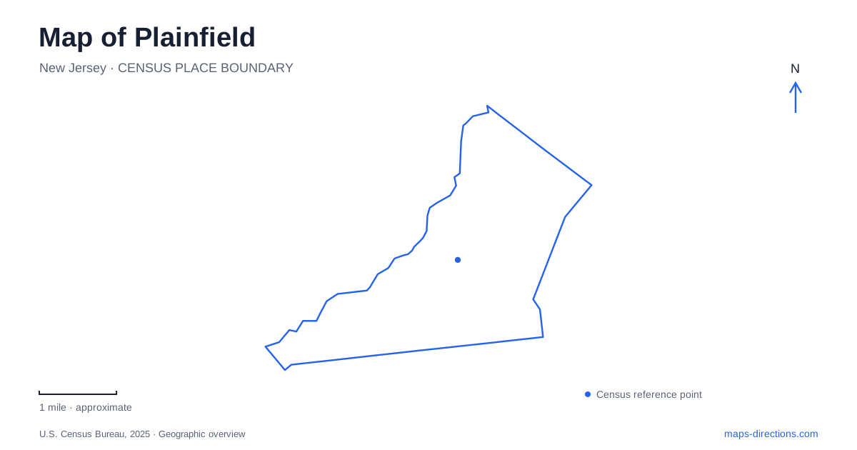
Street tiles load from OpenStreetMap when opened. The blue line shows the 2025 Census boundary.
- State
- New Jersey
- Population · July 2025
- 57,141
- Land area
- 6.0 sq mi
- Water area
- 0.0 sq mi
Plainfield can be read through a sequence of historic streets, railway approaches and landscaped public spaces. North Avenue places the main rail station beside an established historic district. West Front Street leads to a house whose architecture records both colonial farming and Victorian suburban life. Cedar Brook Park adds a carefully designed landscape, including a garden inspired by Shakespeare's writing. These places offer different perspectives on the city, and their street addresses help keep a history-focused visit connected to the practical business of getting around.
The main station and the North Avenue setting
NJ Transit locates Plainfield Station on North Avenue between Watchung and Park avenues. Its ticket office has a separate listed address at 145 East Fourth Street, and parking areas occupy Fourth Street and the Park Avenue area. The different street references describe parts of one rail facility, so an arrival by foot, a vehicle drop-off and a ticket-office visit may begin on different sides of the railway.
The station serves the Raritan Valley Line. Rail travel is therefore part of the city's everyday geography as well as its history. North Avenue itself is a designated historic district, identified in the municipal master plan as having state and national recognition. The combination of rail access and preserved streetscape makes this a useful starting area for understanding the older urban center.
Watchung and Park avenues are particularly helpful cross-street references here. Instead of orienting only by the rail line's direction, they connect the station with the surrounding street network. The railway creates a clear linear feature, while the cross streets organize the movement into adjacent blocks.
Netherwood and the distinction between station areas
Netherwood is the second Raritan Valley Line station serving Plainfield. NJ Transit places it at South and Belvidere avenues, with parking also identified on the North Avenue and Netherwood Avenue side. These paired approaches show how the station relates to streets on both sides of the rail corridor.
The municipal master plan separately identifies Netherwood Heights as a locally designated historic district. That district name describes a neighborhood, while Netherwood station identifies a transport facility. They are useful references at different scales: one for finding a train, the other for understanding an area of historic residential development.
For a rail-based visit, selecting the station should follow the actual destination. The main station's Watchung and Park Avenue setting differs from the South and Belvidere approach at Netherwood. Both belong to the same line, but they introduce different parts of the city. This is especially relevant when a meeting invitation uses a neighborhood name instead of a full street address.
Two eras within the Drake House
The Drake House Museum at 602 West Front Street gives Plainfield a compact but layered historic site. The original house dates to 1746. In the nineteenth century, banker John S. Harberger enlarged and embellished it as a summer residence, giving the older farmhouse a Victorian appearance.
The result is a building that preserves more than one period of domestic life. The museum's rooms interpret the farming household of the Drake family alongside the later suburban life of the Harbergers. Its collections include paintings, furnishings and decorative objects, so the building and its contents tell related stories rather than functioning as a single-date reconstruction.
The museum's current visitor information identifies colonial rooms, a parlor and the Harberger Library on the accessible first floor. The second floor is not wheelchair accessible. That layout matters for planning an interior visit, but it also conveys the building's accumulated character: successive owners adapted a home rather than designing a modern exhibition space from scratch. The West Front Street address anchors that long history in the present city.
Cedar Brook's landscape and literary garden
Cedar Brook Park offers a different historical experience in Plainfield. The Olmsted Brothers designed the park in 1924, and it was largely completed by 1930. The Shakespeare Garden occupies a defined area on its northwestern side, giving a large public landscape a smaller, more formal destination within it.
The garden originally combined plants mentioned in Shakespeare's works with varieties associated with the sixteenth and seventeenth centuries. Its design links literature with horticulture: a flower can be interesting because of its seasonal appearance and because of the text or historical tradition it recalls. Local garden-club volunteers have continued its care over many decades.
Elsewhere in the park, a walking path follows the lake, with pollinator-friendly plantings along the water. This creates a contrast between the deliberate enclosure of the literary garden and the more open lakeside route. A visitor can choose a focused garden stop or a broader walk through the landscape. Both are part of the same designed park, whose history adds another dimension to the city's railway streets and preserved houses.
Map and statistics: U.S. Census Bureau, 2025 Gazetteer, January 2025 generalized place boundaries and Vintage 2025 population estimates. Local references: NJ Transit; City of Plainfield; Union County / Drake House Museum; Drake House Museum; New Jersey Historic Trust; Union County. Article prepared by Maps & Directions.