Map of Pittsfield
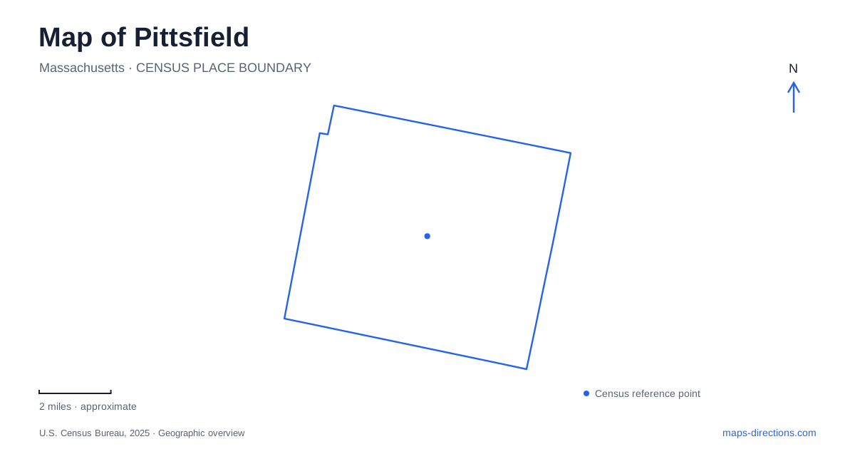
Street tiles load from OpenStreetMap when opened. The blue line shows the 2025 Census boundary.
- State
- Massachusetts
- Population · July 2025
- 42,909
- Land area
- 40.5 sq mi
- Water area
- 2.0 sq mi
Pittsfield combines a compact cultural center with lakes, former farmland, and wooded mountain country. Park Square supplies a useful starting point: North Street carries the downtown corridor away from the square, while South Street continues toward cultural buildings and the southern approaches. The wider map becomes more interesting when those streets are compared with Holmes Road, the Onota shoreline, and Cascade Street. Each leads into a different landscape. A visit organized around these places can reveal both the urban center and the rural surroundings that shaped its literature and recreation.
Streets around the civic center
The downtown map of Pittsfield is especially readable through its directional street names. North, South, East, and West Streets gather around Park Square, with Bank Row and Wendell Avenue adding nearby reference points. The Berkshire Athenaeum stands at 1 Wendell Avenue, while the Colonial Theatre is farther along South Street at number 111. This arrangement puts civic history, books, and performance within the same central area without making them one building or campus.
The Athenaeum adds an important dimension to a literary visit. Its Melville Memorial Room grew from Henry A. Murray's donation of manuscripts, editions, portraits, and personal objects; the room opened in 1953. Arrowhead tells the story through the author's home and landscape, whereas the library preserves a collection within the city center. Comparing the two locations gives a fuller picture than treating all Melville material as part of the farmhouse museum.
A farmhouse oriented toward a mountain
Arrowhead, at 780 Holmes Road, is where Herman Melville completed Moby-Dick after moving to the area in 1850. The surviving house includes his study and the north-facing piazza that entered his writing. The Berkshire County Historical Society also restored the North Meadow to preserve the view toward Mount Greylock. On a map, that long sightline connects a modest domestic property with a much larger mountain landscape.
This is one reason Pittsfield rewards attention to open land as well as landmarks. The farmhouse was a working environment, and its fields and views help explain why the location mattered. The mountain is part of the scene seen from the house, rather than an attraction situated on the house grounds. A visit to the summit belongs to a separate excursion. At Arrowhead itself, the relationship among the study, porch, meadow, and distant ridge provides the local story.
Onota's shoreline and underwater geography
Onota Lake has two markedly different basins. The shallower northern basin contrasts with the deeper southern portion, which reaches about 72 feet. An 1865 dam raised the water level and created the northern basin while enlarging the capacity of the southern one. The familiar outline therefore records engineering as well as natural topography. A small additional water area lies north of Dan Casey Memorial Drive.
Burbank Park provides public access on the eastern shore, including a boat ramp and fishing pier. The northern shoreline along Dan Casey Memorial Drive offers another setting for shore fishing. These locations face different parts of the lake, so choosing between them changes more than the driving approach. The lake's shallow coves, larger open southern water, and public shoreline form a useful set of features to recognize before planning an afternoon around the water.
Gardens within the street network
Springside Park offers another side of Pittsfield at 874 North Street. The municipal property includes Springside House, the Vincent J. Hebert Arboretum, gardens, trails, a pond, and recreation fields. Its combination of cultivated landscape and active recreation makes it different from both the downtown square and the lakeshore. The city's separate listing for pickleball courts at 551 Benedict Road also shows why the park should be understood as an extensive property with facilities on more than one street frontage.
Beyond the city park scale
The state forest's principal address is 1041 Cascade Street. Its approximately 11,000 acres include mountain trails and Berry Pond, with Balance Rock in the northeastern part of the forest. The large boulder resting on bedrock is a specific geological destination within that much broader woodland.
Berry Pond itself lies in Hancock, off Berry Pond Circuit Road. It is a small, shallow pond with undeveloped shores, unlike the much larger Onota. The northern picnic area provides carry-in boat access, and the access road closes seasonally. These distinctions help explain the changing scale around Pittsfield: a downtown street walk, a municipal garden, a lake outing, and a mountain-forest visit each depend on a different part of the landscape rather than a single continuous sightseeing route.
Map and statistics: U.S. Census Bureau, 2025 Gazetteer, January 2025 generalized place boundaries and Vintage 2025 population estimates. Local references: City of Pittsfield; Berkshire County Historical Society; MassWildlife; Massachusetts DCR. Article prepared by Maps & Directions.