Map of Pinellas Park
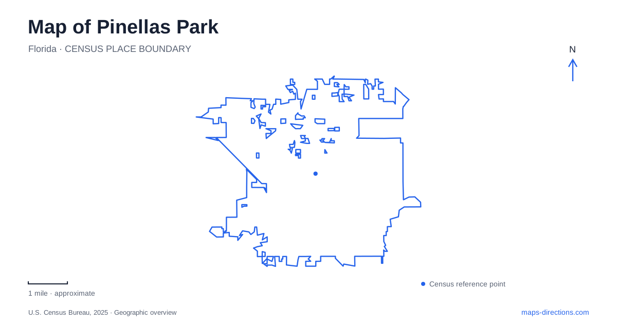
Street tiles load from OpenStreetMap when opened. The blue line shows the 2025 Census boundary.
- State
- Florida
- Population · July 2025
- 52,295
- Land area
- 16.2 sq mi
- Water area
- 0.7 sq mi
Pinellas Park is an inland community whose map reveals more than commercial roads between nearby coastal cities. A civic and performance area, horse-oriented recreation, a municipal farm, and lake parkland give different parts of the city their own character. Numbered streets and avenues provide the basic framework, but named landmarks are essential for choosing an outing. The agricultural and railway history behind the developed landscape helps explain why these varied public places exist here.
Park Boulevard and railway memory
Park Station, at 5851 Park Boulevard, recalls the railway's role in the community. The city's historical photographs distinguish the first station, built in 1912, from the modern Park Station building constructed in 2004. That difference matters when looking at a historic image and then visiting the current address: the name preserves an association, while the present building belongs to a later period.
Rail access, drainage improvements, and new roads helped the early agricultural settlement develop. The municipal redevelopment plan identifies the Cross Bayou Canal and related drainage work as especially important in making land usable for farming and later construction. These systems are a useful part of reading Pinellas Park's landscape. The road grid did not emerge independently of the low-lying land and the work needed to manage water across it.
An event park with an unusual building story
England Brothers Park is north of City Hall, with the municipal facility directory listing its address as 5010 Dave McKay Way. Event calendars also identify it as 5010 81st Avenue North. Its bandshell, open lawn, and event infrastructure make it a gathering place for concerts and community festivals rather than a park centered primarily on sports fields.
The bandshell has a particularly local origin. After a tornado damaged northern parts of the city in 1992, the England brothers retained usable structural components from rebuilding work. Those salvaged materials became part of a collaborative effort to construct the permanent performance shelter. Understanding that story changes the structure from an anonymous stage into a record of recovery and community construction. Outside organized events, a paved path crosses the open green space.
The Barbara S. Ponce Public Library, at 7770 52nd Street North, provides another civic reference in this general area. Its name honors a former library director and community services administrator whose work included the library's expansion and other recreation projects. The library and bandshell therefore represent related strands of public investment, though they serve different daily purposes.
Horses and recreation on 94th Avenue
Helen Howarth Community Park is at 6301 94th Avenue. Its equestrian center and horse trails distinguish it from the more familiar combination of playgrounds and ball fields. The park also offers a paved walking path and other recreation facilities, so visitors can encounter both ordinary neighborhood activities and the city's established horse community in one setting.
For a Pinellas Park route, keep the equestrian trail separate from assumptions about a general cycling or walking path. The municipal park information supplies a dedicated horse-trail map because the riding network has its own alignment. This is a concrete example of why the type of trail matters as much as the green line drawn on a general map.
Next door, the Patti Johnson farm is at 6199 94th Avenue. The city describes a setting where animals may choose whether to interact with visitors and explicitly notes that rides are not offered. Its relationship to the park makes the two easy to understand as neighboring destinations, but the farm is a separate activity with its own visitor arrangements.
Lake recreation and the numbered grid
Freedom Lake Park adds a waterside setting to the recreation choices. Municipal descriptions identify a walking track, playground, picnic facilities, fishing, and a Korean War memorial. A visit here can therefore combine a lake walk with a commemorative stop, rather than following the event-focused pattern of England Brothers Park or the equestrian setting on 94th Avenue.
The numbered road system helps connect these destinations, provided the full street or avenue name is retained. A street number and an avenue number are not interchangeable, and the North suffix belongs in the address. This is particularly useful when moving between civic buildings and recreation spaces whose names offer little clue about their position within the grid.
A varied inland community
A map of Pinellas Park becomes more informative when the railway reference, civic venues, horse trails, farm, and lake are considered together. They reveal an agricultural settlement that developed substantial public recreation and cultural facilities within an urban county. Choosing a route around those specific places gives a Pinellas Park visit a local purpose beyond simply passing through on the way to the coast.
Map and statistics: U.S. Census Bureau, 2025 Gazetteer, January 2025 generalized place boundaries and Vintage 2025 population estimates. Local references: City of Pinellas Park. Article prepared by Maps & Directions.