Map of Pico Rivera
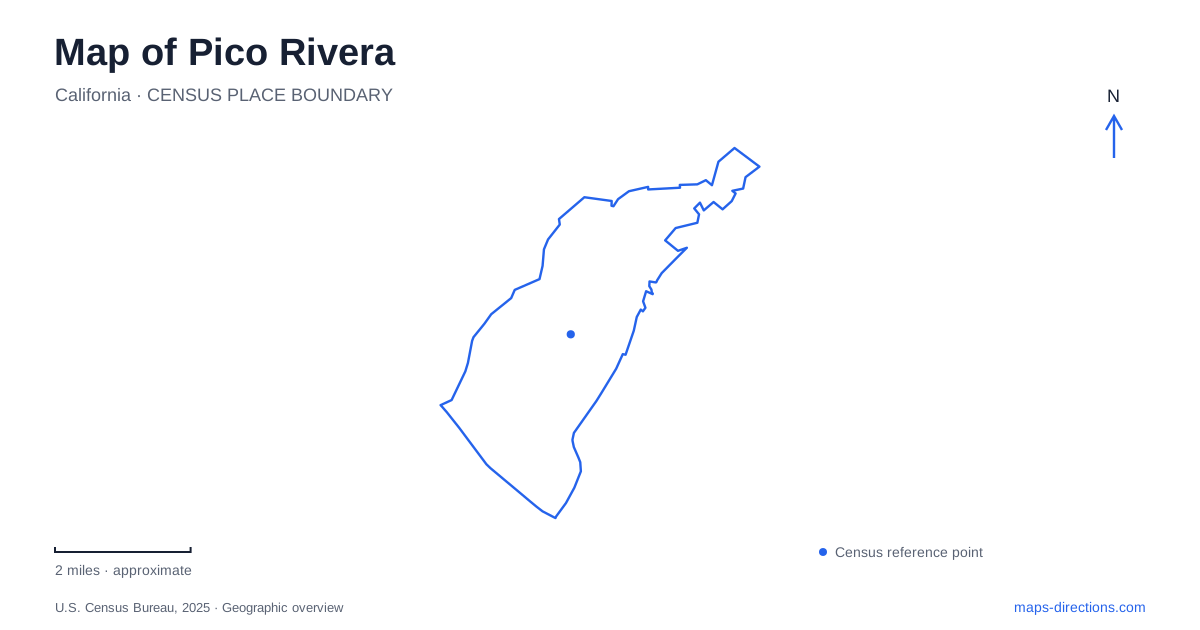
Street tiles load from OpenStreetMap when opened. The blue line shows the 2025 Census boundary.
- State
- California
- Population · July 2025
- 58,915
- Land area
- 8.3 sq mi
- Water area
- 0.6 sq mi
Pico Rivera's map combines a dense network of local streets with the much larger spaces associated with the Rio Hondo and San Gabriel rivers. These waterways are part of a working landscape of flood control and water recharge, as well as a focus of recreation planning. Within the developed city, Beverly Boulevard, Rosemead Boulevard, Slauson Avenue and Passons Boulevard provide useful references for parks, services and regional travel.
The rivers reveal a different scale of land use
The Rio Hondo spreading grounds occupy a broad area that looks very different from the surrounding neighborhoods. Their primary functions involve water conservation, recharge and reclamation. The city has proposed adding passive recreation, trails and habitat improvements while retaining those functions. This distinction matters when looking at a map: a large area of apparently open land is not automatically a public park with unrestricted access.
The wider river-and-park revitalization program also concerns the San Gabriel corridor and the effects of the Whittier Narrows Dam safety project. These plans show how strongly the river landscape influences the city's recreation opportunities. They do not establish that every proposed path or park has already been built. Existing facilities and future concepts need to be read as different layers.
For a map of Pico Rivera, this gives the waterways an explanatory role beyond being blue lines. They help account for unusually large parcels, flood-control structures and the location of recreation proposals. A useful local outing begins with an established park or venue, while the river corridors provide the larger context around it.
Beverly Boulevard and the neighborhood park network
Pico Park is at 9528 Beverly Boulevard. Pio Pico Park, despite the similar name, is a different facility at 4211 Columbia Avenue. The distinction is easy to lose in a quick search, yet the two addresses place visitors in different local settings. Keeping the full park name and street together is especially helpful for a scheduled activity or gathering.
Rio Hondo Park is at 8421 San Luis Potosi Place, while Rivera Park is at 9530 Shade Lane. The city identifies a youth center at the former and basketball, batting cages and pickleball activity at the latter. These are established neighborhood recreation destinations with their own programs, rather than generic access points to the rivers whose names appear elsewhere on the map.
The park network gives Pico Rivera a set of smaller local anchors. Smith Park, at 6016 Rosemead Boulevard, relates directly to another major road, while Streamland Park uses a Durfee Avenue address. Those street identities are useful when comparing facilities across the city. A park near one corridor may suit an outing better than a similarly named place reached through a different neighborhood.
The arena belongs to a larger event landscape
The Pico Rivera Sports Arena lists its address as 11003 Sports Arena Drive. Older municipal planning records use Rooks Road for the arena complex and place it within the Whittier Narrows flood-control basin setting. That difference between older and current address descriptions is worth recognizing when comparing a historic planning map with a contemporary venue listing.
The arena's association with charreadas and Latin entertainment gives it a cultural role distinct from the city's neighborhood recreation centers. A large event visit is organized around this specific venue, not around a general park search. The surrounding flood-control landscape also helps explain why its setting feels different from a facility embedded in an ordinary residential block.
For route planning, the venue's own current address is the clearest destination reference. The older road name remains useful for understanding documents and maps, but should not replace the event location supplied by the operator. This is a concrete example of why a place can retain its identity while the way its address is presented changes.
Major roads connect the local and regional maps
Rosemead Boulevard forms part of the longer Rosemead–Lakewood corridor, which the city identifies with California Highway 19. Slauson Avenue supplies another regional connection: Metro lists Line 108 as serving the city along that corridor. These roads have a different role from the smaller streets used by neighborhood parks, because they connect local destinations with a wider metropolitan journey.
Rail proposals need a separate reading. Metro's Eastside Transit Corridor Phase 2 describes a future E Line extension toward Whittier, including service to Pico Rivera, with construction planned in stages. A proposed station shown in project material is not an operating rail stop. The existing street and bus network remains a separate map layer from the future rail plan.
Taken together, the boulevards, named parks, arena and river infrastructure explain the city's layout. They also make the map more useful for a specific purpose: a neighborhood recreation visit, a major cultural event or a trip that continues across the surrounding Los Angeles area.
Map and statistics: U.S. Census Bureau, 2025 Gazetteer, January 2025 generalized place boundaries and Vintage 2025 population estimates. Local references: City of Pico Rivera; City of Pico Rivera Parks and Recreation; Pico Rivera Sports Arena; LA Metro. Article prepared by Maps & Directions.