Map of Phoenix
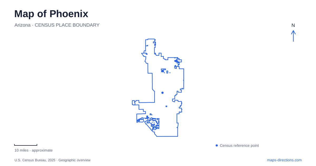
Street tiles load from OpenStreetMap when opened. The blue line shows the 2025 Census boundary.
- State
- Arizona
- Population · July 2025
- 1,665,481
- Land area
- 518.4 sq mi
- Water area
- 1.0 sq mi
Phoenix offers an important lesson in map scale: an orderly street network can coexist with mountain terrain that requires a completely different approach. Airport terminals add another layer, with road arrivals and automated train connections serving different purposes. The most useful map is therefore not always the closest zoom on a landmark. It is the view that shows how the intended arrival point connects to the surrounding streets, station or trailhead.
Keep the street name complete
The municipal general-plan map identifies major streets including Central Avenue and Washington Street, alongside the wider arterial network. It is helpful for understanding the relationship between areas, but the city cautions that a general-plan street network is not a final statement of every road connection. Planning maps and driving maps answer different questions. Use the former to understand the city and the latter to establish a usable approach.
A Phoenix address should retain the directional letter and the full street type. The city's trailhead list, for example, includes both South 19th Avenue and East Pima Canyon Road. Removing the direction or substituting a similarly numbered street can change the intended destination. Check the surrounding road names after a search, particularly when the result looks plausible simply because it falls somewhere within the same large metropolitan area.
South Mountain is more than one park entrance
South Mountain Park/Preserve contains the Ma Ha Tauk, Gila and Guadalupe mountain ranges. Its scale and internal terrain make a generic park pin inadequate for choosing a hike. The city publishes separate trailhead addresses and trail descriptions because different entrances connect to different routes. Decide on the trail or facility first, then use its associated trailhead rather than asking navigation to reach the middle of the preserve.
The main entrance is listed at 10919 South Central Avenue. The Environmental Education Center has its own address at 10409 South Central Avenue and serves the Judith Tunell Accessible Trail. Although these destinations share a road and park identity, they have different functions. A visitor seeking the accessible trail should preserve the education-center destination instead of allowing a general park search to replace it with another entrance.
Pima Canyon and the western approaches are distinct
The Pima Canyon Trailhead is listed at 4500 East Pima Canyon Road. The city associates it with routes including Desert Classic and Marcos De Niza. By contrast, the 19th Avenue Trailhead is listed at 10500 South 19th Avenue, while Area 620 uses a separate address farther along that avenue. Similar park branding does not make these starting points interchangeable.
For Phoenix outdoor planning, compare a trail's named access point with its route description before saving directions. A line that crosses a ridge can represent a hiking connection without providing a road connection between parking areas. Treat the drive to the trailhead and the route on foot as two separate parts of the outing. This avoids assuming that the nearest point on a mountain outline offers the intended trail access.
Dobbins Lookout has two kinds of approach
The city identifies Dobbins Lookout as reachable by hiking trails and Summit Road. That distinction should be resolved before navigation begins. A walking route toward the lookout and a road route toward it do not imply the same starting location, effort or final approach. The scenic roads also serve more than one type of user, so a road visible on a recreational map should not be treated as an empty connection reserved for cars.
A map of Phoenix can show the lookout's location clearly while saying little about whether a particular approach is suitable for the planned outing. Consult the park's current access information and the actual trail description. The purpose of the map is to make the geography understandable; it does not replace information about a route's terrain, restrictions or current availability.
Airport arrivals use a different network
Sky Harbor's automated PHX Sky Train connects the airport terminals with the Rental Car Center, economy parking areas and the Valley Metro Rail connection at 44th and Washington streets. The 24th Street station is a separate stop west of the terminals. These names describe transfer points, not interchangeable versions of the terminal address. Choose the one that matches the next stage of the journey.
For a Phoenix airport trip, distinguish a terminal pickup from collecting a rental car or transferring to regional rail. The airport map shows those facilities as parts of one connected system, but the passenger still needs the correct terminal or station. Retaining that detail alongside the full street address and any park trailhead makes a wider itinerary much clearer: city roads establish the approach, facility maps establish the arrival, and trail maps establish movement beyond the road.
Map and statistics: U.S. Census Bureau, 2025 Gazetteer, January 2025 generalized place boundaries and Vintage 2025 population estimates. Local references: City of Phoenix; Phoenix Sky Harbor International Airport. Article prepared by Maps & Directions.