Map of Philadelphia
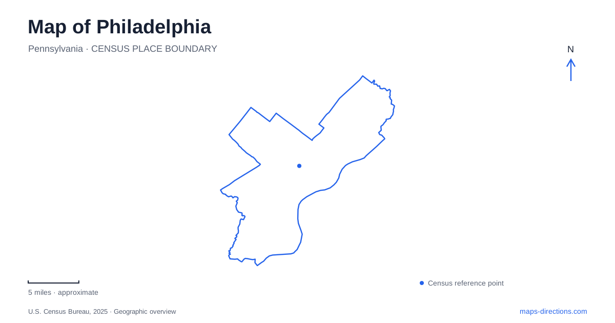
Street tiles load from OpenStreetMap when opened. The blue line shows the 2025 Census boundary.
- State
- Pennsylvania
- Population · July 2025
- 1,574,281
- Land area
- 134.3 sq mi
- Water area
- 8.1 sq mi
Philadelphia's central geography is framed by two different rivers. The Delaware lies on the eastern side of Center City, while the Schuylkill lies to the west. Those names are more useful than the general word waterfront when choosing a destination. The historic district, downtown streets and western river trail can fit within one overview, yet each asks for a different kind of arrival detail. Begin by identifying the correct side of the center, then refine the route to the actual entrance.
Two riverfronts are not one destination
The official visitor map places Penn's Landing beside the Delaware and the Schuylkill Banks along the opposite river. University City appears across the Schuylkill, while Camden lies across the Delaware in New Jersey. These relationships establish a clear first check for a search result: is the destination between the rivers, beyond one of them, or on a particular bank? A pin can look close to downtown while still requiring a crossing.
On a Philadelphia itinerary, save the named waterfront attraction instead of shortening every stop to “the river.” A trail outing on the western side and a meeting at Penn's Landing on the eastern side are separate plans. Keeping the river name with the destination makes the itinerary intelligible to another person and guards against selecting a plausible-looking result on the wrong edge of Center City.
Use the visitor center as a specific historic-district anchor
The National Park Service recommends beginning an Independence National Historical Park visit at the Independence Visitor Center, at 6th and Market Streets. That intersection provides a more concrete arrival reference than the park's broad name. Several historic sites occupy nearby blocks, so locating the visitor center helps orient the visit without pretending that one building is the entrance to every attraction.
The park service lists underground visitor-center garage entrances on 5th or 6th Street between Market and Arch Streets. This is an example of why a building address and a driving entrance should be considered separately. A route to the building's most prominent label may not present the garage entrance from the correct street. Preserve the entrance instruction when planning to park, and use the pedestrian destination when planning the subsequent walk.
The Liberty Bell has its own building and route
The Liberty Bell Center is listed at 526 Market Street, with visitors leaving from its southern end near Chestnut Street. That entrance-and-exit relationship helps explain a walking sequence through the site. A map displaying the bell symbol is useful for location, but it does not describe the whole visitor flow. Treat the building as a distinct destination rather than assuming that the symbol marks a point accessible from any side.
For Philadelphia historic-site visits, consider support facilities too. The park service identifies public restrooms in the visitor center and notes their absence inside the Liberty Bell Center. This makes the nearby visitor center useful for more than initial orientation. Planning those stops on the same neighborhood map is practical, while relying on a single attraction pin can leave basic needs and the return route unclear.
The western river trail depends on access points
Schuylkill Banks publishes named access points, including ramps and stairs at different streets. The boardwalk follows the eastern shore between Locust Street and the South Street Bridge. Its construction addressed a narrow strip between the railroad tracks and the river, which is why the path moves over the water rather than simply continuing along an ordinary street edge.
The boardwalk connects with a ramp on the north side of the South Street Bridge and a stair tower on its south side. Those are distinct approaches with different implications for someone who needs a step-free route. Look for the access type, not just the bridge name. A street map can show the trail immediately below a bridge while leaving the vertical connection easy to overlook.
A station-to-trail walk includes a river crossing
Schuylkill Banks' own directions describe reaching the trail from 30th Street Station by crossing the river. They identify the southern sidewalk of the Market Street Bridge for ramp access and the JFK Boulevard Bridge for stairs. The important detail is not merely that the station is close to the trail; it is which crossing supplies the intended connection. This is a good reason to inspect a pedestrian route independently from a car route.
A useful Philadelphia map plan therefore links named places in sequence: station or garage, bridge or street approach, and final entrance. For a historic outing, that might mean the visitor center followed by the Liberty Bell building. For a river outing, it means the chosen access point followed by the correct bank and trail segment. The map becomes a record of real connections instead of a collection of nearby-looking symbols.
Before leaving for Philadelphia, confirm the actual site or trail access information for the planned day. Keep the Delaware and Schuylkill destinations clearly separated in saved directions, and retain entrance details wherever a garage, bridge or riverbank changes the last part of the journey.
Map and statistics: U.S. Census Bureau, 2025 Gazetteer, January 2025 generalized place boundaries and Vintage 2025 population estimates. Local references: Visit Philadelphia; National Park Service; Schuylkill River Development Corporation. Article prepared by Maps & Directions.