Map of Perth Amboy
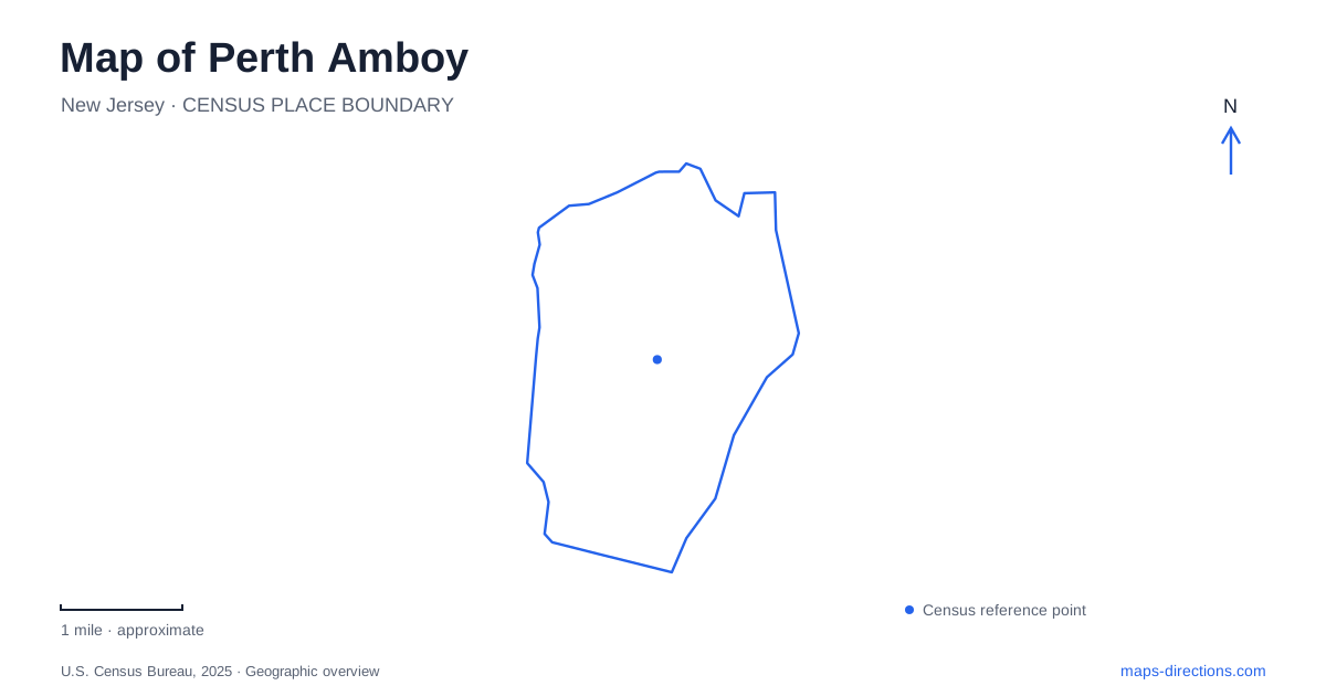
Street tiles load from OpenStreetMap when opened. The blue line shows the 2025 Census boundary.
- State
- New Jersey
- Population · July 2025
- 56,739
- Land area
- 4.7 sq mi
- Water area
- 1.3 sq mi
Perth Amboy occupies a meeting place of waterways: the Raritan River and Arthur Kill open into Raritan Bay around the port city. That setting gives its street map an unusually strong waterfront orientation. The eastern shore faces the Arthur Kill, while Sadowski Parkway follows the bayfront farther south. Historic government buildings, a former governor's residence, railroad facilities, and maritime landmarks occupy a compact area within this larger coastal outline. Begin with the water, then follow the streets inland to understand why these destinations developed here.
Smith Street and the railroad approach
Smith Street provides a useful starting line for understanding Perth Amboy. NJ TRANSIT places the historic rail station between Smith and Market streets near the Raritan River. Built in 1927, the station has Renaissance Revival architectural features, and it entered the National Register of Historic Places in 1984. The railroad therefore contributes a substantial historic landmark of its own, rather than serving merely as transportation to older buildings elsewhere.
The station and ferry slip also describe two different periods of regional travel. A state recovery planning document identifies Smith Street between these destinations as a corridor where improved street design could strengthen the connection. Reading that corridor on a map helps organize a visit: the rail facilities belong to the inland arrival sequence, while the ferry structure belongs to the waterfront. The street between them is part of the story, joining the commercial town to a shoreline once used for regular passenger crossings.
A ferry landing beside a changing industrial shore
The restored ferry slip records the former connection with Tottenville on Staten Island. Regular service operated here from 1863 through 1963. Much of the present structure is a 1990s reconstruction incorporating original material, and the large shed recalls the mechanism that adjusted the landing to changing tides. This is a historic ferry site, so its symbol on a map should not be read as a promise of a present passenger departure.
Farther along the Arthur Kill, Perth Amboy's redevelopment history includes the Sea Gate proposal for environmental cleanup and a public esplanade from Front Street to the bulkhead at Washington Street. Those named endpoints explain the intended waterfront connection. Approval documents record a planning decision rather than the availability of every walkway or plaza. Distinguish established shoreline destinations from project drawings when choosing a public route beside the former industrial properties.
Sadowski Parkway and the bayfront
The southern waterfront has its own character. A state shore protection project replenished the beach along Sadowski Parkway between High Street and Second Street after storm damage. The same project addressed a broader shoreline area at the meeting of Raritan Bay and the Arthur Kill. Those named streets are useful boundaries for locating the bayfront recreation area without confusing it with the industrial redevelopment sites farther along the eastern shore.
Waterfront Perth Amboy is consequently more varied than one continuous scenic label suggests. A walk centered on the beach has a different geographic emphasis from an outing centered on the ferry structure or colonial buildings. The parkway puts the open bay in the foreground; the slip emphasizes the narrow crossing and the town's maritime exchange. Choosing one of those themes first gives an excursion a coherent scale, with the other features available as additional stops rather than a collection of unrelated addresses.
Colonial buildings within the modern street network
Proprietary House stands at 149 Kearny Avenue. Completed in 1764, it served as the residence of New Jersey's last royal governor and later accommodated uses including a hotel, private mansion, retirement home, and boarding house. The state owns the property, while the nonprofit association operates its museum. Its layered history explains why the building cannot be understood only as a surviving colonial residence: later generations repeatedly adapted it to new purposes.
Arrange museum visits through the association's visitor information rather than relying on an earlier reopening forecast. The exterior landmark can orient a neighborhood walk even when an interior visit requires separate arrangements. Elsewhere in the historic center, City Hall commemorates Thomas Mundy Peterson's 1870 vote under the Fifteenth Amendment, tying the civic landscape to national voting history.
A map of Perth Amboy becomes more informative when these places are read together. The railroad, ferry landing, bayfront parkway, royal residence, and civic building reveal successive forms of travel and public life. Their relationships explain the town's waterfront identity more clearly than a list of attractions alone.
Map and statistics: U.S. Census Bureau, 2025 Gazetteer, January 2025 generalized place boundaries and Vintage 2025 population estimates. Local references: NASA Earth Observatory; NJ TRANSIT; New Jersey Department of Community Affairs; City of Perth Amboy; New Jersey Department of Environmental Protection; Proprietary House Association. Article prepared by Maps & Directions.