Map of Pensacola
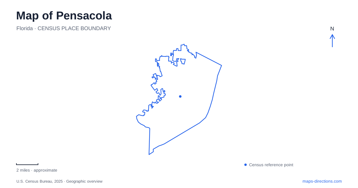
Street tiles load from OpenStreetMap when opened. The blue line shows the 2025 Census boundary.
- State
- Florida
- Population · July 2025
- 53,817
- Land area
- 22.8 sq mi
- Water area
- 18.4 sq mi
Pensacola faces a sheltered bay, while the better-known Gulf beaches occupy a separate barrier-island landscape. This distinction is fundamental to its map. Downtown streets, historic squares, and museums belong to the mainland waterfront; the beach and Fort Pickens lie beyond Gulf Breeze on Santa Rosa Island. Naval attractions form another destination area toward the bay entrance. Begin with these three settings and the road network becomes easier to interpret without assuming that everything associated with the coast is located on the same shore.
Palafox and Seville organize downtown
Palafox is the central commercial street reference, with restaurants, shops, and gathering spaces along its corridor. Plaza Ferdinand is on South Palafox near East Government Street. Farther east, Seville Square anchors another part of the historic district. The relationship between the commercial spine and these older public spaces gives downtown several useful points of orientation within a relatively compact area.
The city's preservation description places the main historic district between Chase Street to the north, Ninth Avenue to the east, Palafox Street to the west, and the bay to the south. These boundaries are more informative than a general downtown label. They indicate a district extending from inland streets toward the waterfront, where civic spaces, historic houses, and museums occupy neighboring blocks rather than one enclosed attraction site.
Historic buildings retain several layers of use
Historic Pensacola Village brings together house museums and other heritage properties within that downtown setting. Old Christ Church, at 405 South Adams Street beside Seville Square, is one of its clearest landmarks. Completed in 1832, the building has served as a church, public library, and museum, and was occupied by federal troops during the Civil War. Its present role includes tours and events.
That sequence is useful when reading the streetscape. A building's architectural form does not always identify its current purpose, and the old church remains significant partly because it has adapted to different civic needs. Guided house tours also include the Lavalle, Dorr, and Lear/Rocheblave houses, allowing visitors to consider domestic buildings alongside the square and church. The tour meeting point is at the Museum of Industry, rather than at every individual house.
Museum Plaza, at 120 Church Street behind the history museum, adds a newer public space to this grouping. Opened in 2019, it supports gatherings within the heritage area. It complements the older squares while helping visitors understand how the historic district continues to function as a contemporary part of the city.
A bayou landscape northeast of the waterfront core
Bayview Park offers Pensacola a different kind of waterfront at Bayou Texar. The park's address is 2001 East Lloyd Street, and its Outdoor Pursuits Center is at the east entrance of the community resource building. Kayaks, paddleboards, bicycles, and other outdoor equipment are available through the municipal rental program.
Here the water relationship is with a bayou and surrounding neighborhoods, rather than the open Gulf shoreline. That distinction makes the park useful for a different sort of outing from a beach trip. The center's rental program and instructional activities build on that local setting, while the park itself supplies a public place to spend time beside the water. A waterfront label alone would conceal these differences between the bayou, downtown bayfront, and offshore beach landscape.
Naval history requires a separate approach
The National Naval Aviation Museum is on Naval Air Station Pensacola. Public visitors use the installation's West Gate at the south end of Blue Angel Parkway, and access requirements are separate from ordinary museum admission. The museum's current instructions specify accepted identification and additional arrangements for foreign nationals. A route to the museum must therefore be planned around the designated base entrance, not just the building's position within the installation.
The naval setting also helps explain why nearby historic sites and museums cannot be treated as an extension of a downtown walking route. These are destinations within a working military environment, with a different approach road and access process. The bay connects their historical stories, but the land routes remain distinct.
The barrier island and wooded peninsula
Fort Pickens occupies the western end of Santa Rosa Island, where the fortification helped defend the channel into the bay. The island's low barrier geography was part of its defensive importance. Naval Live Oaks, by contrast, is at 1801 Gulf Breeze Parkway along US 98, with trails and picnic areas overlooking Santa Rosa Sound and access toward the bay.
A map of Pensacola is most useful when these coastal places remain clearly separated from the mainland city. Palafox and Seville Square introduce urban history, Bayview Park reveals the bayou, the naval museum interprets aviation within the installation, and the island and peninsula sites show the larger coastal landscape that surrounds them.
Map and statistics: U.S. Census Bureau, 2025 Gazetteer, January 2025 generalized place boundaries and Vintage 2025 population estimates. Local references: Visit Pensacola; Downtown Improvement Board; City of Pensacola; UWF Historic Trust; National Naval Aviation Museum; National Park Service. Article prepared by Maps & Directions.