Map of Pennsylvania
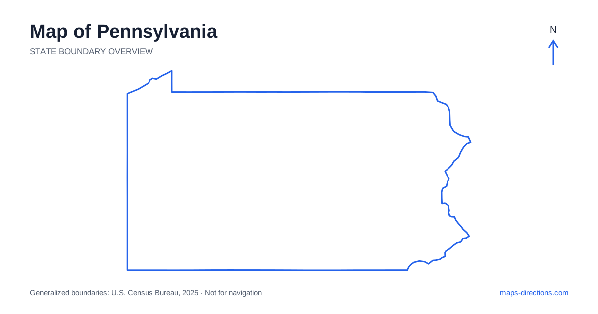
Pennsylvania stretches from the Delaware River in the east to the Ohio border and a short Lake Erie shoreline in the northwest. Philadelphia, Harrisburg, Pittsburgh and Erie provide essential regional anchors, but the spaces between them include ridges, valleys, forests and smaller industrial or agricultural communities. The state is not simply a flat connection between two famous metropolitan areas. A useful map identifies the relevant river valley or mountain corridor before the trip is arranged, especially when a local destination sits away from the main east-to-west highways.
Place the eastern cities beside their rivers
Philadelphia occupies the southeastern corner of Pennsylvania along the Delaware and Schuylkill river systems. Its metropolitan area extends beyond the city and across state lines, so a destination described by the regional name can involve a different riverbank or highway approach. Use the exact address for an airport transfer, central-city visit or suburban stay.
Farther north, Allentown, Bethlehem and Easton form a separate Lehigh Valley region. These cities are not outer neighborhoods of Philadelphia, even though a broad eastern map may place their labels close together. A visit involving both areas needs an actual regional transfer. Bridges, local river crossings and the selected side of each urban network can also change the final approach, making a detailed arrival view useful after the main corridor is chosen.
Locate the capital in the Susquehanna corridor
Harrisburg is the state capital and lies along the Susquehanna River. The surrounding area includes communities on both banks, with bridges connecting local destinations and major highways. A place near the river should be identified by its actual side and access road rather than simply by its distance from the city-center label.
Lancaster and York occupy distinct south-central settings, while Gettysburg lies farther southwest with its own approaches. A cultural or historical itinerary through these places can form a coherent regional plan, but the route should show the sequence explicitly. Choosing one centrally appearing hotel does not guarantee convenient access to every stop. The river, highway junctions and final local roads are more useful guides to a base than the midpoint of a cluster of labels.
Read the Appalachian ridges through their gaps
Central Pennsylvania contains long ridges and valleys that influence the road network. A route may follow one valley for a considerable distance before reaching a practical crossing into the next. Two towns on opposite sides of a ridge can therefore have a much longer road connection than the statewide overview suggests.
The Turnpike and other major highways provide important east-to-west routes, but smaller roads serve different local purposes. A scenic valley drive should not automatically replace a through-highway transfer merely because it looks shorter on a simplified map. Select the actual town or visitor entrance and trace the approach through the terrain. This is particularly helpful for forest, lake and mountain destinations whose broad regional labels cover far more land than one access road serves.
Understand Pittsburgh's river and hill geography
Pittsburgh sits where the Allegheny and Monongahela rivers meet to form the Ohio River. The three-river setting, surrounding hills and numerous separate neighborhoods make bridge choice a practical part of local routing. An address across a river can require a different approach from another destination that appears equally close to downtown.
The wider western metropolitan region extends beyond the central confluence, and an airport stay is not equivalent to a central-city base. When the journey continues north or east, the selected side of the region also matters. Use the full address and relevant crossing before comparing routes. The iconic river junction is excellent for orientation, but the final street network explains how the actual destination is reached.
Give the northern forests and lakefront their own scale
Northern Pennsylvania includes extensive wooded and rural areas, with regional roads connecting communities across a broad landscape. The Poconos occupy a northeastern mountain-and-lake region, while the north-central forests and northwestern destinations belong to different networks. These areas should not be combined into one generic northern outdoor district.
Erie sits on the Great Lakes shoreline in the northwest and has a separate geographical relationship to the water from the river cities elsewhere in the state. A lakefront or peninsula destination requires its specific entrance rather than a pin somewhere along the shore. For an itinerary that also includes inland recreation areas, show the connecting drive and overnight sequence. The shared outdoor theme does not make those destinations neighboring stops.
Choose the corridor that fits the actual itinerary
A southeastern city visit, a south-central historical route, a Pittsburgh stay and a northern outdoor trip each provide a clear starting focus. Interstate 80 supplies a major route across the northern interior, while other highways connect the southern city regions and north-to-south corridors. Choose the framework according to the destination sequence, not simply the most prominent line on the map.
For a Pennsylvania journey, keep riverbanks, ridge crossings and local access points visible alongside the main highways. Use the state outline for broad position and closer maps for each arrival. This preserves the practical difference between a long transfer through a valley, a bridge approach into a city and a rural road into the hills, making the route more realistic than a straight line between widely recognized place names.