Map of Penn Hills
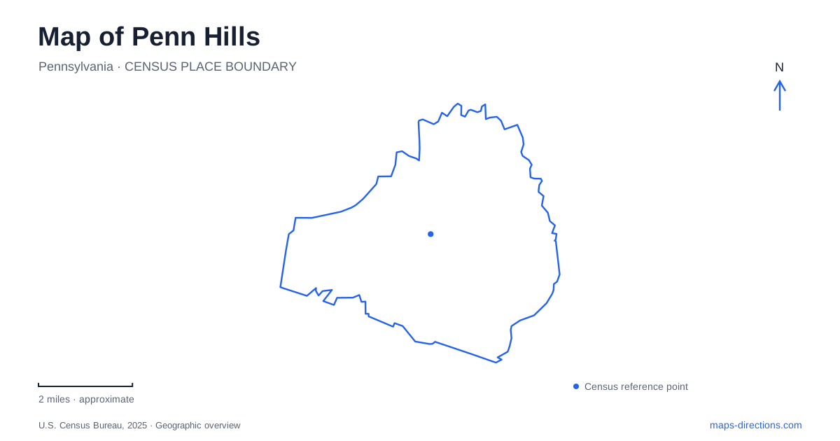
Street tiles load from OpenStreetMap when opened. The blue line shows the 2025 Census boundary.
- State
- Pennsylvania
- Population · July 2025
- 39,452
- Land area
- 19.1 sq mi
- Water area
- 0.2 sq mi
Penn Hills is best understood as a collection of neighborhoods and connecting roads rather than a town arranged around one dominant square. Its eastern Allegheny County setting includes long-established residential areas, traces of earlier rural settlement, and public facilities distributed across several corridors. The names on the map tell part of that story: some recall landowners, some describe neighborhoods, and others identify institutions whose mailing addresses use a neighboring place name. These distinctions matter when locating a specific destination.
Township history survives in road names
The municipality developed from territory separated from Wilkins Township in 1851 and was known as Penn Township until 1958. It adopted home-rule government in 1976. Those changes explain why historical records use different names for substantially related territory; they do not necessarily indicate that an event occurred in a distant Pennsylvania township with a similar name.
The comprehensive plan describes an earlier landscape of farms and rural labor before smaller communities grew around industrial activity. Names including Rodi, Duff, Hamil, Hulton, Poketa, Shannon, and Turner preserve connections to landowners from that period. Modern roads therefore carry a record of settlement even where the farms themselves no longer define the landscape. For Penn Hills, this dispersed origin helps explain why a network of named corridors is more informative than looking for a single founding intersection. The contemporary municipality joined these local histories within one larger suburban community.
Three civic addresses with different purposes
The municipal building is at 102 Duff Road. The parks and recreation office is at 6600 Leechburg Road, while the public library is at 1037 Stotler Road. These are separate destinations, despite all serving the same community. An administrative address printed on a municipal webpage is not necessarily the location of the park, meeting, or service described on that page.
The mailing labels themselves illustrate another local distinction. The parks office uses a Verona address, and the library lists Pittsburgh in its postal address. Neither label alone explains municipal jurisdiction. For a map of Penn Hills, the street and building number provide the practical destination, while the municipal boundary answers a different question. This is particularly useful when matching an invitation, a program announcement, or an older directory entry to the correct facility. A shared postal city should not be used to collapse several public places into one location.
Pavilion names identify places within parks
The municipality's pavilion listings distinguish Duff Park at 120 Duff Road from Universal Park at 1 Memorial Park Drive. Universal contains the Connolly, Crawshaw, and Schrott pavilions. These names identify gathering spaces within a shared park, rather than three unrelated neighborhood parks.
At 120 Colorado Street, Maple, Red Oak, and Sycamore are likewise pavilion names within the community park. The listed recreation facilities include a walking trail, playground, and softball field, with a bocce court associated with the Sycamore listing. Turner-Friendship Park, at 1340 Hunter Road, is another separate setting. This level of detail matters when a gathering is announced by pavilion name alone: the park address gets visitors to the correct property, and the pavilion name then identifies the intended meeting point. The recreation map has both a neighborhood scale and an internal park scale.
A library serving more than book borrowing
The library on Stotler Road is an important indoor gathering place in Penn Hills. Its adult programming includes creative activities, exercise, discussions, films, music, and talks. It also provides meeting spaces and technology services, so its role extends beyond a collection of books on shelves.
The building's renovation history includes a Keystone Grant paired with a municipal contribution toward infrastructure and community spaces. That funding record concerns work on the established library, not evidence of a replacement address. The location and the arrangement of individual rooms are different kinds of map information. A visitor can use the library as a community landmark while consulting its facility guidance for the particular entrance, service or gathering space needed.
Connections that remain planning work
Municipal planning identifies missing sidewalk links on Frankstown, Rodi, Saltsburg, and Universal roads as priorities. It also discusses collaboration with Verona, Oakmont, and Plum on a trail connection between the Allegheny riverfront and Boyce Park. A feasibility study is part of that process, but a proposed connection should not be drawn mentally as an already continuous public route.
These projects reveal a practical concern within Penn Hills: connecting established neighborhoods and public places more effectively. The existing map records where the library, parks, and civic offices stand today. Planning documents describe how movement between such places may improve. Keeping those two layers distinct produces a more accurate picture of a community whose history and services are spread across multiple local centers.
Map and statistics: U.S. Census Bureau, 2025 Gazetteer, January 2025 generalized place boundaries and Vintage 2025 population estimates. Local references: Municipality of Penn Hills; Penn Hills Library. Article prepared by Maps & Directions.