Map of Pembroke Pines
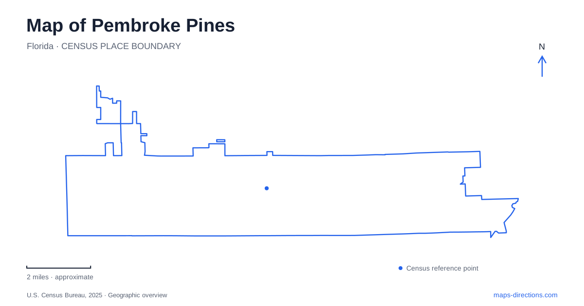
Street tiles load from OpenStreetMap when opened. The blue line shows the 2025 Census boundary.
- State
- Florida
- Population · July 2025
- 176,714
- Land area
- 32.7 sq mi
- Water area
- 2.1 sq mi
Pembroke Pines grew outward from a small eastern settlement into a city with several distinct public destinations. Its map makes more sense when the North Perry airfield is treated as an early organizing feature rather than an unexpected gap in a residential landscape. Farther west, civic buildings, a county recreation park, and a wetland preserve represent different stages and purposes of development. Pines Boulevard provides a major east-west reference, but the places along and beyond it have histories that extend well beyond a suburban road pattern.
An airfield before the surrounding neighborhoods
North Perry Airport opened in 1943 as a United States Navy training field. It occupied land formerly associated with Henry Perry's dairy farm, and its military role preceded the dense residential development around it. The airport remains a general aviation facility managed by Broward County, serving a different purpose from a large commercial passenger terminal.
Four major roads outline its location: Pines Boulevard on the north, Pembroke Road on the south, Southwest 72nd Avenue on the east, and University Drive on the west. This block of aviation land explains why local street routes pass around the airfield rather than continuing straight through the area. Broward College lies near its northeastern corner, while the Forman medical campus occupies land to the west of University Drive.
The eastern geography of Pembroke Pines therefore preserves an earlier land-use decision beneath the modern urban pattern. The airport was not inserted into a finished neighborhood; residential and commercial development grew around an existing facility. Its boundaries remain useful for orienting nearby addresses and understanding the shape of the street network.
A small beginning near the Turnpike
The first two subdivisions were established in 1954 between Southwest 72nd Avenue and the Florida Turnpike. Incorporation followed in 1960 after an earlier village incorporation was legally challenged. The original community occupied less than a square mile, a much smaller area than the city shown on current maps.
Municipal history describes the area's postwar transformation from dairy farms and open land into housing for families, including former servicemen returning to South Florida. Early government meetings were held at a resident's home before civic facilities developed. This history helps explain why there is no single old commercial square from which every present-day destination radiates.
For a map of Pembroke Pines, the original eastern neighborhoods and the later civic center belong to different chapters. Recognizing that sequence is more useful than assuming the current City Center marks the location of the earliest settlement.
Civic space with an arts role
Charles F. Dodge City Center at 601 City Center Way combines municipal activity with public gathering spaces. The Frank C. Ortis Art Gallery and Exhibit Hall, commonly called The Frank, opened there in April 2017. Its exhibition and educational functions give the complex a cultural role alongside government meetings.
That combination makes the address relevant for several different kinds of visit. Someone attending an exhibition, a commission meeting, or a public event may be heading to the same larger complex but using a different room or programmed space. The relationship is part of the building's purpose: civic participation and cultural activity share a central public setting.
This newer gathering place provides Pembroke Pines with a recognizable institutional landmark, while the early eastern neighborhoods retain their separate historical importance. The two should be read together as evidence of how public facilities followed the city's growth.
County recreation and western wetland habitat
C.B. Smith Park lies at 900 North Flamingo Road. Broward County operates this recreation destination, which includes lakeside camping, the Paradise Cove water park, and a concert green with an open-air amphitheater. These facilities support a broad range of organized and outdoor activities within one park property. The county identity also distinguishes its reservations and programs from those of municipal neighborhood parks.
Chapel Trail Nature Preserve presents a different landscape at 19800 Sheridan Street. Established in the 1990s, it protects wetland habitat and provides a 1,650-foot boardwalk with an observation pavilion. Birds, marsh rabbits, turtles, and other wildlife use the wetlands, giving the site an ecological and educational role within the developed city. The current facility notice says canoe rentals are suspended, so older descriptions listing that activity should not be treated as a promise of availability.
Together these destinations show the range within Pembroke Pines: an operating airfield tied to wartime history, residential streets that began near the Turnpike, a civic and arts complex, active county parkland, and a wetland observation setting. Their distinct locations and purposes turn the map into an account of local growth rather than a collection of similar-looking suburban blocks.
Map and statistics: U.S. Census Bureau, 2025 Gazetteer, January 2025 generalized place boundaries and Vintage 2025 population estimates. Local references: Broward County Aviation Department; City of Pembroke Pines; Broward County; Broward County Parks. Article prepared by Maps & Directions.