Map of Pearland
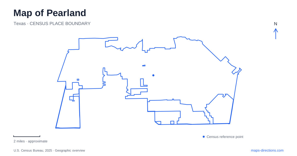
Street tiles load from OpenStreetMap when opened. The blue line shows the 2025 Census boundary.
- State
- Texas
- Population · July 2025
- 129,930
- Land area
- 49.2 sq mi
- Water area
- 0.2 sq mi
Pearland occupies part of the southern Houston metropolitan area, where major road corridors coexist with creeks, drainage channels and surviving pieces of coastal prairie. The city is not best understood as one dense center surrounded by empty land. Its map instead presents a spread of neighborhoods, commercial roads and outdoor destinations. Main Street, Broadway and State Highway 288 provide the road framework; Shadow Creek Ranch and the Mary's Creek landscape reveal a different, environmental framework within that developed setting.
Two familiar streets also have highway numbers
The comprehensive plan identifies Main Street with State Highway 35 and Broadway Street with FM 518. Recognizing both names is useful when moving between a regional road map and a local address. A highway shield and a street label may refer to the same corridor, rather than to two parallel routes. Main is described as a central north–south road, while Broadway appears across the city's east–west urban pattern.
State Highway 288 supplies another major regional reference. The plan also places the city in relation to Beltway 8 and Interstate 45, reflecting its position within the larger Houston network. These regional routes explain connections beyond the municipality, while Main and Broadway help locate ordinary destinations within it. A local trip benefits from keeping both scales visible: the regional corridor establishes the approach, and the named city road establishes the relevant part of town.
The western nature trail preserves a different landscape
Shadow Creek Ranch Nature Trail occupies a site on Kingsley Drive. The city's account describes an area that had been coastal tallgrass prairie before agricultural conversion and later urban growth. Its restoration program is therefore not merely decorative planting around a neighborhood path. It aims to recover some of the vegetation and habitat associated with an earlier landscape, giving the site a specific ecological purpose.
For a Pearland map reader, this explains why a relatively small natural area can matter within a large developed district. The trail, observation platform and interpretive signs offer a place to examine the local landscape rather than simply pass through it. The name “Shadow Creek Ranch” can describe a much broader neighborhood context, whereas the nature trail identifies a particular public site at 1801 Kingsley Drive. The two scales complement each other without being interchangeable.
Mary's Creek crosses the middle of the city
Municipal planning describes Mary's Creek as a tributary of Clear Creek, originating in the Silverlake area and extending eastward through the city's middle. That relationship supplies a continuous geographic line across otherwise separate neighborhoods. It also explains why creek corridors appear repeatedly in park and trail planning: they connect places by drainage and landscape, even where the road network divides them into different local areas.
The same planning material distinguishes Clear Creek, Mary's Creek, Cowart Creek and Mustang Bayou rather than treating all waterways as one system with one name. In a Pearland overview, retaining those labels prevents the blue lines from becoming anonymous decoration. Their direction and tributary relationships help explain where green spaces and drainage lands occur. A proposed linear park in an older plan, however, is evidence of planning intent rather than proof that a continuous trail has been completed.
Ponds and education meet on Magnolia Parkway
The Delores Fenwick Nature Center is listed at 5750 Magnolia Parkway. Its outdoor setting includes paths around two ponds with bird-nesting islands, while an educational pond near the building demonstrates native aquatic habitat. This makes the center a useful place for understanding the watery features that appear throughout the city map. The ponds are not just a generic park ornament; they are part of the site's environmental education setting.
The municipality also identifies a connection with the Mary's Creek trail system. That gives the center a relationship to the broader landscape discussed above, while its building houses a different kind of experience through exhibits and programs. For a Pearland outing, those two roles can be considered together: a fixed educational destination and an outdoor setting tied to the creek corridor. The published facility map and program location clarify which part is relevant to a particular visit.
Reading urban growth and natural systems together
The city's parks map places recreation sites among subdivision streets, major roads and named waterways. This is a more informative picture than treating nature as something located only beyond the urban edge. The Kingsley Drive prairie restoration, Magnolia Parkway ponds and eastward creek corridor show different ways in which remnants, managed habitats and drainage geography remain embedded in the developed city.
A useful Pearland map therefore preserves both the road names and the landscape names. Main and Broadway explain the local road structure; Highway 288 explains one regional connection; the prairie and creek destinations explain the terrain between developed areas. This combination supports a practical understanding of where places belong while avoiding the assumption that every green or blue shape serves the same recreational purpose.
Map and statistics: U.S. Census Bureau, 2025 Gazetteer, January 2025 generalized place boundaries and Vintage 2025 population estimates. Local references: City of Pearland. Article prepared by Maps & Directions.