Map of Peachtree City
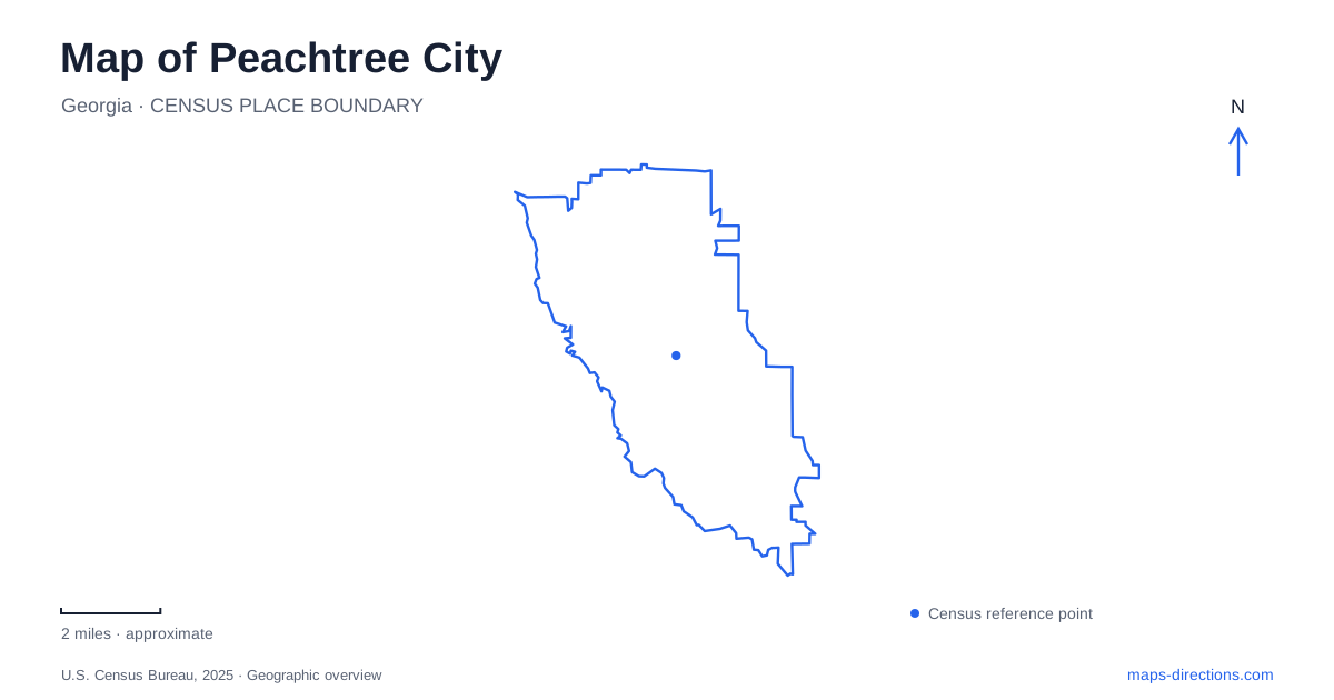
Street tiles load from OpenStreetMap when opened. The blue line shows the 2025 Census boundary.
- State
- Georgia
- Population · July 2025
- 40,880
- Land area
- 25.1 sq mi
- Water area
- 0.9 sq mi
Peachtree City was designed around villages and connecting paths, so its map rewards a different reading from a conventional street-only plan. Neighborhood roads are one network, while shared-use paths connect many everyday destinations by another. Lakes, creek corridors, and nature areas give that network a landscape to follow. Looking at all three layers together explains more than simply locating the largest shopping center or road junction.
Five villages within one planned community
The city received its charter on March 9, 1959, after developers assembled more than twelve thousand acres in Fayette County. The plan organized development into villages, each intended to include shopping, recreation, and elementary schools. The five village names are Aberdeen, Braelinn, Glenloch, Kedron, and Wilksmoor.
Those names describe parts of one municipality rather than five separate towns. They are useful orientation labels because the original concept distributed daily activities across the community. A destination described by its village may therefore give a better first clue to its setting than a general reference to the entire city.
The land also had an earlier history. The municipal overview identifies farming communities and areas called Aberdeen, Kedron, and Shakerag before the modern development. Some names therefore bridge the older rural landscape and the planned suburban one, while the charter date marks the beginning of the present municipality rather than the beginning of human activity on the land.
Paths as a second transport map
Peachtree City's shared-use system extends for more than one hundred miles and connects neighborhoods with shops, schools, offices, places of worship, recreation centers, and lakes. Its function is broader than a collection of exercise loops. The paths help organize how people move between destinations that would otherwise be understood mainly through the road network.
A road map and a path map consequently answer different questions. The street system explains vehicle approaches, while the shared-use network reveals connections through green space and between neighborhoods. The city's interactive path map is designed to show those relationships at a more detailed level than a broad regional road view.
The presence of that extensive paved network should not obscure the different character of nature trails. A route into woods or wetlands may have a natural surface or boardwalk and serve a different purpose from a path connecting shops and schools. The local map becomes more useful when those route types remain distinct.
Flat Creek below the lake spillway
Flat Creek Nature Area provides a particularly clear geographical sequence in Peachtree City. The city describes a 513-acre wetland extending downstream from the Lake Peachtree spillway at Kelly Drive and McIntosh Trail toward Highway 74. The lake, spillway, creek, and wetland are connected elements of the same water landscape.
The nature area's listed address is 201 McIntosh Trail. A mulch path, a twelve-hundred-foot boardwalk, and viewing platforms allow visitors to experience part of that wetland. The boardwalk can be reached from beside the Fred Brown Amphitheater or from the shared-use path system.
This relationship between an entertainment venue and a wetland walk is locally distinctive. The amphitheater provides a recognizable starting reference, while the boardwalk moves into a landscape shaped by water and vegetation. The public walking route reveals only part of the much larger protected corridor, so its length should not be confused with the full wetland's extent.
Line Creek's rockier trail setting
Line Creek Nature Area offers another outdoor setting in Peachtree City near Highway 54 and MacDuff Parkway. The preserve includes wooded trails, a creek, a pond, and rock outcroppings. Its terrain and water features give it a different character from the Flat Creek wetland boardwalk.
The city's trail map names Creek, Mule, Pond, Ridge, Wetland, and Shoal routes and marks Mule Rock as a point of interest. These names provide a practical vocabulary for the different parts of the preserve. A visitor can interpret the outing as a sequence of smaller trail sections rather than assuming there is one continuous loop with a single landscape.
The map also places the preserve beside nearby streets and commercial development. That juxtaposition is part of its appeal as a local destination: wooded creekside walking exists within the broader developed community rather than requiring a remote regional trip.
An island within the lake landscape
J.K. "Chip" Conner Island adds a smaller-scale destination on Lake Peachtree. The city's nature-area description identifies a footbridge, trails, and open space for picnicking and lake views. It offers another way to encounter the water, distinct from following Flat Creek downstream or exploring Line Creek's rocky sections.
Together, these settings explain Peachtree City's pattern: distributed villages, paths that support daily movement, and protected landscapes that offer different kinds of outdoor experience. Village names orient the larger plan, while specific creeks, bridges, and trail sections give a local trip its detail.
Map and statistics: U.S. Census Bureau, 2025 Gazetteer, January 2025 generalized place boundaries and Vintage 2025 population estimates. Local references: City of Peachtree City. Article prepared by Maps & Directions.