Map of Peabody
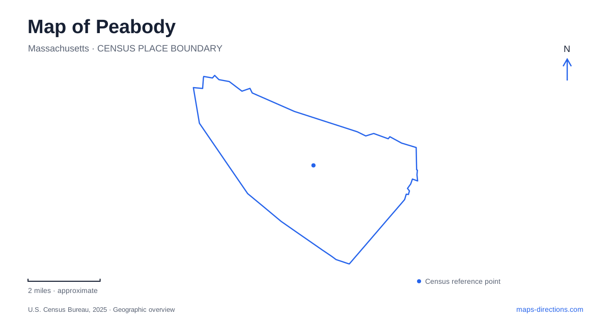
Street tiles load from OpenStreetMap when opened. The blue line shows the 2025 Census boundary.
- State
- Massachusetts
- Population · July 2025
- 55,953
- Land area
- 16.2 sq mi
- Water area
- 0.6 sq mi
Peabody contains a revealing contrast between an industrial downtown and surviving agricultural land. Main Street and the nearby historic houses record a community shaped by commerce and manufacturing, while Felton Street leads toward orchards and older farm properties. Greenways introduce another layer, following corridors through residential districts, wetlands, and conservation land. A useful map distinguishes these settings instead of allowing the regional highway network to dominate the picture. The city's character becomes clearer at the scale of a street, a historic property, or a selected trail segment.
Main Street and the industrial town
The downtown design standards explain why industry concentrated here: rivers and streams supported pottery production and later the leather and tanning trades. The resulting Leather City identity was tied to the physical landscape as much as to the businesses themselves. On a contemporary map, Main Street remains an organizing corridor for exploring the built environment that developed from that economic history.
The Peabody Institute Library at 82 Main Street is a particularly useful landmark. Its principal building was completed in 1854, designed by architect Richard Bond in the Italianate style. Red brick, rounded window openings, and sandstone details distinguish it from a generic civic building. Historical images show a tall tower that was removed during twentieth-century renovations, a reminder that even a familiar surviving landmark has changed over time.
The library's public purpose also belongs in the town's geographic story. It provided a place for learning in the heart of a growing community, making cultural access part of the same central district that supported commerce. Locating it first gives a downtown walk a concrete architectural focus before branching toward nearby historic streets.
Washington Street's separate historic properties
The historical society maintains a cluster of properties on Washington Street. The Gideon Foster House is at number 35, the Osborne-Salata House at number 33, and the Sutton-Peirson House at number 31. This close grouping makes the street a distinct heritage setting, separate from the society's properties on Felton Street farther away.
For anyone tracing Peabody's history, those two clusters should be read together but planned separately. Washington Street presents a concentration of historic houses within the urban landscape. Felton Street leads toward land where farm buildings, orchards, and conservation areas become more prominent. A single organization preserves both, which explains why its name can appear beside destinations that are not on the same block.
Contact the society to arrange visits to the Foster and Osborne-Salata houses. That arrangement matters for an interior visit, particularly if period furnishings or the collections are the main interest. The named houses and their street numbers provide a more precise plan than the society's general office label alone.
Felton Street and the orchard landscape
Brooksby Farm is at 54 Felton Street. Along the approach are the Felton-Smith Historic Site and Smith Barn, while the farm's public trail map shows orchard loops, perimeter paths, and named woodland routes. These features retain a substantial agricultural and open-space setting within a city better known in many regional searches for highways and shopping areas.
The National Register documentation explains part of this landscape's development. Joseph Smith acquired the younger Felton house and adjoining property in the early twentieth century, helping form the orchard farm. Descendants sold more than two hundred acres to the city in 1976 for conservation and recreation, while historic buildings were preserved through the historical society. The farm and heritage site therefore reflect related preservation decisions rather than one undivided attraction.
For a walking outing in Peabody, the farm map provides names that make a route understandable: Orchard Loop, Felton Loop, Tower Loop, and the perimeter trails. The orchard and historic buildings give that walk a different subject from a downtown architectural visit. Seasonal farm activities add another reason to visit, but their availability follows the crop calendar rather than the permanence of a map marker.
Greenways through different parts of the city
The Independence Greenway is described by the city as two distinct paved sections. The western section has trailheads at Lieutenant Ross Park and Russell Street near the Middleton boundary. It passes conservation landscapes associated with Norris Brook, Crystal Lake, and wetlands. A second section begins near the North Shore Mall and parallels much of Lowell Street, placing it closer to developed commercial and residential areas.
The Kristen Crowley Trail adds a connection toward the Danvers Rail Trail, with access off Lowell Street near the Interstate 95 underpass. These relationships help explain which corridor suits a particular outing. They should not be mistaken for proof that every proposed extension is already complete.
Seen through its streets and paths, Peabody offers an industrial center, a civic library, historic domestic properties, and preserved orchard land. Choosing one of these geographic themes gives a visit a clear focus while showing how much variety lies within the same municipal boundary.
Map and statistics: U.S. Census Bureau, 2025 Gazetteer, January 2025 generalized place boundaries and Vintage 2025 population estimates. Local references: City of Peabody; Peabody Institute Library; Peabody Historical Society; City of Peabody Recreation Department; National Park Service; Brooksby Farm. Article prepared by Maps & Directions.